

 Home
HomeYunInsar Interferometric SAR
1、 Product Overview
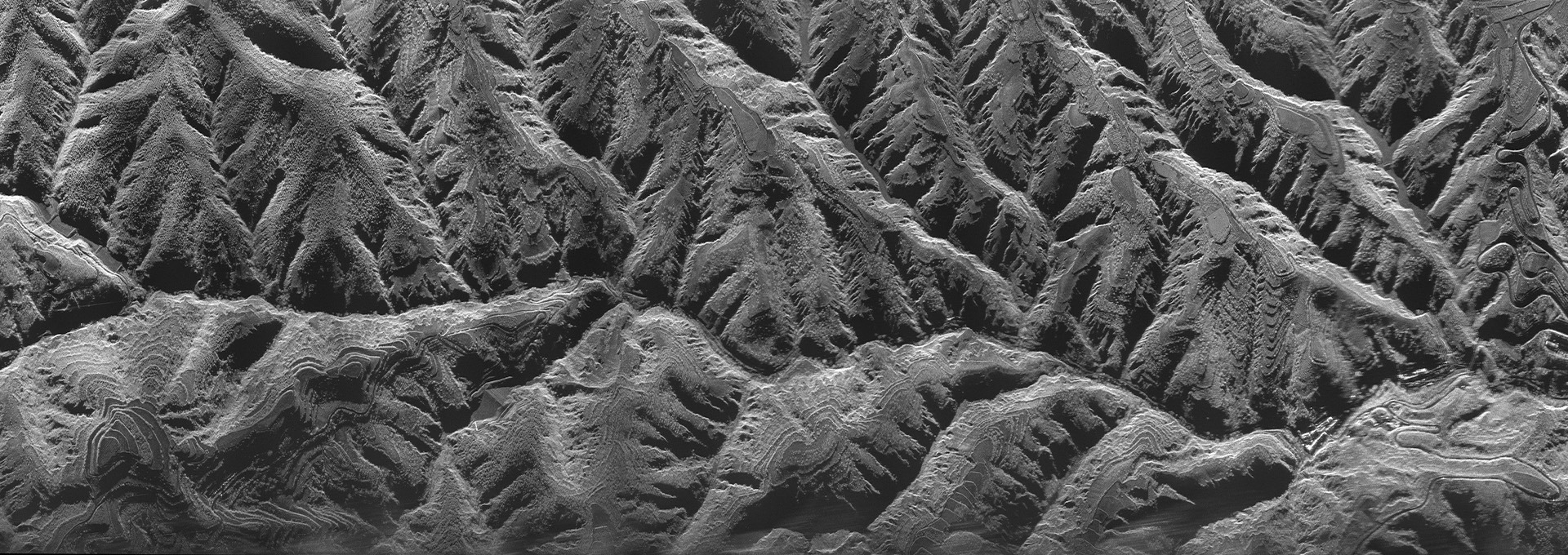
YunInsar System consist of X-band InSAR and P-band fully polarimetric SAR. The pod is equipped with left and right side-looking antennas, which alternately transmit pulses via a switch, enabling simultaneous acquisition of dual-side-looking polarimetric imaging results. It utilizes the P-band's ability to penetrate vegetation to obtain surface digital models (DTM) of vegetated areas and leverages the high-resolution imaging characteristics of the X-band to obtain surface digital models (DSM) of target areas. It possesses the capability to acquire high-resolution radar image data, digital surface models, polarimetric interferometric image data, and moving target detection around the clock and in all weather conditions. It can accurately retrieve target location information and has wide applications in topographic surveying and mapping, urban planning, scientific research, and national security.
2、 Technical Advantages
1. Three Core Objectives: Integrating dual-band technology, high-precision interferometry, and lightweight manned-machine interface, this solution aims to provide users with efficient, flexible, and high-precision Earth observation solutions;
2. Dual-Frequency Parallelism and Modular Design
X-band (9.6 GHz):Short wavelength, extremely high resolution, responsible for high-resolution interferometric imaging, capable of acquiring high-precision digital surface models (DSMs), finely capturing the outlines of surface buildings, road boundaries, and even fine structures such as bridge expansion joints;
P-band (600 MHz):Longer wavelength, extremely strong penetration capability, able to penetrate vegetation canopies, dry soil, and other cover materials, enabling terrain extraction under vegetation and full polarization classification, revealing the "invisible terrain";
Modular design allows RF, digital, antenna, and power modules to be independent, facilitating maintenance and upgrades;
3. Multi-Mode and Platform Adaptation
Multi-Mode Collaboration: Supports X-band cross-track interferometry, P-band full polarization striping, and dual-band collaborative operation, PRF 1000~5000Hz adjustable;
UAV Compatibility: Deeply integrated into the UAV platform, designed for a maximum operating altitude of 7000m and compatible with flight speeds of 70~140m/s;
4. Long Baseline Cross-Track Interferometric Antenna Layout Scheme
By optimizing the antenna layout and baseline design, high coherence of the interferometric phase is ensured, providing a hardware foundation for elevation accuracy better than 0.5m (at a flight altitude of 5000m);
5. Two-Stage Motion Compensation Algorithm Based on Echo Data
Effectively eliminates the impact of platform motion errors on imaging quality, ensuring high-precision interferometric processing;
6. Full-Polarization High-Precision Calibration and Calibration Technology
Supports full-polarization data acquisition, and through high-precision calibration and calibration, ensures accurate extraction of multi-polarization information, providing reliable data support for ground feature classification and identification.
3、 Installation Diagram
|
Outside the cabin |
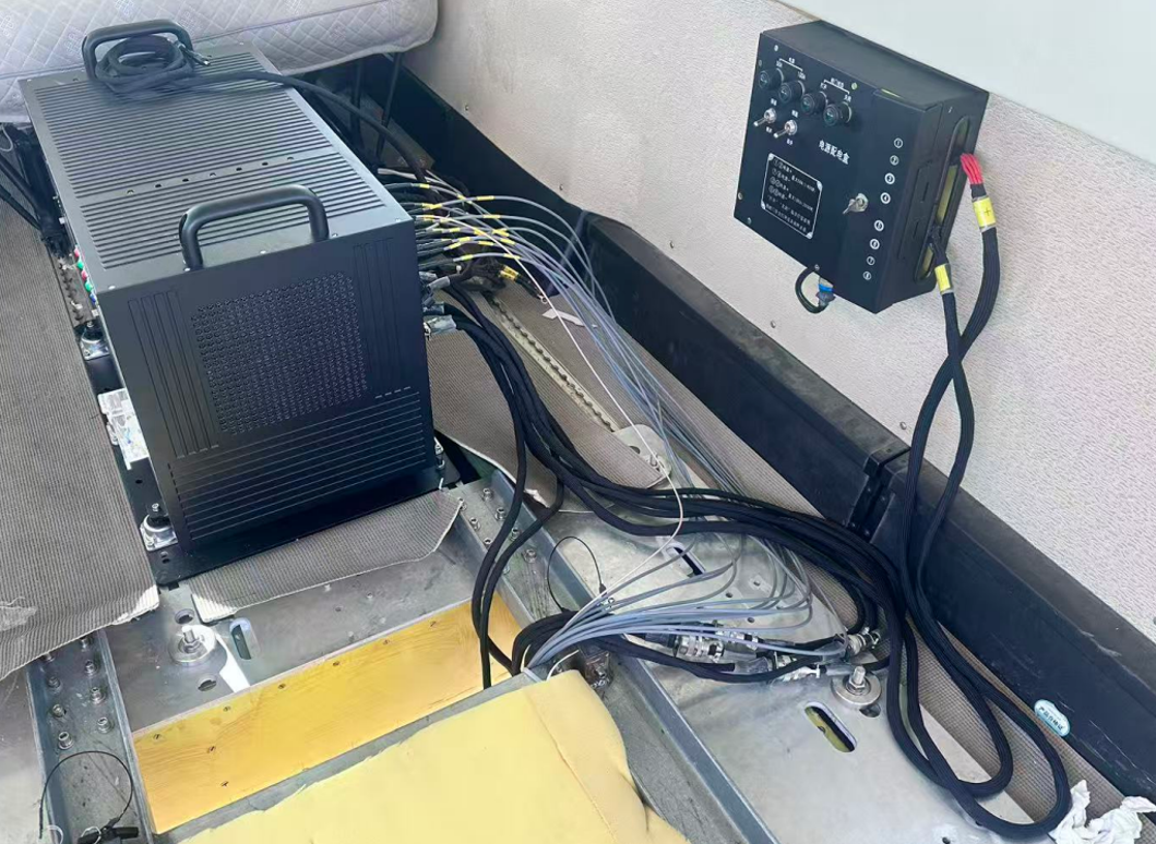 Inside the cabin Inside the cabin |

4、 Technical Parameters
| Parameter | Specification | |
| Operating Frequency Band | X (center frequency 9.6GHz) | P (center frequency 600MHz) |
| Antenna Type | waveguide slot array antenna (cross-track interference baseline 6m) | microstrip antenna |
| Pulse Repetition Frequency | 1000Hz~5000Hz | 1000Hz~5000Hz |
| Work Pattern | cross-track interference(XTI) | fully polarized strip imaging |
| Polarization Mode | HH | HH、HV、VH、VV |
| Range Resolution | 0.14-3m | 0.5-3m |
| Azimuth Resolution | 0.14-3m | 0.5-3m |
| Real-Time Imaging | possess | |
| Working Height | 1000m~7000m | |
| Continuous Operation Time | 6h | |
| Weight | ≤105kg | |
| Geometric Measurement Accuracy | meets the requiremnts of mapping specifications for 1:2000, 1:5000 and 1:10000 | |
5、 Imaging Image
X-band flight result at 5600 meter
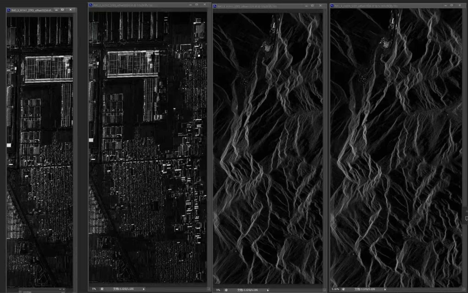 left side-looking X1 left side-looking X2 right side-looking X3 right side-looking X4
P-band flight result at 5600 meter
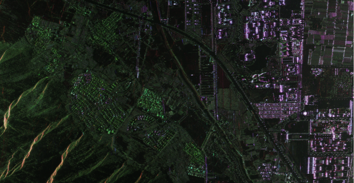
full polarization P1

full polarization P2


