

 Home
HomeDisaster Emergency Response
Affected by the complex natural environment and human activities, disaster emergency monitoring has become a key means of safeguarding public safety and reducing disaster losses. SAR, with its unique advantages of all-weather, high-precision, and strong penetrability, plays multiple roles as a "warning sentinel, emergency vanguard, and assessment staff" in disaster emergency response. It not only provides critical intelligence in times of crisis, but also runs through the entire process of disaster prevention and reduction, becoming an indispensable technological defense line for modern society to respond to natural disasters.
1、 The unique advantages of SAR in disaster emergency response
1. All-day and all-weather observation
Optical and infrared satellites are completely shielded by night, rainstorm, thick clouds and fire smoke; SAR actively emits microwaves, unaffected by light, clouds, rain, and smoke, and can obtain comprehensive images of the disaster area as soon as a disaster occurs.
2. Wide and fast coverage
Airborne SAR can flexibly fly to disaster stricken areas, quickly grasp the overall disaster situation, and fill the blind spots of ground transportation interruption and personnel inability to reach.
3. Possess surface penetration capability
Long band SAR can penetrate shallow water, sparse vegetation, and mild debris, identify roads and buildings buried by mud, water, and trees, and determine whether there are traces of human activity in the buried area.
4. Multi mode integrated monitoring capability
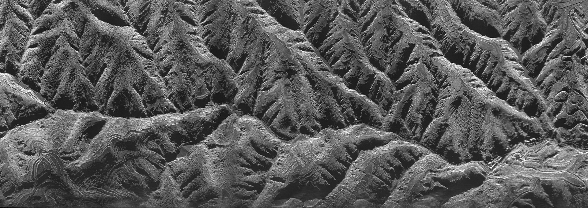
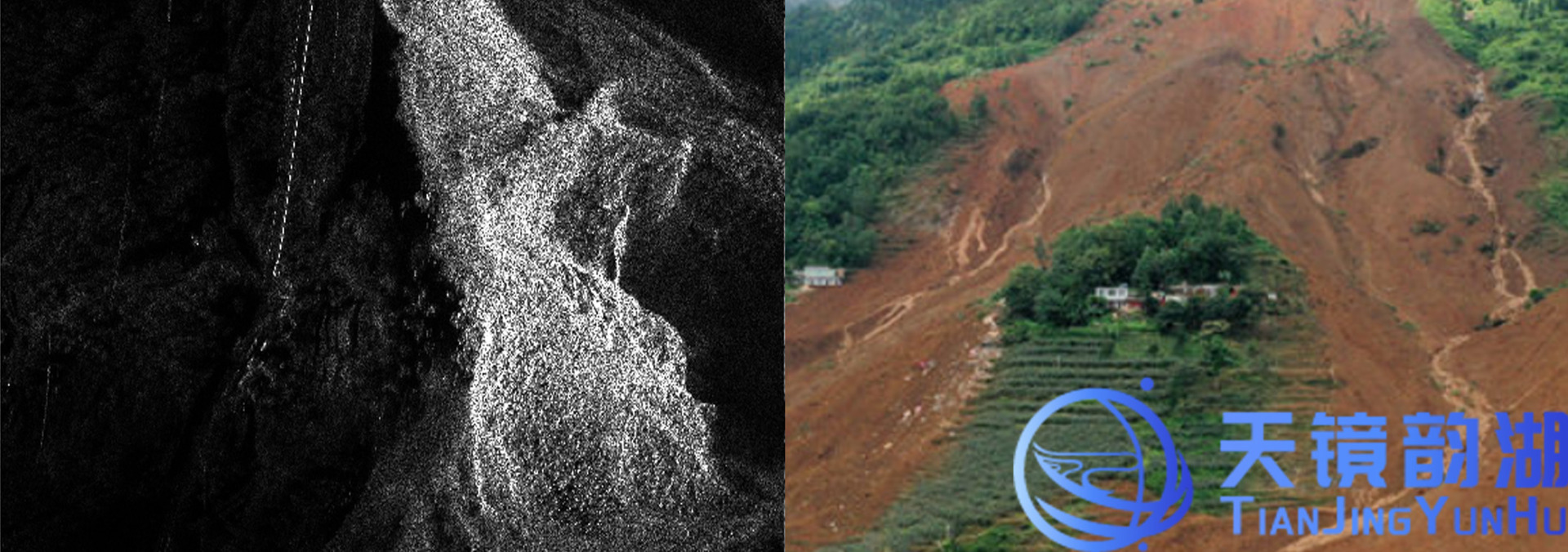
Static imaging:Identify collapsed houses, damaged roads, landslides, and dammed lakes;
InSAR interference mode:Monitor small deformations of the mountain to achieve early warning of landslides and collapses;
GMTI :Capture mobile vehicles, rescue machinery, and evacuate people in disaster areas, distinguish between stationary ruins and moving targets.
5. Not affected by power outages or ground facility paralysis
Earthquakes and floods can destroy cameras and ground monitoring stations. SAR relies on space-based/airborne platforms for independent imaging, without the need for ground equipment cooperation.
2、 The core role of SAR in disaster emergency response
1. Conduct a rapid post disaster disaster survey to grasp the overall scope of the disaster
After the occurrence of floods, typhoons, and earthquakes, quickly delineate the submerged areas, collapsed houses, landslides, and road fracture areas, calculate the affected area, assist the command center in dividing the severely and lightly affected areas, and coordinate the deployment of rescue forces.
2. Dynamic monitoring of hazards and hidden dangers to prevent secondary disasters
Continuously observing slope and mountain deformation using interferometric SAR to predict landslides and debris flows;
Identify barrier lakes formed by river blockage, monitor the range of water level rise, and provide early warning of dam failure risks;
SAR penetrates thick smoke at the fire scene, delineates open flames and burned areas, and monitors the direction of fire spread.
3. Inspect damaged roads and lifelines, and plan rescue routes
Compare pre disaster and post disaster SAR images to identify interrupted highways, bridge collapses, and tunnel inundation; Combined with GMTI dynamic target detection, search for passable roads and guide rescue teams and helicopters to carry out transportation.
4. Search and rescue assistance, locating personnel activity areas
Large areas of debris and accumulated water after floods and earthquakes are covered, and rescue vehicles and construction machinery driving in disaster areas are identified through dynamic target detection; Areas with vehicular activity represent trapped individuals or rescue teams, and priority should be given to conducting search and rescue operations.
5. Continuous tracking of disaster development
During the passage of typhoons and peak floods in river basins, continuous imaging is conducted at multiple times to track the advance and retreat of accumulated water, changes in fire, and expansion of landslides, and dynamically adjust rescue and evacuation plans.
6. Post disaster reconstruction assessment
Comparing pre disaster and post disaster images to quantify the extent of damage to houses, farmland, and infrastructure, providing objective remote sensing data support for post disaster damage assessment, land restoration, and engineering reconstruction.


