Home
Home- Tianjing Yunhu was established, and the LingYun series (FMCW) and XiangYun series (pulse) were launched to achieve mass production.

About Us
For many years, we have been deeply involved in the field of micro SAR, building a full stack research and development capability from core chip design, signal processing algorithms to system integration, providing leading radar perception solutions for industries such as national defense, surveying, power, and ocean
Core technological advantages

Miniaturization modular overall design technology
1) Miniaturization and low power consumption are achieved through LTCC high-density integration technology and radar chip-based technologies.
2) Standardized interfaces allow for flexible reconfiguration; different needs can be met, and mass production reduces costs.
3) Software-based architecture provides strong processing and expansion capabilities, significantly reducing development costs and time.
2) Standardized interfaces allow for flexible reconfiguration; different needs can be met, and mass production reduces costs.
3) Software-based architecture provides strong processing and expansion capabilities, significantly reducing development costs and time.

Motion compensation and high-precision imaging processing technology
1) Wideband system error estimation and correction based on sub-iterative deconvolution
2) Beam domain imaging algorithm
3) Echo data autofocus algorithm to improve image focusing
2) Beam domain imaging algorithm
3) Echo data autofocus algorithm to improve image focusing

Airborne polarimetric SAR calibration and correction technology
1) A polarization calibration algorithm for compensating time-varying attitude
2) An improved two-dimensional spatially varying radiometric calibration correction algorithm
3) A fast geometrical precision calibration algorithm
2) An improved two-dimensional spatially varying radiometric calibration correction algorithm
3) A fast geometrical precision calibration algorithm

Full-featured products/comprehensive band coverage
1) Multiple operating modes including stripmap, spotlight, scan, GMTI, and InSAR meet diverse task requirements.
2) Supports multiple frequency bands such as X, Ku, P, and L, as well as full polarization extension, improving the accuracy of target recognition and ground feature classification.
2) Supports multiple frequency bands such as X, Ku, P, and L, as well as full polarization extension, improving the accuracy of target recognition and ground feature classification.
Full process R&D system
01

Requirement analysis and system design
User scenario modeling, link budgeting, and solution demonstration
02

Development of core components and modules
MMIC design, antenna array, digital board
03

Signal processing and algorithm development
Imaging algorithms, interferometric processing, AI target recognition with a resolution of 0.1m, industry-leading in detailed recognition capabilities.
04

System integration and testing
Environmental testing, electromagnetic compatibility, flight verification
R&D Facilities and Team

High-performance computing clusters
GPU parallel processing server, supporting real-time imaging and AI interpretation of massive SAR data.

Top-tier talent team
R&D personnel account for 30%, over 60% hold doctoral or master's degrees, and core members have more than 15 years of experience in radar systems.

Industry-university-research collaboration
Establishing partnerships with multiple universities.

Flight verification platform
We have test platforms for various types of UAVs and manned aircraft, with a cumulative total of thousands of real-world flight verifications.
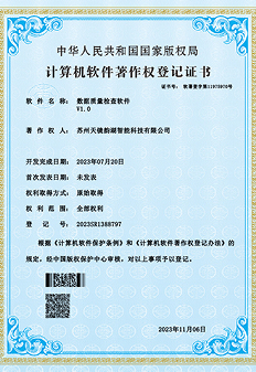
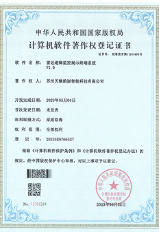
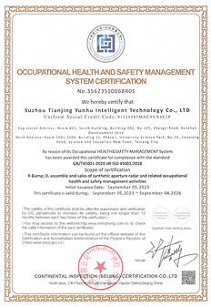
Qualifications, Honors, and Intellectual Property