


 Home
HomeService Advantages
1、 Flight site and airspace
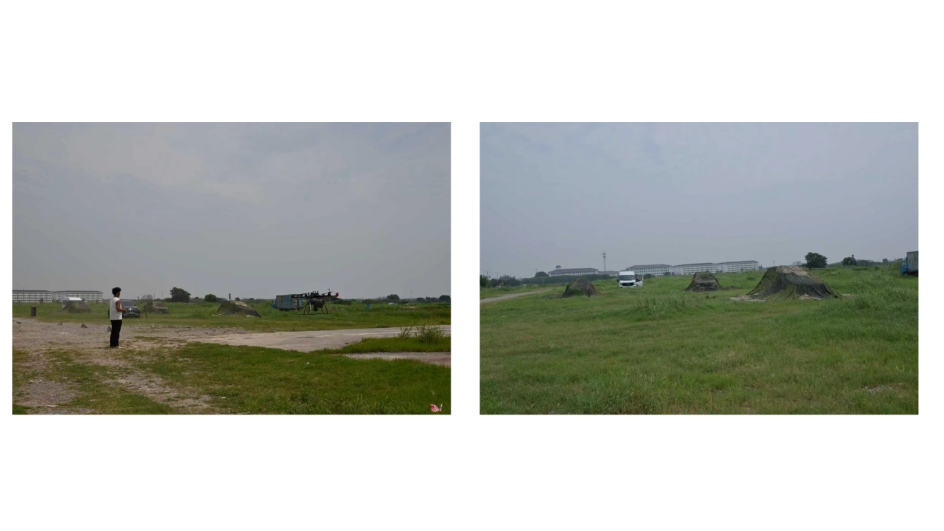
(1) Flight site:The base is located in the core area of Zhouzhuang, Kunshan, with a flight test site spanning over 40 square kilometers. The surrounding area features rich and diverse natural and cultural landscapes, encompassing road networks, open lawns, lake systems, farmland and woodlands, residential building clusters, and hilly terrain. It faithfully replicates real-world scenarios for national defense reconnaissance, geological deformation monitoring, natural resource surveying and mapping, river and lake embankment inspections, and remote sensing applications.
(2) Flight airspace:Having a flight airspace approval with a height limit of 300 meters, unlimited experimental flights can be conducted within the designated flight airspace.
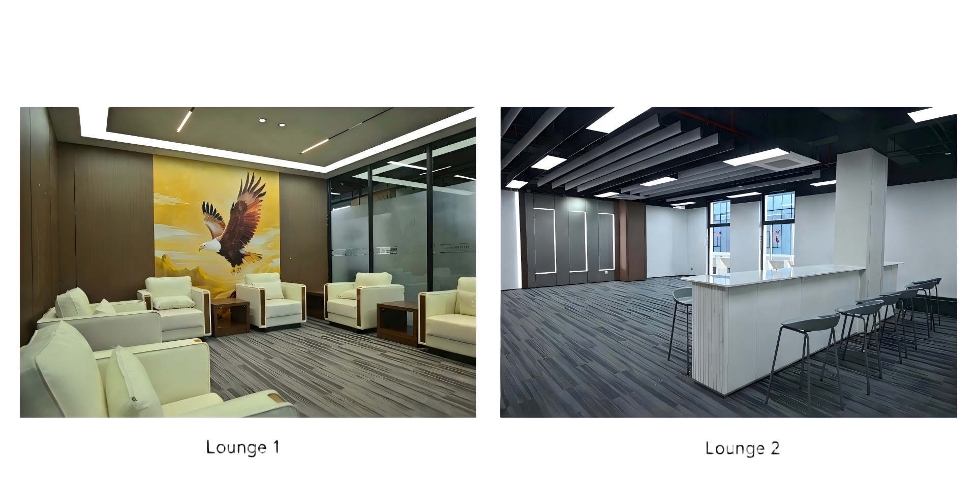
2、 Office space
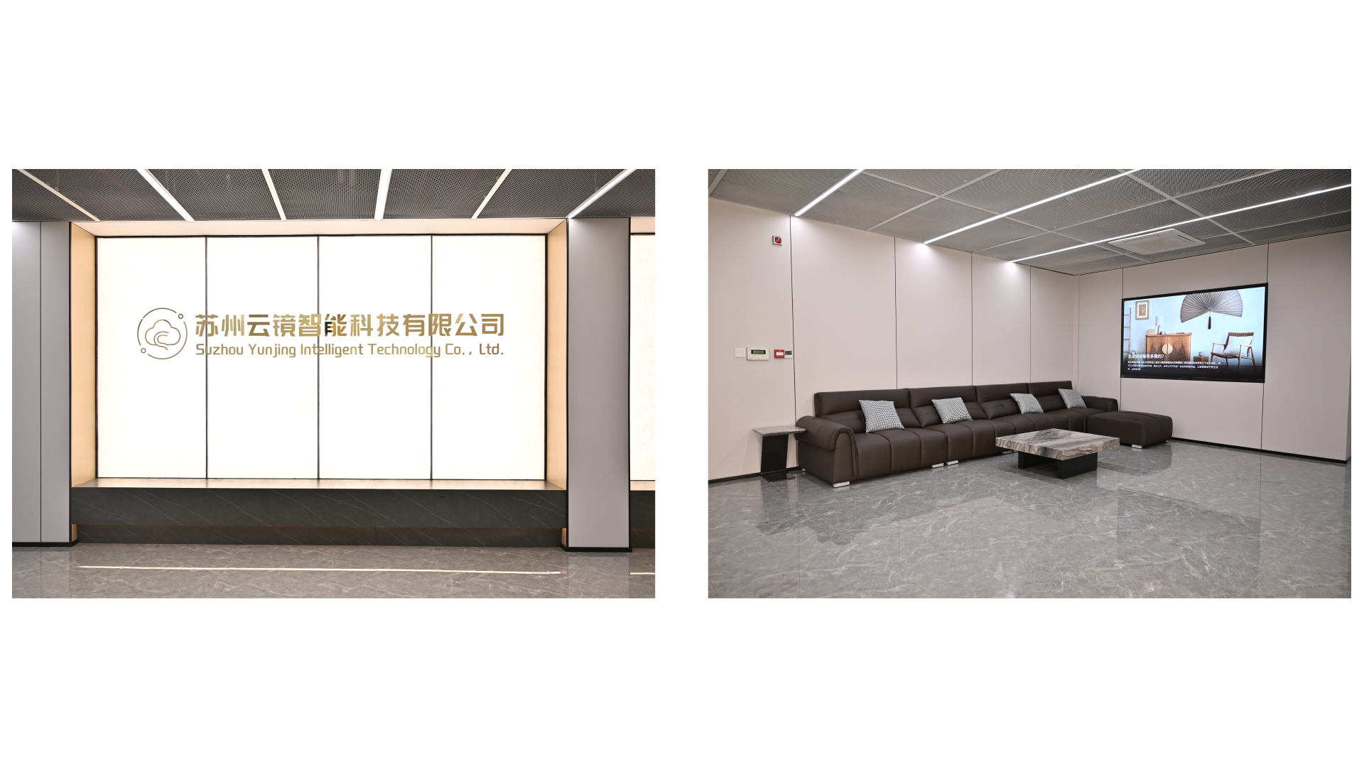
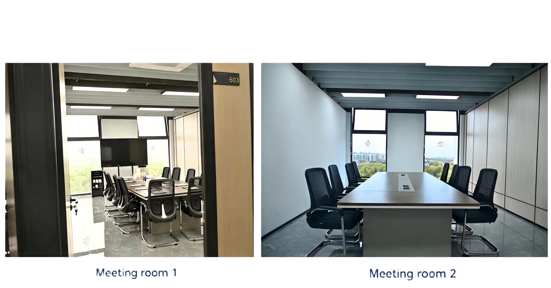
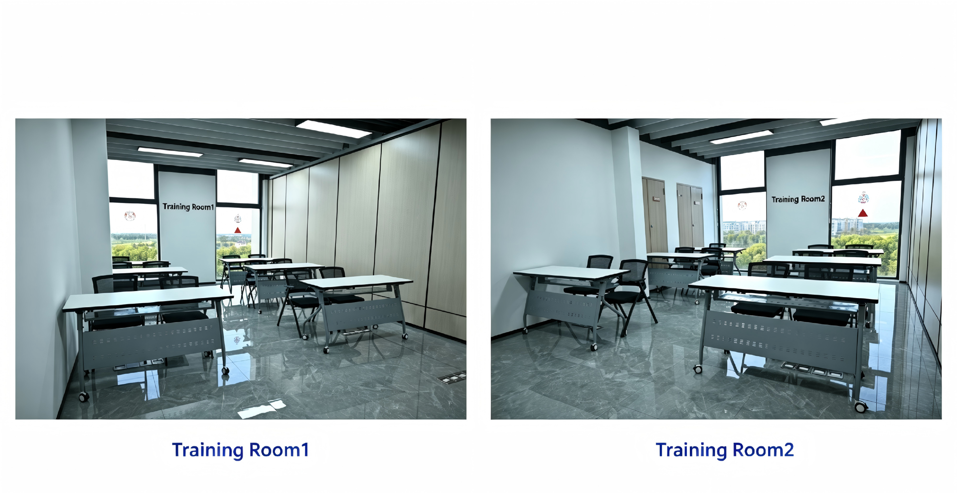
The company is simultaneously improving its industrial support and customer service systems. Suzhou Yunjing Intelligent Technology Co., Ltd. (hereinafter referred to as "Yunjing"), a subsidiary of Tianjing Yunhu, focuses on data services as its core business. Located in the Zhouzhuang Binhu Low-Carbon Production Park, it has a dedicated customer delivery center of over 1,300 square meters, serving as a core supporting facility for the base. The delivery center boasts a comprehensive layout, including standardized training classrooms, multi-functional business conference rooms, dedicated rest areas, and data processing rooms. It can comprehensively meet diverse needs such as customer technical collaboration, product delivery and acceptance, industry-academia-research training, industry technical exchanges, and specialized skills training. It streamlines the entire process from "real-world testing + theoretical teaching + implementation delivery," providing partners with professional, comprehensive, and integrated technical services and industry-academia-research training solutions, helping upstream and downstream enterprises and research institutions efficiently implement technologies and cultivate talent.
3、 All in one radar system
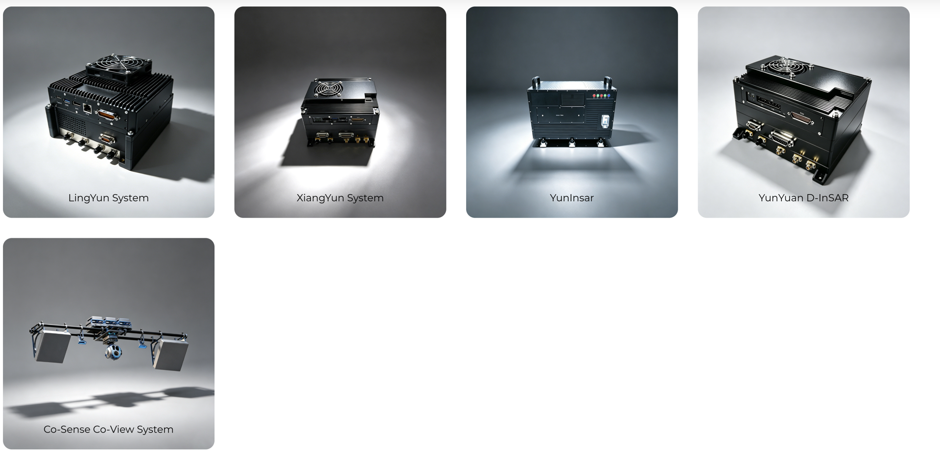
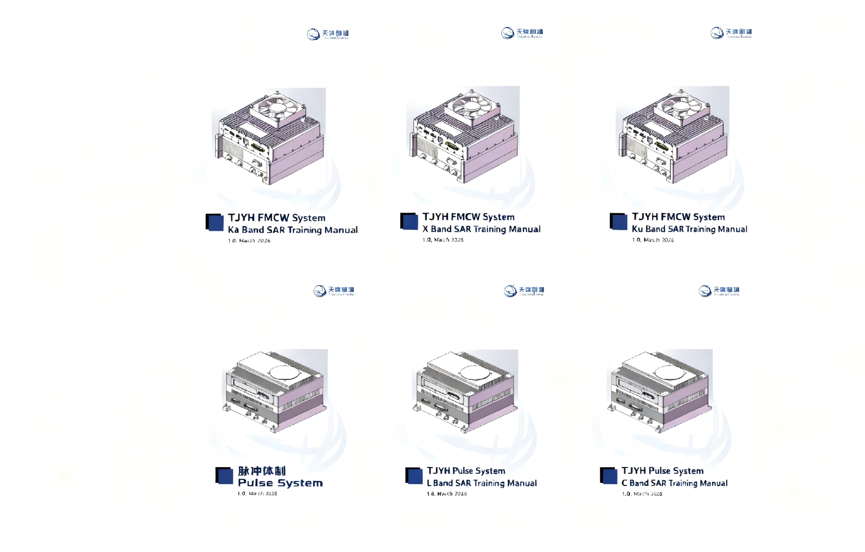
Whole system radar adaptation test:The base fully adapts to the two core product lines of Lingyun series frequency modulated continuous wave SAR and Xiangyun series pulse system SAR independently developed by Tianjing Yunhu, covering multiple bands such as X, Ku, C, L, and supporting multiple working modes such as single polarization/full polarization, stripmap/spotlight, interference, etc. It can complete multi-dimensional testing of radar performance, environmental adaptability, stability, etc.
4、 Aircraft platform
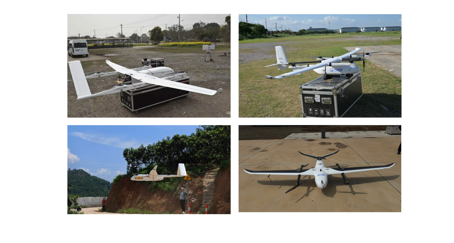
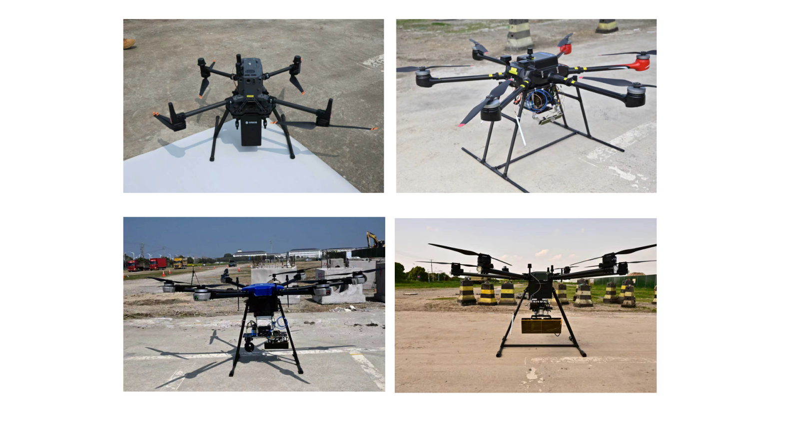
Full platform flight:Suitable for full spectrum flight platforms such as multi rotor unmanned aerial vehicles, suspended fixed wing unmanned aerial vehicles, and manned aerial vehicles, integrated flight tests have been completed for multiple mainstream platforms such as DJI M350 and CW-40. It can conduct flight tests in different scenarios such as low altitude close range fine imaging and mid to high altitude wide area coverage, verifying the SAR system's all-weather and all-weather operational capabilities under complex weather and terrain conditions.
5、 Professional flying team
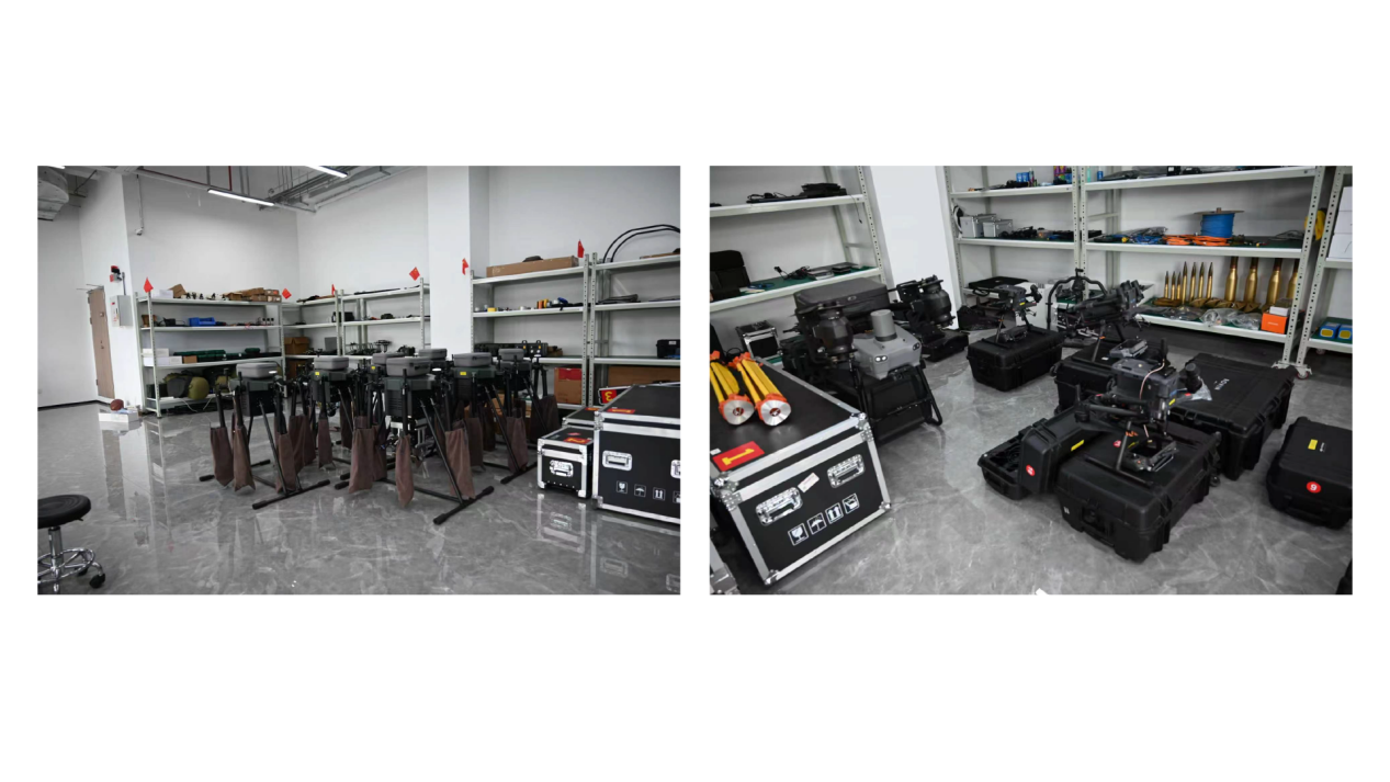
(1) Special vehicle for project implementation:Our company is equipped with multiple specialized vehicles for project implementation, which are used for safe transportation of drones, various sensor payloads, backup batteries, ground control stations, and operators. They support rapid transition and on-site emergency support, ensuring timely deployment and efficient execution of projects under different terrain and distance conditions.
(2) High precision data processing verification:Equipped with a professional SAR data processing center, equipped with independently developed high-precision imaging algorithms and deformation analysis software, it can process the raw data obtained from flight tests in real time, generate high-resolution SAR images, millimeter level deformation monitoring reports and other products, providing precise data support for technology optimization and application landing.
(3) Professional flying team:Based on the diverse terrain environment of the base, multiple simulation application scenarios such as national defense camouflage assessment, mine deformation monitoring, river embankment inspection, forest fire warning, etc. will be built to carry out practical deduction and testing, verify the application effectiveness of SAR systems in different industry scenarios, and accelerate the transformation of technological achievements into industry solutions.


