


 Home
HomeService Business
1. Airborne SAR data flight service
Airborne SAR (Synthetic Aperture Radar) flight service is a service that utilizes synthetic aperture radar technology for airborne data acquisition. This technology achieves high resolution on the ground through aircraft carrying SAR equipment, providing accurate and efficient data support for fields such as agriculture, environment, disaster monitoring, and military.
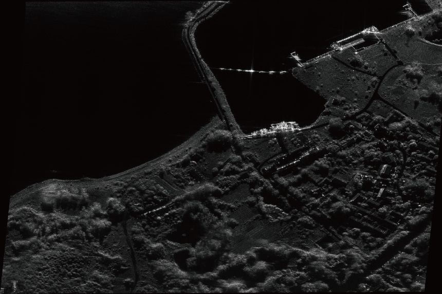
The services we provide:
1. Rental of multi band SAR equipment with frequency-modulated continuous wave or pulsed wave systems
2. Rental of equipment such as multi-rotor UAVs, fixed-wing UAVs, manned aerial vehicles, vehicles, etc
3. Technical support for radar operators/UAV operators/data processors
4. Target leasing
5. Flight site/airspace support within 300m
2. Optical Data Flight Service
It is achieved by using an aircraft equipped with optical sensors (such as cameras) to obtain image data in the visible light band. By utilizing natural light imaging and relying on lighting conditions, high-resolution two-dimensional images can be generated. Mainly used in fields such as mapping, urban planning, agricultural monitoring (crop growth), environmental assessment (vegetation coverage), disaster assessment (disaster scope), etc.
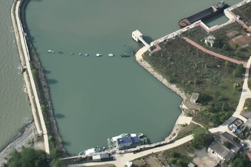
The services we provide:
1. Rental of medium wave refrigeration infrared and long wave infrared equipment
2. Rental of equipment such as multi-rotor UAVs, fixed-wing UAVs, manned aerial vehicles, vehicles, etc
3. Technical support for radar operators/UAV operators/data processors
4. Target leasing
5. Flight site/airspace support within 300m
3. Infrared data flight service
A service that captures infrared radiation signals from objects and generates data through aircraft equipped with infrared sensors. It is not limited by light and can detect heat differences. It is mainly used in night monitoring, power fault detection, forest fire prevention, building energy analysis, agricultural pest and disease monitoring and other fields
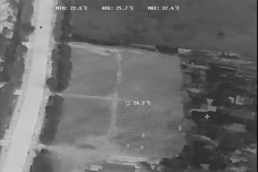
The services we provide:
1. Rental of medium wave refrigeration infrared and long wave infrared equipment
2. Rental of equipment such as multi-rotor UAVs, fixed-wing UAVs, manned aerial vehicles, vehicles, etc
3. Technical support for radar operators/UAV operators/data processors
4. Target leasing
5. Flight site/airspace support within 300m
4. Lidar data flight service
A service that uses a flight platform equipped with laser radar equipment to emit laser pulses and receive reflected signals, in order to obtain three-dimensional information of the target. Mainly used in high-precision terrain mapping, urban 3D modeling, forest resource investigation, power inspection, archaeological exploration and other fields
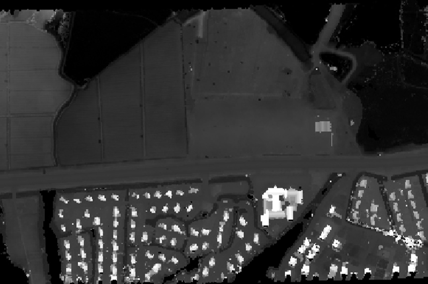
The services we provide:
1. Rental of LiDAR equipment
2. Rental of equipment such as multi-rotor UAVs, fixed-wing UAVs, manned aerial vehicles, vehicles, etc
3. Technical support for radar operators/UAV operators/data processors
4. Target leasing
5. Flight site/airspace support within 300m
5. Hyperspectral flight services
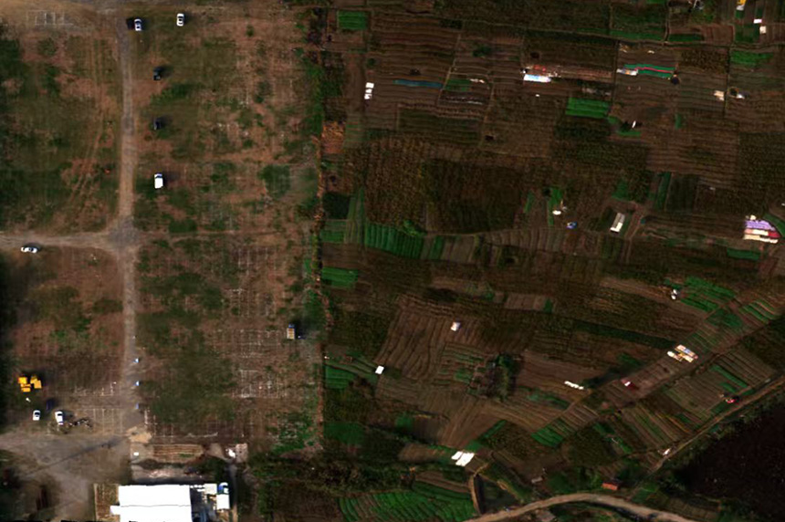
A service that captures the spectral information of objects in a continuous narrow band and generates fine spectral images by using aircraft equipped with hyperspectral sensors. Mainly used in agriculture (crop growth and pest monitoring), environment (pollution tracing), mineral exploration (identification of mineral components), forestry (vegetation classification and health assessment) and other fields.
The services we provide:
1. Rental of hyperspectral sensor equipment
2. Rental of equipment such as multi-rotor UAVs, fixed-wing UAVs, manned aerial vehicles, vehicles, etc
3. Technical support for radar operators/UAV operators/data processors
4. Target leasing
5. Flight site/airspace support within 300m
6. Co-scene co-view data flight service
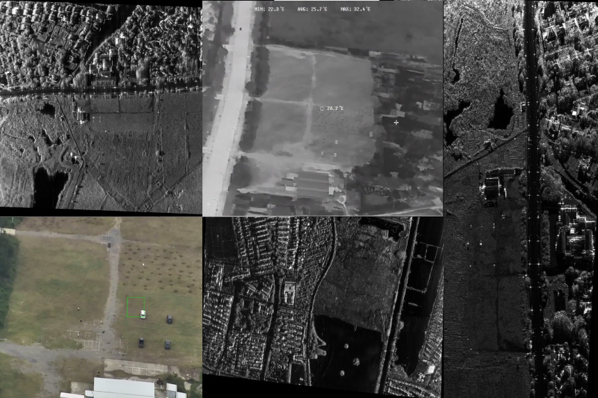
Adopting filtering to achieve electromagnetic compatibility design, ensuring that each band does not interfere with each other. Upgrade and transform the interface of the radar host, achieve unified timing of radar data through cascading, transform the control machine of the upper position and ground terminal of the radar, and realize integrated monitoring of multi band equipment. Mainly used in forestry investigation, camouflage assessment, disaster monitoring, power inspection, university research and other industries.
The services we provide:
1. Rental of equipment for multi band fusion, visible light, infrared, hyperspectral, etc
2. Rental of equipment such as multi-rotor UAVs, fixed-wing UAVs, manned aerial vehicles, vehicles, etc
3. Technical support for radar operators/UAV operators/data processors
4. Target leasing
5. Flight site/airspace support within 300m


