

 Home
HomeMarine Application
1、 The strategic value and monitoring challenges of maritime monitoring
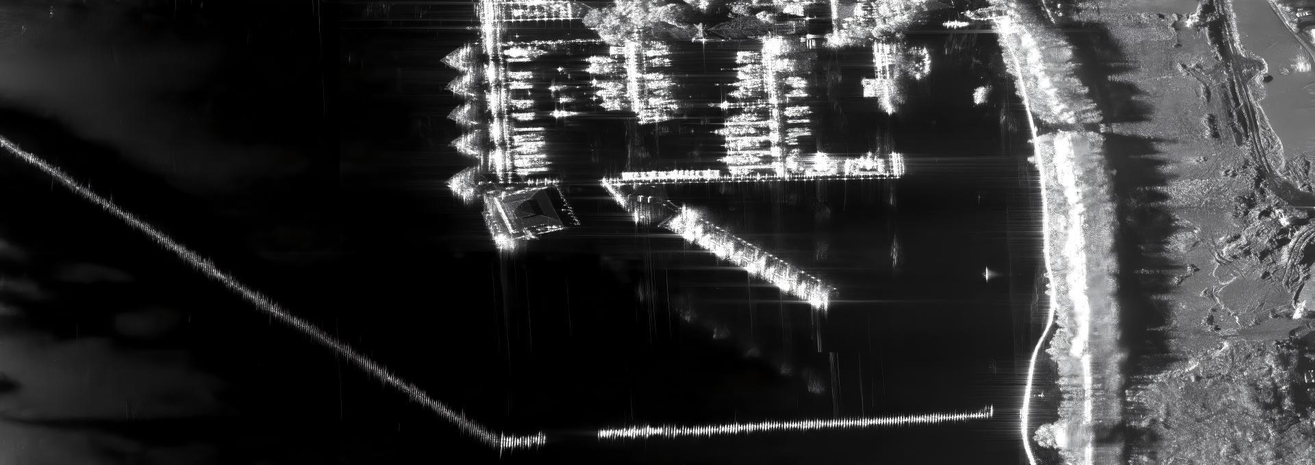
The global port system has formed a hierarchical network of "hub branch lines". Taking the Yangtze River Delta port cluster in China as an example, it connects the inland hinterland through the Yangtze River Economic Belt and contributes 35% of the country's foreign trade import and export volume by 2024. Ports are not only logistics nodes, but also engines of regional economic development. For every 1 million TEUs increase in throughput at Shanghai Port, it can drive the creation of over 8000 job opportunities in surrounding areas.
The traditional optical monitoring means are limited by weather and light conditions, and often fall into a "blind" state in typhoon, rainstorm or night scenes, which cannot meet the 24-hour monitoring needs of ports. Port operations face multiple monitoring challenges: firstly, the constraints of complex meteorological conditions, with an average of 12 typhoons passing through the South China Sea each year, resulting in the complete failure of optical satellites during disaster periods; Secondly, it is difficult to distinguish dense targets. On average, more than 30 container ships are anchored at the Yantian Port in Shenzhen, and traditional monitoring is prone to ship counting deviations; The third is the response timeliness of emergency events. In 2024, in an oil tanker leakage accident in the the Pearl River Estuary, optical monitoring delayed for 4 hours due to cloud cover before finding the oil spill, causing 20 square kilometers of sea pollution.
In response to the three pain points mentioned above - optical 'blindness' caused by complex weather, difficulty in distinguishing high-density targets, and insufficient emergency response time - synthetic aperture radar (SAR) technology provides corresponding solutions with its unique advantages of all-weather, all day, and high-resolution: its microwave imaging is not affected by clouds, rain, and day and night, and can penetrate typhoons for continuous monitoring; Sub meter resolution can distinguish more than 30 ships in the dock one by one; Minute level data feedback can compress the time of oil spill detection from hour level to minute level. SAR technology can become the core technical support in the field of maritime monitoring, reshaping port operation and management models in all aspects, from ship dynamic tracking to oil spill emergency response, from infrastructure security to logistics efficiency optimization.
2、 Application of SAR technology in maritime monitoring
The landing scenarios of SAR technology will be explained separately by monitoring objects (ships, water environment, infrastructure)
(1) Ship inspection:
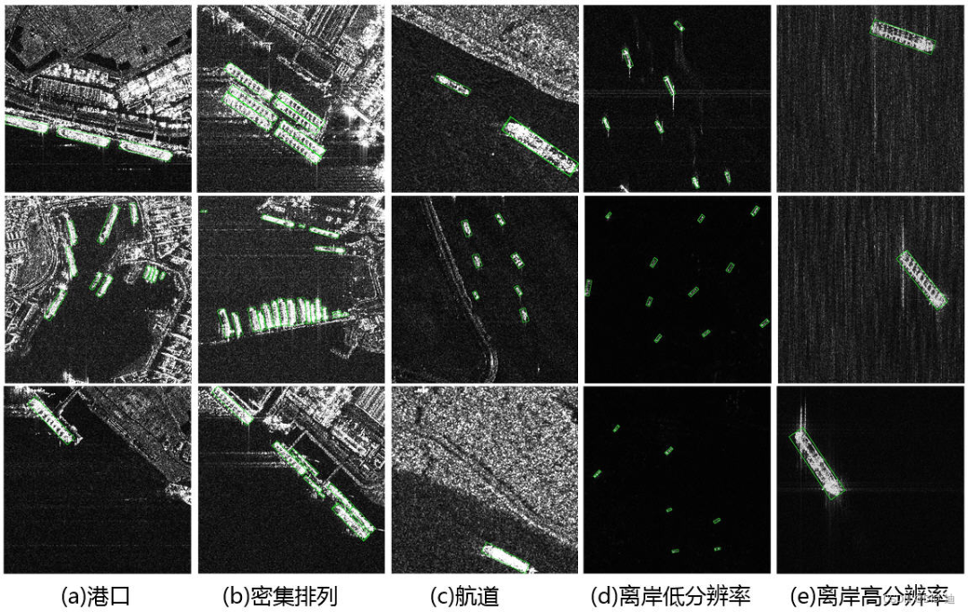
Ship detection and tracking:By utilizing the strong scattering difference between ships and the sea surface in SAR images, it is possible to efficiently and automatically detect and locate ships within ports and on the inbound and outbound channels. Through time series SAR image analysis, the ship's trajectory can be plotted to monitor whether it is following the predetermined route and whether there are any abnormal behaviors such as wandering or drifting.
Ship size estimation:High resolution SAR images can estimate the length, width, and other dimensional information of ships, providing key data for ship identification assistance.
(2) Water environment monitoring:
Oil spill monitoring:The oil film will smooth the sea surface, suppress Bragg scattering, and present unique black dark spots on SAR images. SAR is one of the most effective tools for monitoring illegal discharge and accidental oil spills at sea, which can quickly determine the location, scope, and diffusion trend of oil spills.
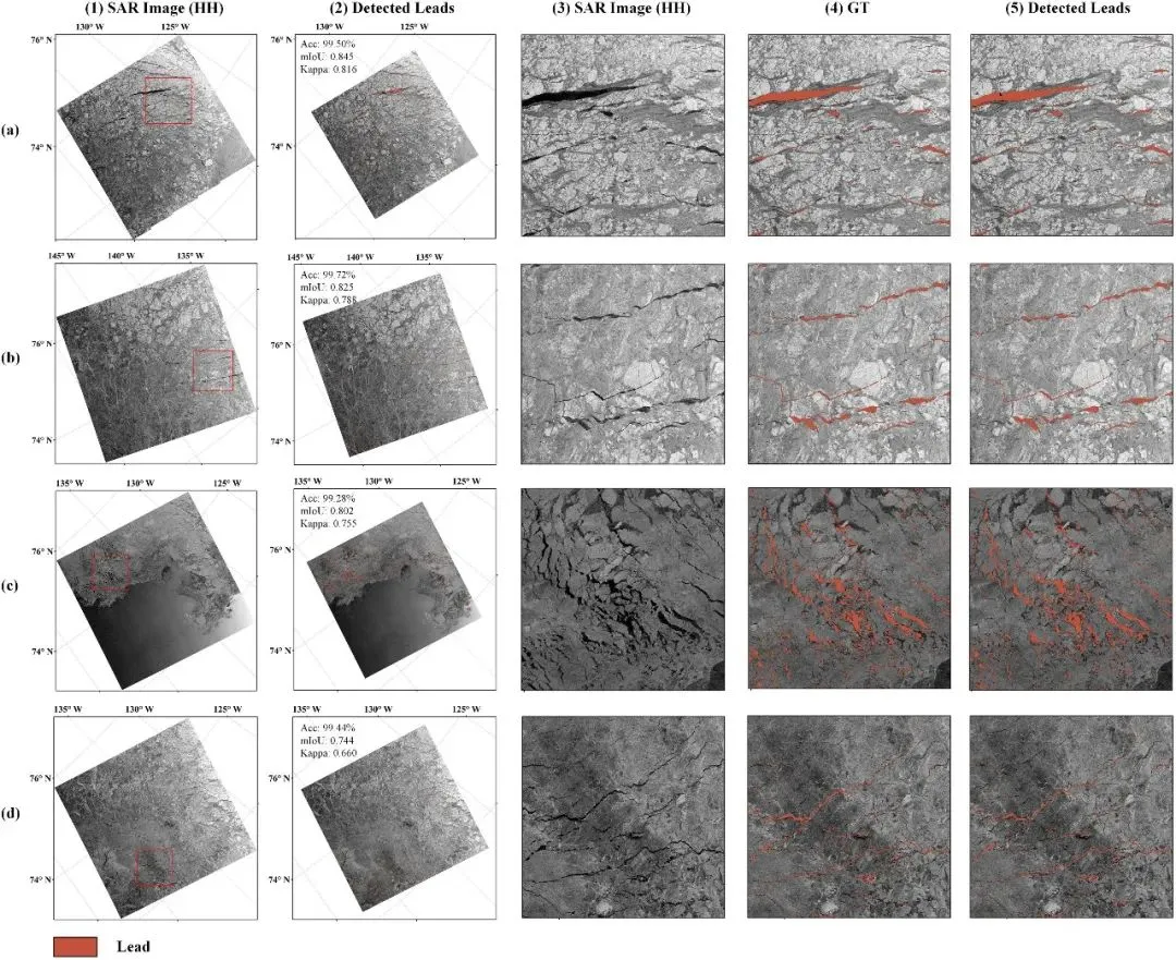
Iceberg and floating ice monitoring:At high latitude ports, SAR can be used to monitor the movement of icebergs and floating ice, providing safety warnings for ship navigation.
(3) Infrastructure and logistics monitoring
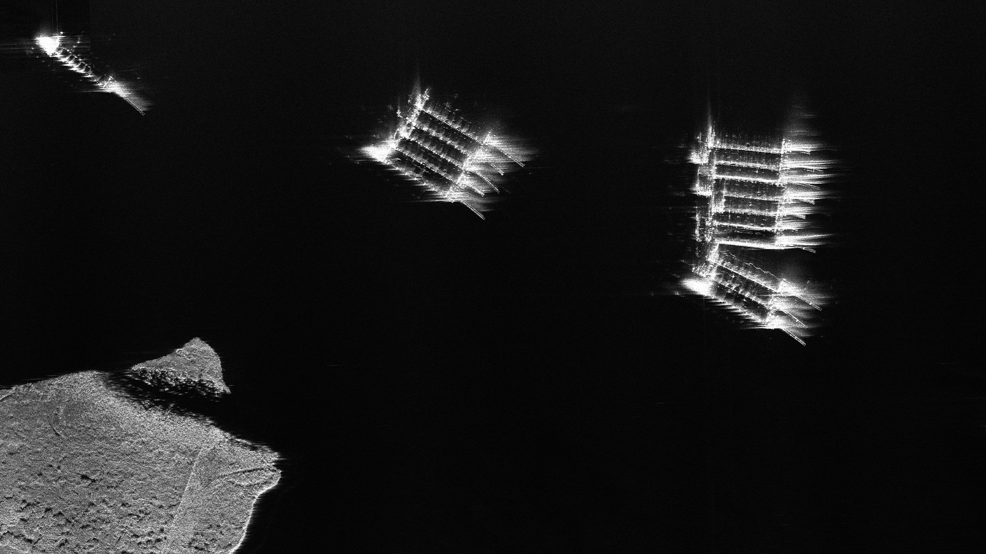
Surface deformation monitoring:By utilizing differential interferometric SAR (D-InSAR) and its more advanced technologies such as PS InSAR and SBAS, millimeter level precision surface deformation monitoring can be performed on key infrastructure such as docks, breakwaters, warehouses, and gantry crane tracks. This can effectively warn of potential risks such as ground subsidence and displacement, ensure operational safety, and guide preventive maintenance.
Stability analysis of buildings:In addition to linear engineering such as docks and tracks, tall or heavily loaded buildings within ports also face the risk of uneven settlement and require stability assessments to ensure safety.
3、 Typical application cases and practical effects
China the Pearl River Estuary Oil Spill Emergency Monitoring (2024)
In March 2024, an oil tanker collided with a container ship near Dangan Island, the Pearl River Estuary, resulting in about 50 tons of crude oil leakage. After the accident, the emergency command center immediately activated the SAR monitoring plan.
Throughout the entire emergency process, SAR technology provided full process support for "accident discovery oil identification diffusion prediction disposal guidance", reducing emergency response time by 60% compared to traditional monitoring methods. Ultimately, pollution was controlled within 8 square kilometers, reducing economic losses by approximately 30 million yuan.
The the Pearl River Estuary oil spill case is just a microcosm of SAR enabled ports. With the accumulation of data and algorithm iteration, SAR applications are moving from 'post monitoring' to 'pre warning' and 'intelligent decision-making'.
Similarly, our company's micro SAR technology products have also undergone imaging processing for offshore oil spill incidents, contributing to their pollution control.
4、 Conclusion: SAR technology creates the future direction of maritime intelligence
The current application of SAR at sea mainly focuses on "monitoring", while the future direction is to evolve towards an intelligent system of "perception, understanding, prediction, and decision-making". Its core is SAR data+AI artificial intelligence+multi-source data fusion. SAR technology, with its unique technological advantages, is profoundly changing the paradigm of maritime monitoring and fundamentally solving many limitations of traditional monitoring methods. Deep integration of SAR technology with 5G, IoT, blockchain and other technologies to build a cross domain collaborative system: Real time transmission of SAR monitoring data is achieved through 5G networks, combined with dock operation data collected by IoT devices, to achieve integrated monitoring of "air, space and earth"; Using blockchain technology to ensure the authenticity and immutability of SAR data, providing credible evidence for port trade and insurance claims. In the future, SAR monitoring data will become an important production factor for the maritime digital economy, promoting the transformation of the maritime industry towards "intelligence, greenness, and internationalization".


