

 Home
HomeAgricultural/Forestry Application
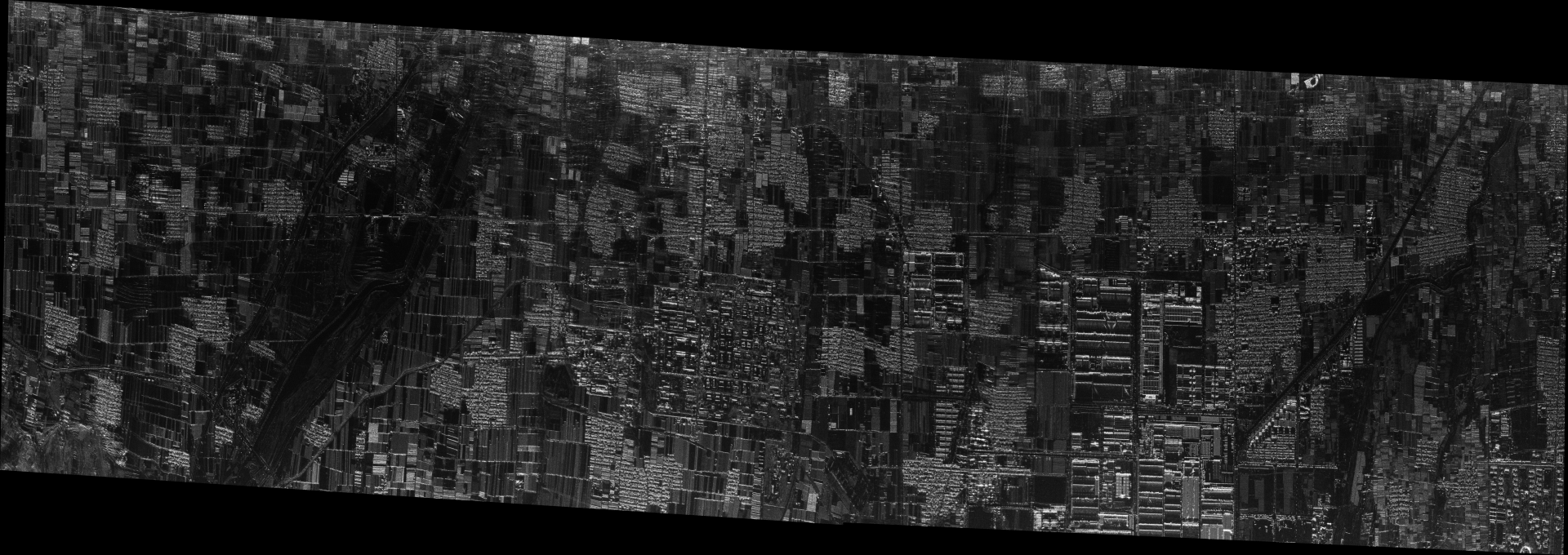
Timely and accurate monitoring of crop growth and forest resource status is a prerequisite for achieving precise management and sustainable development in the vast agricultural and forestry ecosystem. However, traditional optical remote sensing methods have long been trapped in observation blind spots such as clouds, haze, and nighttime, making it difficult to obtain complete and reliable data during key phenological periods in agriculture and forestry. Airborne synthetic aperture radar (SAR) is fundamentally changing this situation with its unique advantages of all-weather, all-weather, high-resolution, and penetrability. It can penetrate the vegetation canopy to obtain information under the forest, can clearly image in rainstorm and fog, and can also perceive the subtle differences of crop structure through polarization, becoming an irreplaceable "all-weather guard" in smart agroforestry management. From precise planting planning, to dynamic tracking of crop growth, from precise measurement of forest resources, to early detection and disposal of pests, diseases, and fires, airborne SAR is deeply integrated into the entire chain of agricultural and forestry management, providing core technical support for ensuring food security and maintaining ecological balance.
1、 Agricultural applications of airborne SAR
In the field of agriculture, the application of airborne SAR runs through the entire cycle of planting planning, field management, yield estimation, and disaster response.
Accurate planting planning and soil moisture monitoring. Scientific planting planning is the foundation of a bountiful harvest. Airborne SAR can penetrate shallow soil and vegetation cover layers, accurately distinguish cultivated land types and determine soil texture by combining multipolar data, and invert soil moisture through improved water cloud models and other technologies to obtain key parameters such as soil moisture content. The measured data shows that the relevant data fitting degree R ² can reach 0.767, which can accurately reflect the true soil moisture status. Based on these detailed data, agricultural managers can have a clear understanding of the suitable planting attributes of different plots and develop differentiated planting plans: planning water demanding crops such as rice and corn in areas with sufficient soil moisture, and arranging economic crops such as fruits and vegetables in fertile plots. The joint observation experiment of airborne multi frequency SAR in the Liaohe River Basin of China further shows that using multi frequency (Ka, X, C, S, L bands) and fully polarized data, it is possible to achieve layered estimation of soil moisture at depths of 0-50 cm, and the root mean square error of surface soil moisture estimation can be controlled between 0.058-0.079 cm ³/cm ³. When multi-source data is coupled and used, the inversion accuracy can be further improved, providing scientific basis for precision irrigation, variable fertilization, and regional agricultural water conservation.
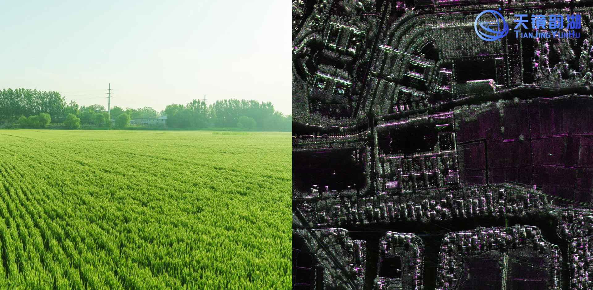
Dynamic monitoring and classification recognition of crop growth. The vegetation coverage and plant structure of crops at different growth stages can alter the backscatter signal characteristics of radar waves. By analyzing the scattering coefficients of different polarization modes such as VV and HH, as well as derived parameters such as polarization difference and polarization ratio, airborne SAR can accurately invert normalized vegetation index, and thus determine key growth indicators such as chlorophyll content and biomass of crops. Unlike optical remote sensing, which can only obtain surface information, microwave energy is particularly sensitive to the macroscopic structural properties of crops, including the size, shape, and direction of leaves and stems, providing a unique information dimension for crop classification and recognition. The advantages of multi band collaborative application are particularly prominent: the backscattering coefficient of high-frequency band is highly correlated with the weight of rice panicles, the correlation between low-frequency band and fresh biomass is better, and the correlation between C-band and leaf area index is better. Based on time series analysis of multi temporal data, combined with intelligent algorithms such as machine learning, the system can automatically distinguish crop types, evaluate the quality of growth, and lay the foundation for yield prediction.
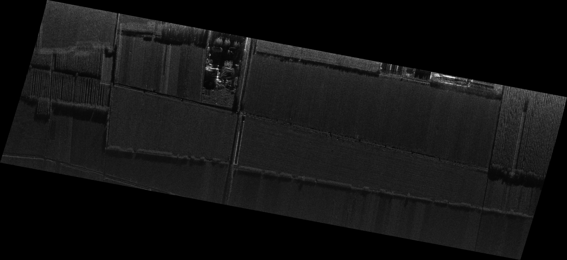
Accurate production estimation and timely disaster warning.Airborne SAR accumulates dynamic data throughout the entire growth cycle, integrates growth data from different growth stages, combines historical yield, meteorological and other multidimensional information, and uses machine learning models to construct a high-precision yield prediction system. In winter wheat planting areas, by continuously monitoring growth parameters during key growth stages such as jointing and grain filling, the final yield can be accurately predicted with a low error rate. At the same time, SAR has demonstrated strong emergency response capabilities in disaster monitoring. Taking wheat lodging as an example, normal wheat plants have a strong reflection of vertically polarized waves, while horizontally polarized signals are significantly enhanced after lodging. Based on this, lodging area identification can be achieved at a spatial resolution of 10 meters, and even in rainy weather, the monitoring accuracy still exceeds 90%. This rapid disaster assessment capability enables agricultural management departments to complete the extraction and statistics of disaster scope within 24 hours, providing solid data support for insurance loss assessment and rescue material allocation.

2、 Forestry application of airborne SAR
The application of airborne SAR in the forestry field is also extensive and in-depth, especially playing an irreplaceable role in forest resource investigation, biomass estimation, pest and disease monitoring, and forest disaster emergency response.
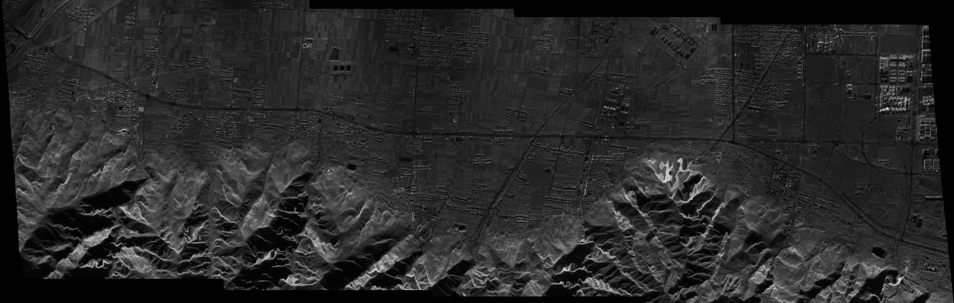
Forest resource survey and estimation of tree height and biomass. Forest aboveground biomass is a key parameter for measuring the carbon sequestration capacity of ecosystems and is also one of the core indicators for global climate change research. Based on technologies such as interferometric synthetic aperture radar (InSAR), polarimetric interferometric SAR (PolInSAR), and tomographic SAR (TomoSAR), airborne SAR can penetrate the canopy layer to obtain vertical structural information and achieve three-dimensional inversion of forest height. Multi band and multi polarization SAR data have shown good adaptability in different forest types: C-band SAR is suitable for monitoring tropical forests, L-band SAR is widely used in tropical, temperate, cold, and mixed forest areas, while P-band and PolInSAR technologies have advantages in complex tropical forests with deeper penetration capabilities. In the management of short rotation artificial forests, a multi-source collaborative model integrating SAR, multispectral, soil, and ground measurement data provides a more comprehensive and reliable technical means for estimating structural variables of eucalyptus isokinetic stands. The advancement of artificial intelligence and data fusion technology is significantly improving the accuracy and reliability of biomass estimation, providing a scientific data foundation for carbon sequestration measurement and forestry carbon trading.
Forest pest and disease monitoring. Climate change is exacerbating drought stress and promoting the spread of pest populations, making early detection and timely disposal of pests such as bark beetles particularly urgent. SAR monitors changes in tree moisture content through time-series analysis to evaluate tree vitality, capture abnormal signals before large-scale pest outbreaks, and support the development of early intervention strategies. The discoloration of standing trees caused by pine wilt disease is also a key research direction for fine monitoring of aerial remote sensing. Airborne SAR, with its high-frequency revisit and multi polarization information acquisition capabilities, can quickly locate abnormal areas in large forest areas, effectively compensating for the limitations of low efficiency and small coverage of traditional manual inspections.
Forest disaster monitoring and ecological protection. When a forest fire occurs, airborne SAR can penetrate thick smoke, real-time obtain key information such as the direction of fire spread and the boundary of the burning area, and combine terrain data to predict the development trend of the fire, providing support for fire departments to formulate firefighting strategies and allocate rescue forces. In terms of post disaster assessment, by comparing and analyzing SAR images before and after a fire, the burned area can be quickly calculated and ecological losses can be quantitatively evaluated. Airborne SAR also plays a role in forest logging regulation; Air surveillance; Important role: Based on multi polarization and multi temporal interferometric measurement technology, the airborne MiniSAR can accurately identify illegal logging sites and fire burned areas through the tree canopy, achieving all-weather imaging with a resolution of 0.3 meters. Combined with deep learning algorithms, it automatically extracts illegal logging boundaries and newly invaded areas, with a classification accuracy of over 90%. The system supports high-frequency revisits covering 50 square kilometers per flight once a day, and can generate forest disturbance heat maps and risk assessment reports within 30 minutes. The false alarm rate is less than 4%, which is 85% more efficient than traditional manual inspections and reduces operation and maintenance costs by 70%.
3、 Future prospects
Currently, airborne SAR technology is rapidly developing towards higher resolution, intelligence, and lightweight. In the field of agriculture, the collaborative application of multi band and fully polarized SAR technology continues to expand the boundaries of crop type identification. The lightweight SAR equipment carried by unmanned aerial vehicle platforms makes large-scale, high-frequency field inspections possible. In the forestry field, AI driven intelligent interpretation algorithms are greatly improving the automation level of biomass estimation and pest monitoring, while multi-source data fusion (SAR and optical LiDAR、 The complementary hyperspectral data further eliminates the information blind spots of a single sensor. With the deepening of agricultural modernization and ecological civilization construction in China, airborne SAR, as an all-weather and high-precision agricultural and forestry remote sensing tool, will play an increasingly important role in ensuring food security, safeguarding green mountains and rivers, and addressing climate change, becoming an indispensable core technical support in the construction of a smart agricultural and forestry system.


