Today's main focus is on the CW-25E VTOL fixed-wing UAV and the Tianjing Yunhu XiangYun System pulse MiniSAR.
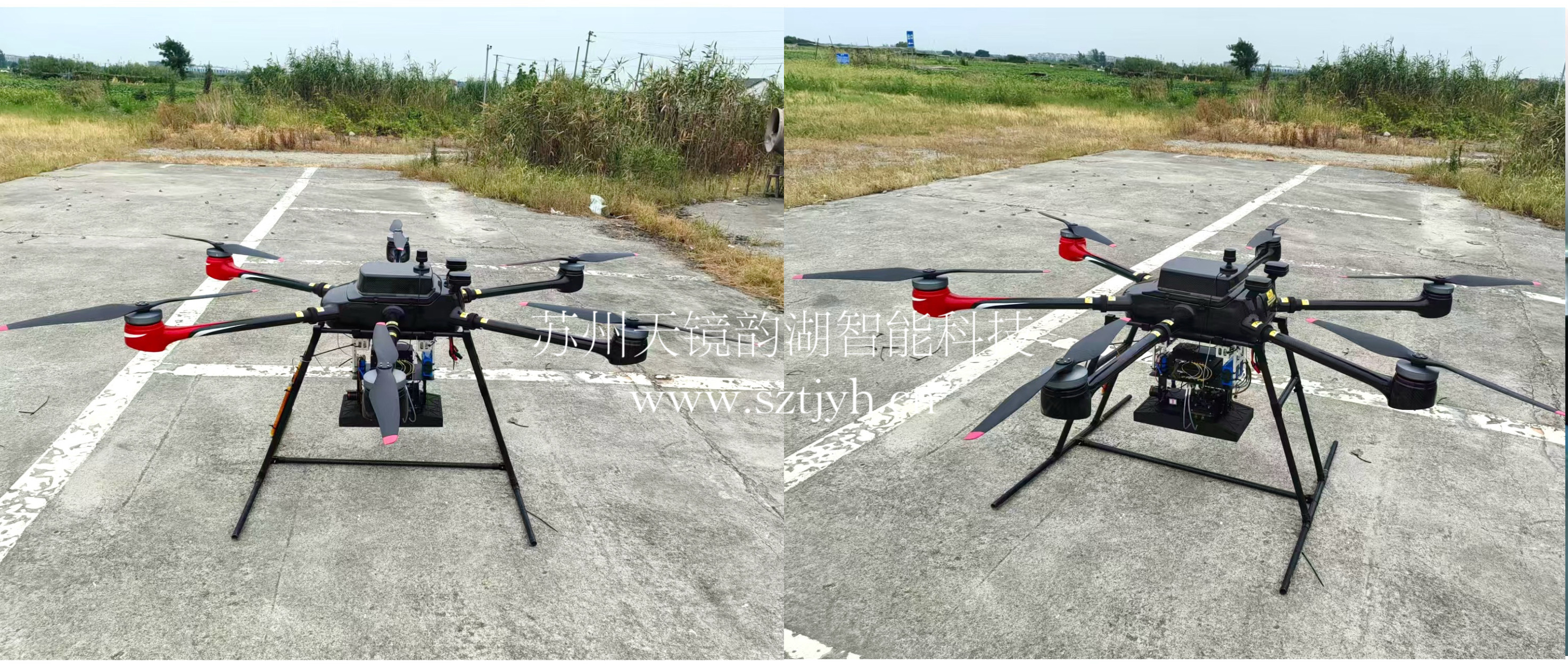
The CW-25E is a pure electric VTOL fixed-wing UAV designed specifically for large-area missions. It has a fuselage length of 2.08 meters, a wingspan of 4.35 meters, and features a twin-boom fused inverted V-tail design, resulting in a compact structure and excellent aerodynamic performance.
The CW-25E has a maximum takeoff weight of 31.58 kg and a payload capacity of 6.6 kg, capable of simultaneously carrying various mission equipment such as SAR, lidar, and electro-optical pods. It boasts a maximum endurance of 150 to 240 minutes, a service ceiling of 6000 meters, a maximum takeoff altitude of 4000 meters, and wind resistance up to level 7. It can stably perform patrol missions in complex terrain and high-altitude areas.
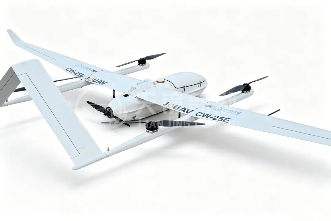
CW-25E UAV
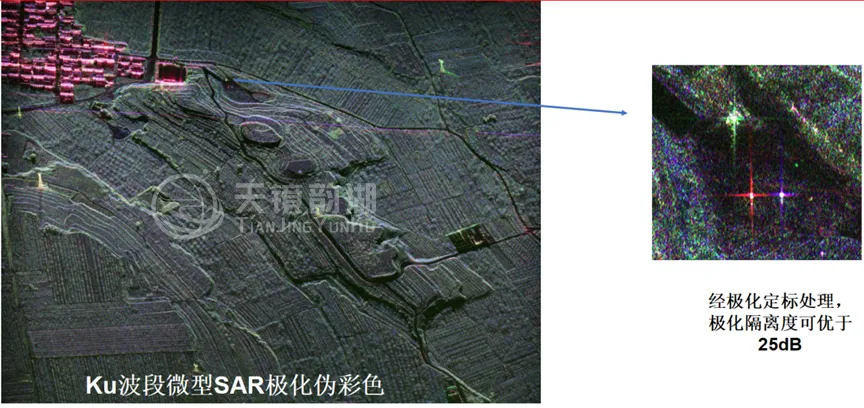
The CW-25E is equipped with Tianjing Yunhu's self-developed XiangYun System pulse-based MiniSAR. This is a miniature synthetic aperture radar specifically designed for lightweight unmanned aerial vehicle (UAV) platforms. It is small in size and lightweight, yet possesses powerful imaging capabilities—with a maximum resolution better than 0.1m.
It offers the following advantages:
1. Full-band coverage, adaptable to different application scenarios
It features multiple bands including X, Ku, Ka, W, C, L, and P. The L and P bands have strong vegetation and soil penetration capabilities, enabling the acquisition of structural information beneath the surface and vegetation layers.
2. Ultra-long endurance, wide-area coverage in one go
The fixed-wing UAV's several-hour endurance allows a single sortie to collect data over areas of hundreds or even thousands of square kilometers, significantly reducing takeoff and landing frequency and increasing the efficiency of large-scale remote sensing operations.
3. Wide-swath imaging, diverse application scenarios
In strip mode, the imaging swath width can reach 5 kilometers, scanning an entire area in one go, making it particularly suitable for high-frequency scenarios such as forestry protection, agricultural assessment, and coastal management.
4. Multi-source fusion, multiple imaging in one flight
The system can simultaneously carry multiple sensors, including optical, infrared, and lidar sensors, enabling "multi-dimensional acquisition in a single flight," significantly improving the accuracy of ground feature classification and target identification.
5. Real-time imaging, intelligent processing, and efficient response
The system also features onboard real-time imaging capabilities, generating SAR images during flight. Operators can assess image quality on-site and adjust flight paths promptly, avoiding "ineffective flights."
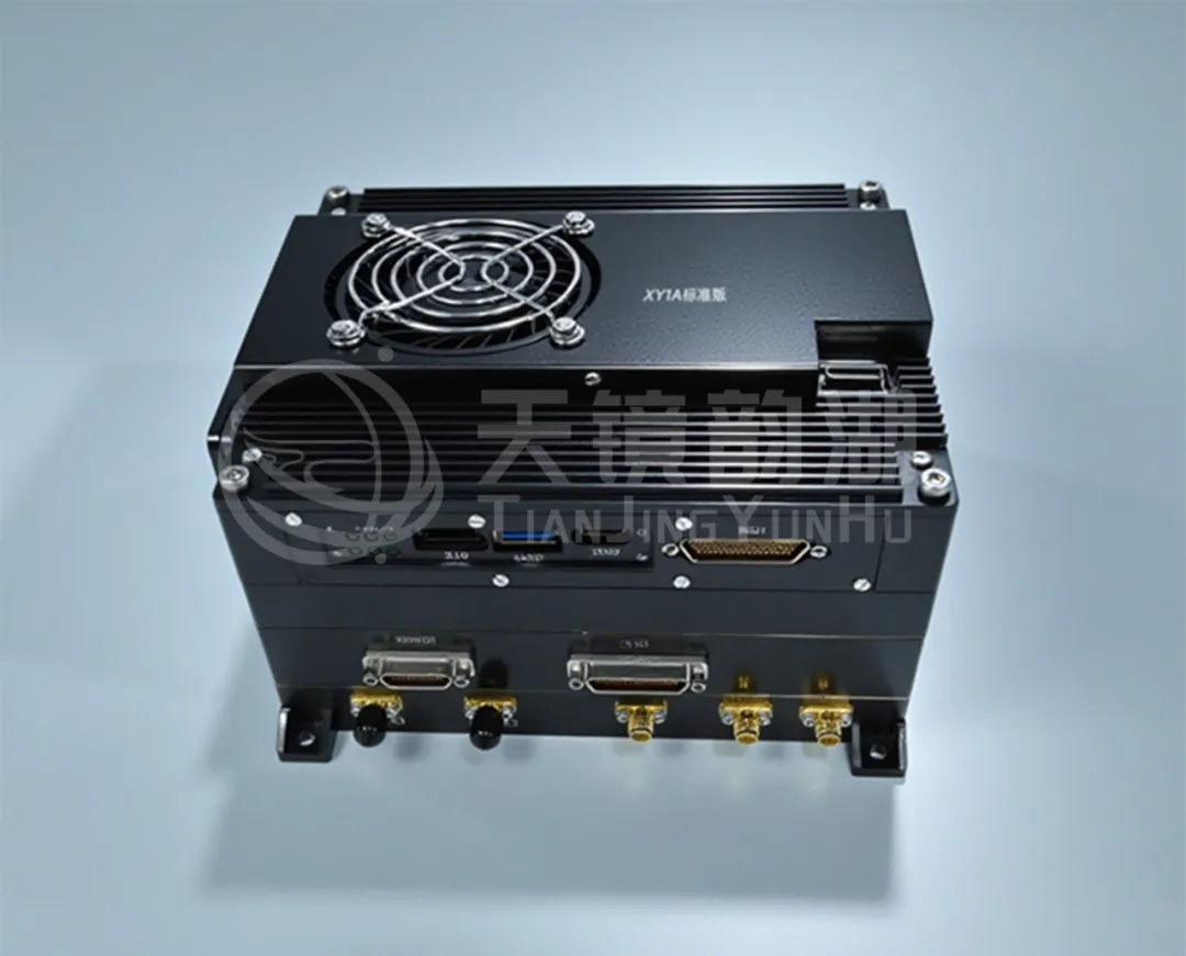
Pulse-based MiniSAR
The CW-25E features vertical takeoff and landing capabilities, requiring no dedicated runway and offering flexible deployment. Its 6.6 kg payload is sufficient to carry the lightweight MiniSAR system, and its long endurance of 150 to 240 minutes enables large-area, long-duration remote sensing operations. The Xiangyun MiniSAR, with its low SWaP advantage and powerful imaging capabilities, allows the combination of the two to achieve high-altitude, long-range, large-area, penetrating detection. Whether for topographic mapping, resource exploration, forest surveys, disaster assessment, or emergency reconnaissance, this combination provides stable and reliable aerial monitoring capabilities. Unaffected by clouds, rain, or fog, and unaffected by lighting conditions, it consistently outputs high-resolution radar imagery day and night!
CW25E飞行视频
Starting with the independent development of miniature SAR and progressing to deep integration with top domestic industrial drone platforms, Tianjing Yunhu is proving through repeated flights that domestically produced MiniSAR can not only fly, but also fly higher, see more clearly, and measure more accurately! (For more exciting videos, please follow our official Douyin account)