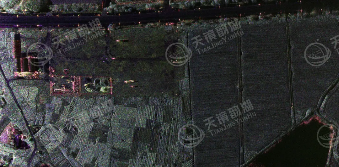
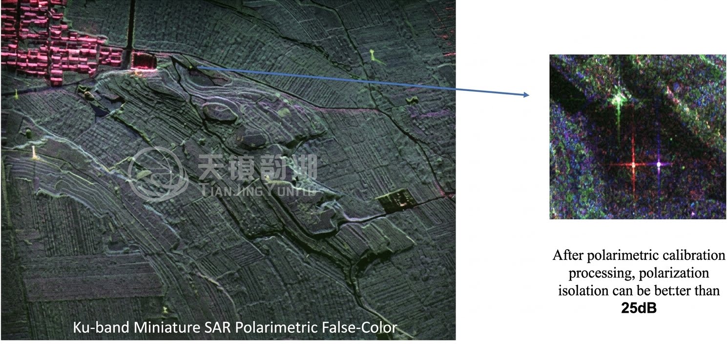
With the development of the power industry, the safety and stability of transmission towers are of paramount importance for power transmission. Currently, most methods such as manual line inspection, helicopter line inspection, and aerial digital photography line inspection are used to ensure the safety of transmission lines. However, many transmission towers are located in mountainous areas, and these methods have unavoidable drawbacks. Synthetic aperture radar, on the other hand, has advantages such as high monitoring accuracy, wide monitoring range, and all-weather operation, which can meet the needs of monitoring settlement and deformation of power facilities, transmission channels and infrastructure, as well as environmental monitoring of transmission lines.
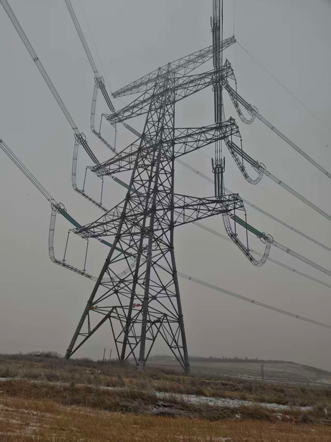
Flight test environment
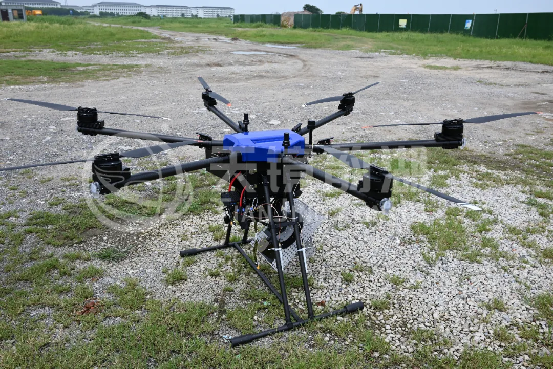
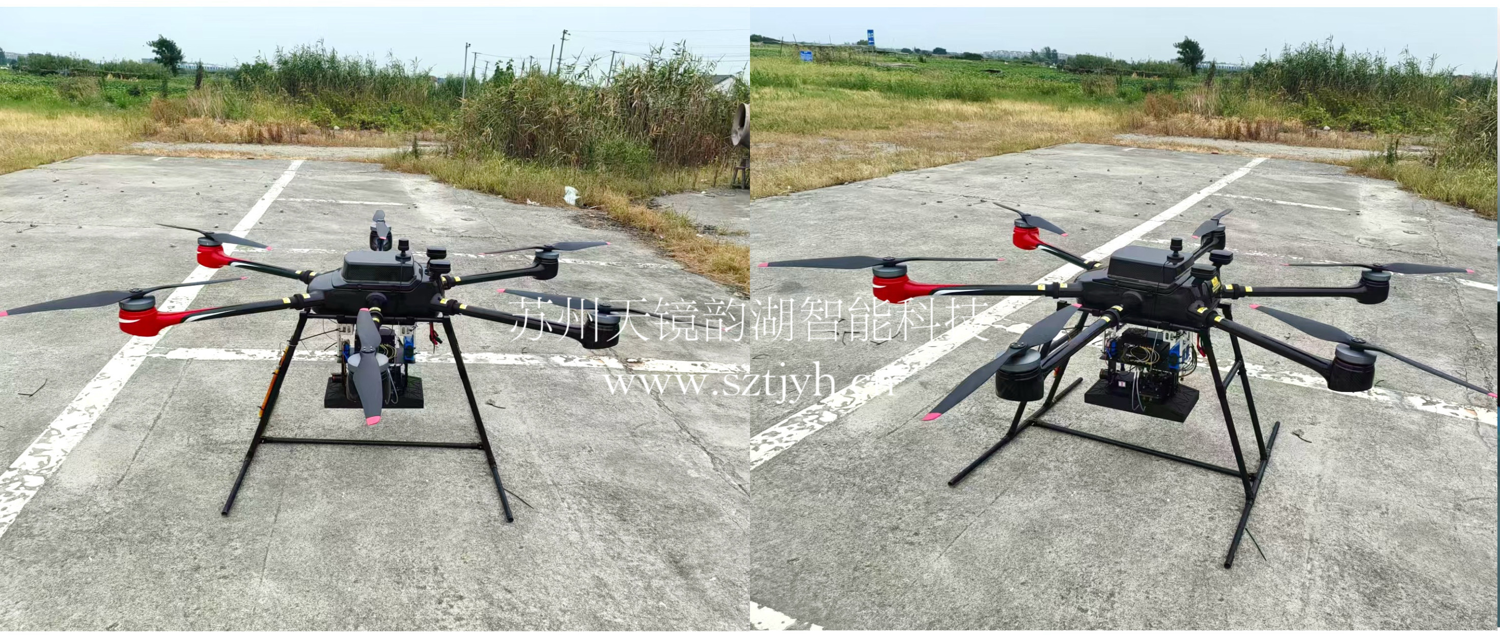
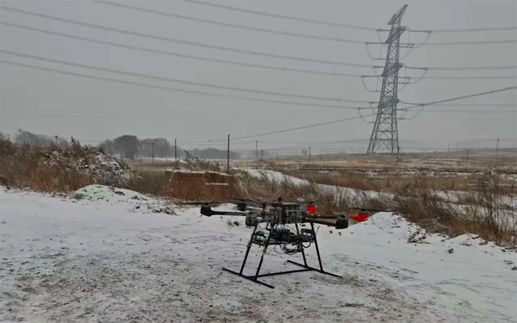
This technology is particularly suitable for situations in northern my country where winter snowfall is widespread and prolonged, making traditional power line inspection methods subject to weather and terrain conditions. To address this, Suzhou Tianjing Yunhu Intelligent Technology Co., Ltd. conducted flight experiments using two main drone platforms—the KWT X6L-15 multi-rotor drone equipped with Ku-band SAR and the DJI M400 equipped with X-band SAR—successfully carrying out airborne MiniSAR power line inspection operations in a snowy winter environment in a power transmission line area in Hebei Province. This resulted in high-precision scanning and screening of sag hazards on the power transmission line.
 |
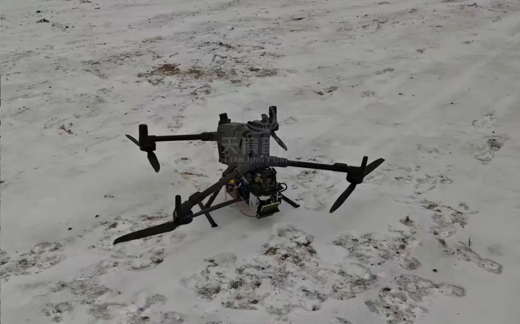 |
| KWT X6L equipped with Ku-band SAR | DJI M400 equipped with X-band SAR |
In practical applications, we can formulate periodic monitoring plans based on specific needs and actual conditions. For example, for important transmission towers or areas with complex terrain, the frequency and accuracy of monitoring can be enhanced; for general transmission towers or areas with relatively simple terrain, the frequency and accuracy of monitoring can be appropriately reduced. In this way, potential safety hazards and failure modes can be discovered, and corresponding measures can be taken in advance for manual intervention and processing.
Applying SAR technology to power inspection can achieve the following advantages:
1. Low cost, labor saving and high efficiency
In different application scenarios of power line tower equipment, the limitation of traditional technology is that regular manual operations require periodic data collection, which results in high labor and equipment costs. At the same time, manual measurements also have various errors and negative work problems. Comprehensive consideration, multi-polarization SAR radar data is used to monitor infrastructure such as vegetation and trees around transmission channels, transmission channels, and high-voltage transmission lines. Under the guidance of the power grid management unit, it can save manpower and material resources used for inspections of transmission channels, improve management efficiency, achieve full coverage of regional monitoring, and effectively ensure the safe operation of transmission lines.
2. Large-scale monitoring can be implemented
Traditional technologies for elevation measurement of power line tower equipment and three-dimensional modeling of buildings are expensive for modeling multiple substations over a large area. By comparison, SAR radar data-assisted optical or infrared data can directly complete data collection for multiple power line tower equipment in a large area, with high efficiency and low cost.
3. No need to arrange sensor equipment on the surface
The limitation of traditional technology in settlement monitoring of various infrastructures such as transmission channels, substations, and high-voltage power towers is that a large number of sensors need to be deployed. The communication and power supply of the sensors require high labor maintenance costs. At the same time, the sensors have the disadvantage of short service life and high maintenance costs in the later period. Using SAR radar technology for monitoring, periodic large-scale monitoring can be completed without the need for sensor equipment on the surface.
 |
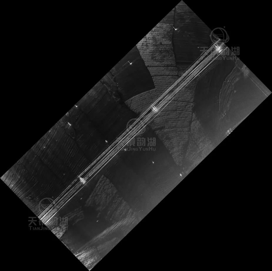 |
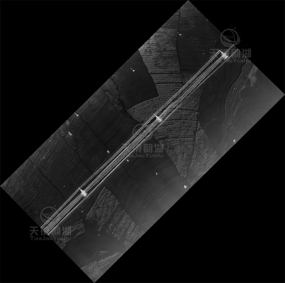
| X-band flight results | Ku-band flight results |
The above are the flight test results obtained in snowy conditions in a power transmission line area in Hebei Province. The images show excellent data quality, verifying the reliability and practicality of this technology in extreme weather conditions. Both Ku-band SAR and X-band SAR operated stably in snowy and low-temperature environments, and the acquired radar image clarity met expectations.
The power line inspection flight test in snowy conditions in Hebei Province was successfully completed. The test personnel successfully obtained power line sag results through calculation and analysis, further verifying the irreplaceable value of airborne SAR technology in extreme weather conditions. Based on high-resolution SAR images, it is possible to accurately identify changes in power line morphology (such as sag offset, broken strands), tower structural characteristics (tower base settlement, tower tilt), and intrusion of surrounding foreign objects (such as construction machinery, hanging objects), providing high-precision all-weather monitoring data for the safe operation and maintenance of power transmission lines.
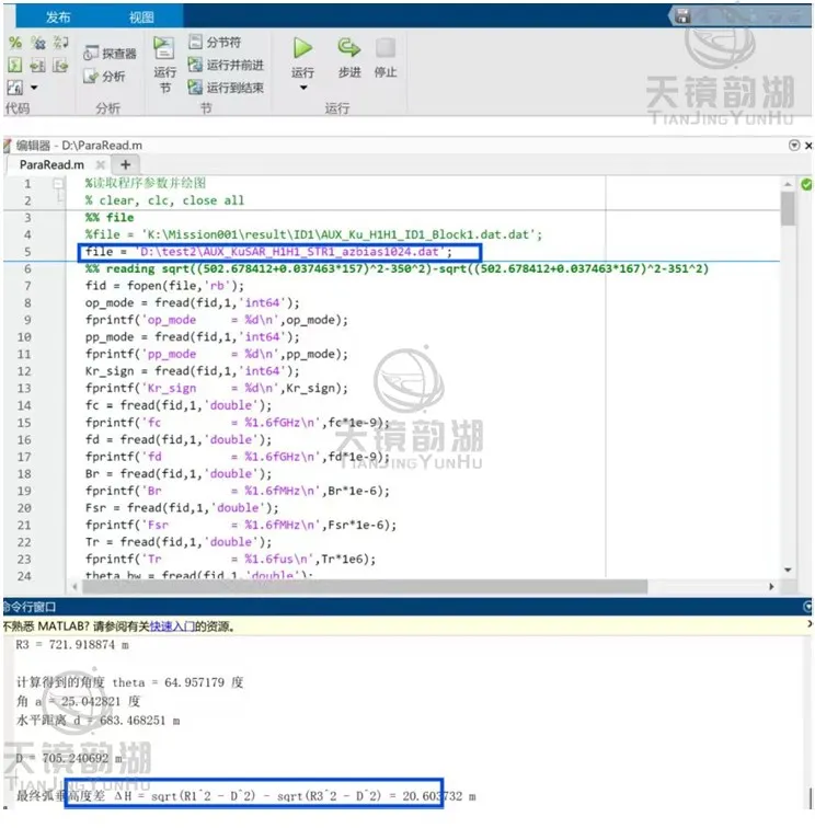
The sag calculation is 20.60m, with an accuracy of 3.2%.
SAR (Rapid Sensing and Detection) can penetrate heavy obstructions in any weather conditions (including fog, rain, snow, or night) to accurately detect every potential hazard—turning invisible sag into visible data and hidden risks into quantifiable decision-making evidence. Low cost, high efficiency, and no need for ground-based sensor deployment, airborne SAR is redefining the boundaries of power line inspection with its unique technological advantages. In the future, our company will continue to deepen its research into airborne SAR power line inspection technology, aiming to play a greater role in power corridor disaster inspection, icing and snow accumulation foreign object detection, power facility deformation, and wire arcing!