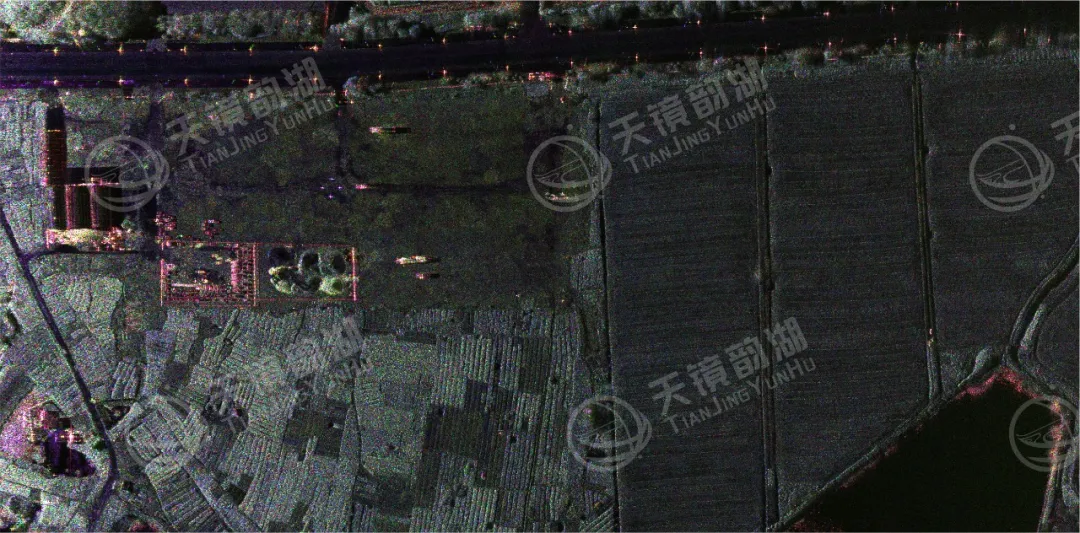
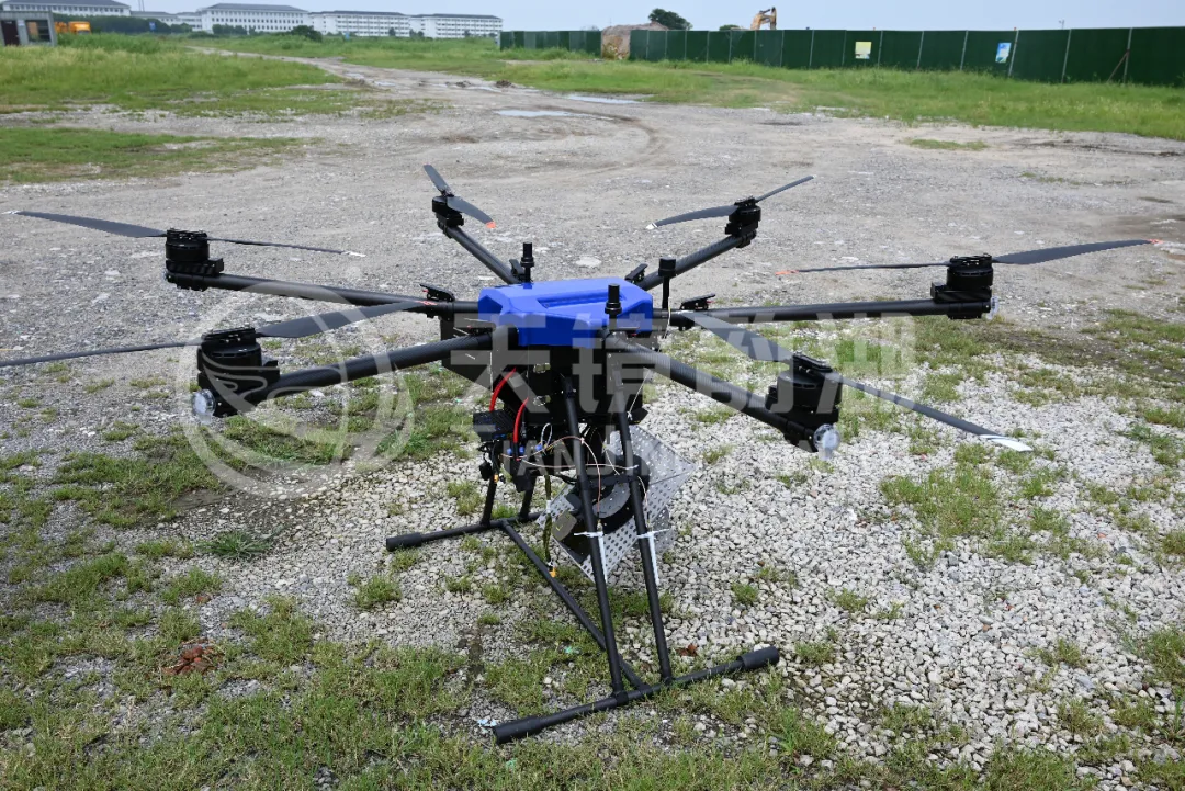
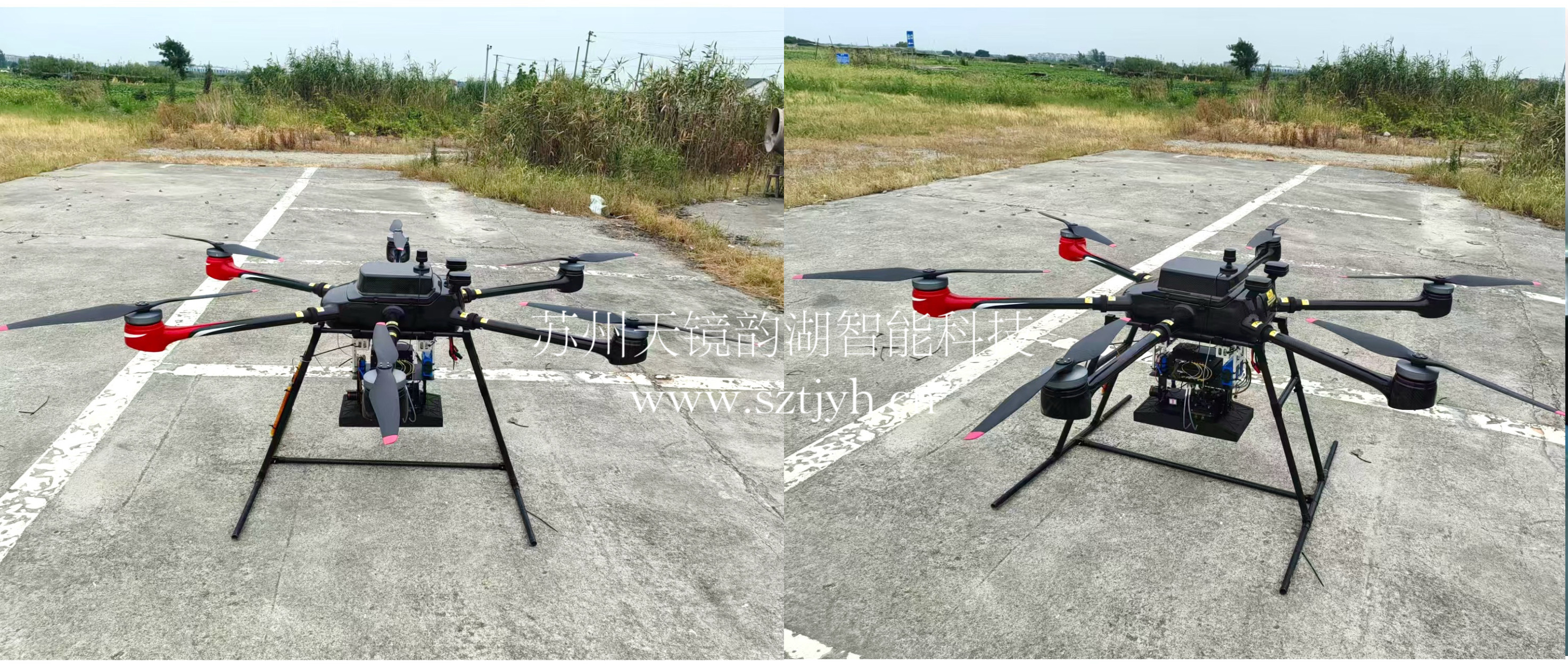
Airborne SAR (Synthetic Aperture Radar) calibration refers to the calibration of various parameters of an airborne SAR system using specific methods to eliminate systematic and environmental errors, thereby ensuring the quality of SAR images, positioning accuracy, and the accuracy of inversion parameters. Airborne SAR calibration is mainly divided into three categories: geometric calibration, radiometric calibration, and polarimetric calibration.
Geometric calibration aims to calibrate the spatial positioning accuracy of SAR images, eliminating positioning deviations caused by systematic errors (such as slant range errors and initial sampling delays) and platform errors (such as track measurement errors and motion compensation residual errors).
Radiographic calibration aims to calibrate the radiometric response of SAR images, eliminating system gain bias, propagation loss, and environmental interference, and accurately quantifying the radar cross section (RCS) of targets or the radiance of ground features.
Polarization calibration aims to calibrate the response of the SAR system under different polarization states, eliminating the impact of antenna system defects (such as polarization distortion and crosstalk) on the accurate acquisition of polarization information.
As a professional company engaged in the production, sales, service, and technical promotion of synthetic aperture radar (SAR), we have extensive experience in SAR calibration during field operations.
Because radiometric calibration has the widest applicability, it is almost a standard feature in all SAR projects. Radiometric calibration requires several corner reflectors (usually 20, depending on the size of the area), while polarimetric calibration requires several sets of corner reflectors (usually 3 sets, depending on the size of the area). Each set includes three reflectors: 0° dihedral, 45° dihedral, and trihedral, as shown in the figure below:
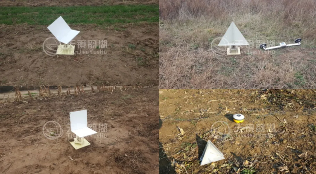
Corner reflector diagram
The following methods can ensure the implementation of polarization calibration:
Ø The azimuth and pitch angles of the corner reflectors can be adjusted during deployment, with an accuracy of less than 1 degree;
Ø The installation of the corner reflectors can be ensured to be level using a high-precision horizontal drift device, and the azimuth accuracy can be guaranteed to be within 0.5° using a GPS north-finding instrument;
Ø The position of the calibrator can be measured with a high accuracy of ≤5cm using GPS base station and rover measurement points;
Ø High-precision flight trajectory information can be obtained through GPS base station + airborne rover + IMU + integrated navigation processing.
Raw data acquired in various field operations must undergo professional calibration processing to unlock its true value. In this regard, we have an experienced technical team and independently developed calibration processing software, enabling core capabilities such as time-varying attitude polarization calibration and correction, two-dimensional spatially varied radiation calibration and correction, and geometric calibration processing.
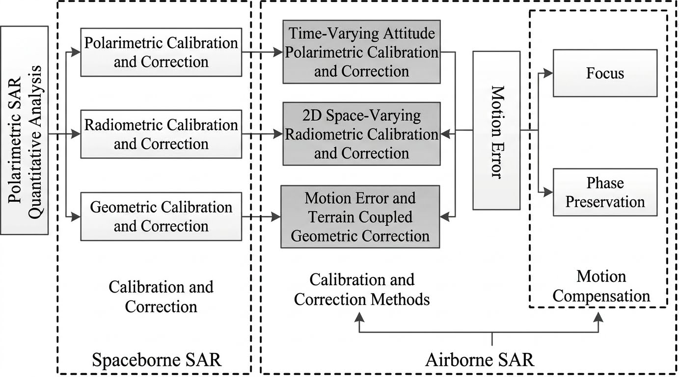
Calibration
The quality of the processed SAR images has achieved a qualitative leap. They are not only visually clear and have sharp boundaries of ground features, but also have advantages such as high radiometric fidelity and high geometric positioning accuracy. They can easily support various quantitative application scenarios such as agricultural yield estimation, marine monitoring, disaster assessment, and target detection, and truly realize the comparability of SAR data from different sensors and observation modes.
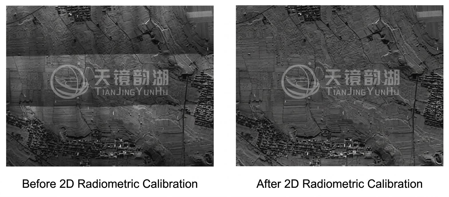
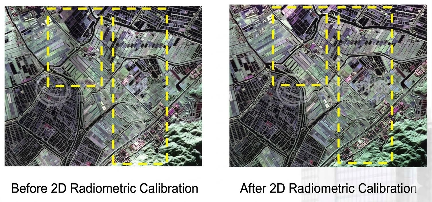
Radiation calibration and correction under time-varying attitude
Through multiple field operations and a complete closed-loop process involving software processing, we are able to deliver verifiable calibration results to our clients. Our expected calibration capabilities are as follows:
⭐️Radiative calibration accuracy: Relative radiometric calibration better than ±1dB, absolute radiometric calibration better than 2.5dB.
⭐️Polarization calibration accuracy: Polarization isolation 25dB, phase imbalance better than 15°, amplitude imbalance better than 1dB.
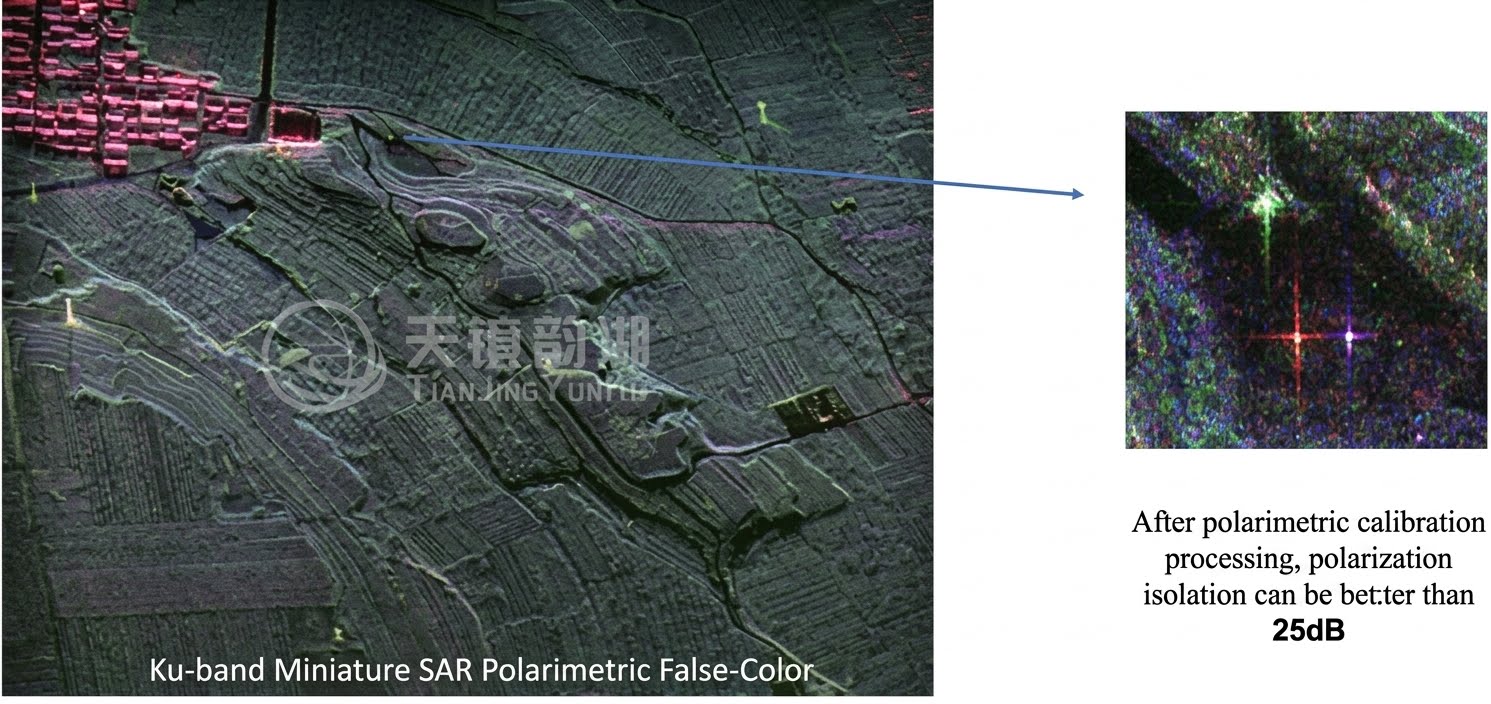
Polarization isolation: up to 25dB
Among these achievements, the relative radiometric calibration accuracy of ±1dB and the absolute radiometric calibration accuracy of 2.5dB have reached industry-leading levels. As a core indicator of polarimetric SAR system performance, a polarimetric isolation level of 25dB signifies effective suppression of crosstalk between different polarimetric channels, providing high-quality data support for precise applications such as ground feature classification and target identification. In the future, we will continue to deepen our expertise in the field of synthetic aperture radar (SAR), contributing to the quantitative development of remote sensing with more professional technology and more comprehensive services! Finally, if you have any needs for SAR calibration field services or calibration processing software, please feel free to contact us!