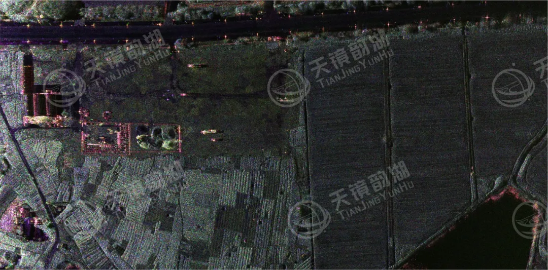
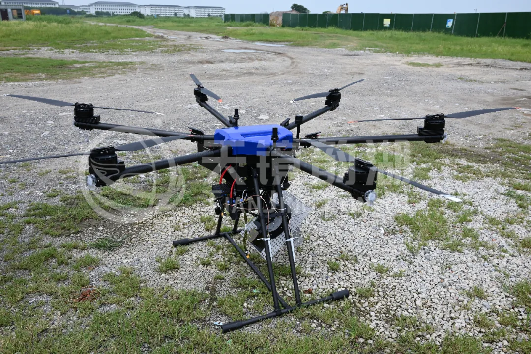
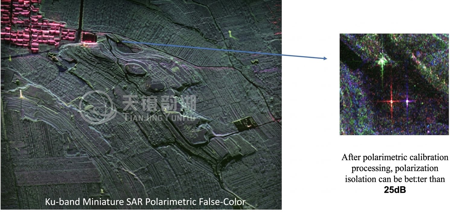
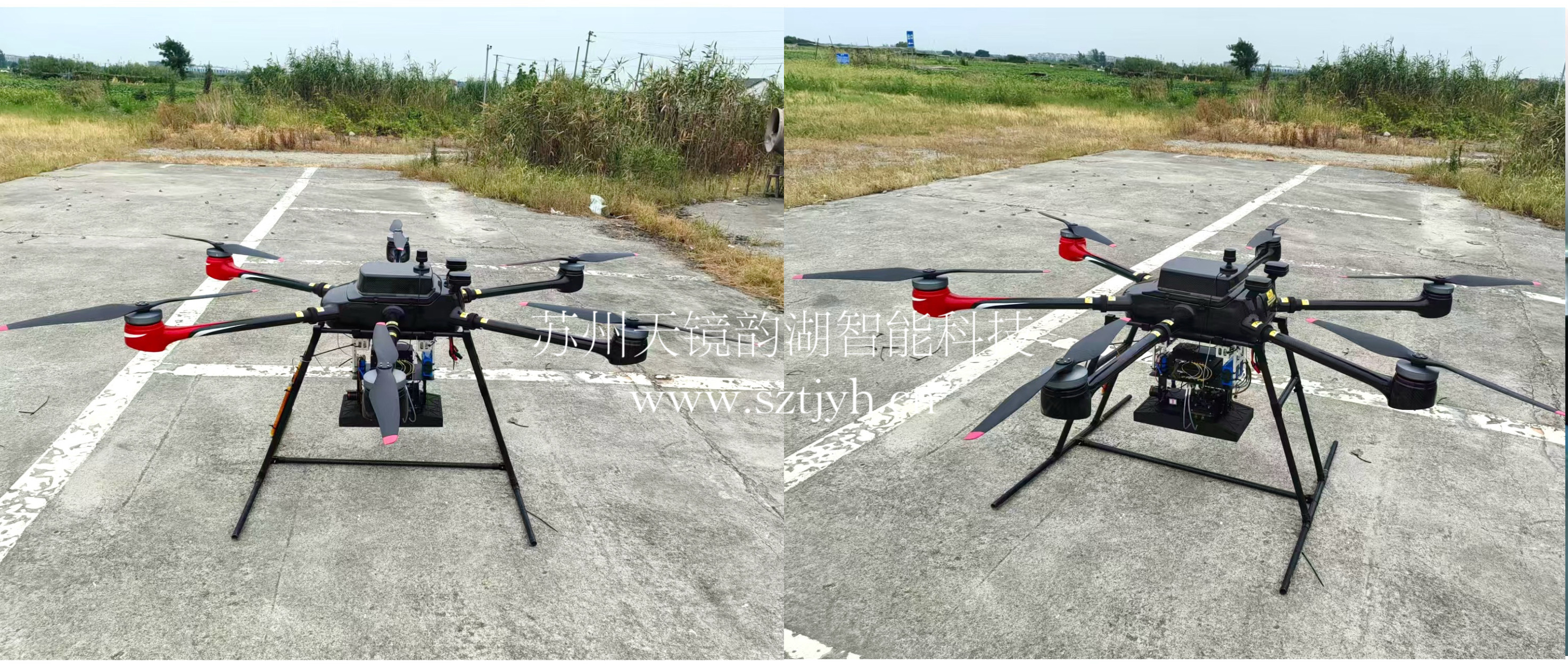
This project mainly involves the Xiamen Earthquake Bureau to monitor the deformation of active fault cracks. The Tianjing Yunhu C-band airborne SAR radar equipment will be used to conduct multiple orbit interferometry (D-InSAR) observations on a mountainous section of a fault zone in Xiamen.
I. Core Technology: Airborne Heavy Orbit Interferometry (D-InSAR) Monitoring Principle
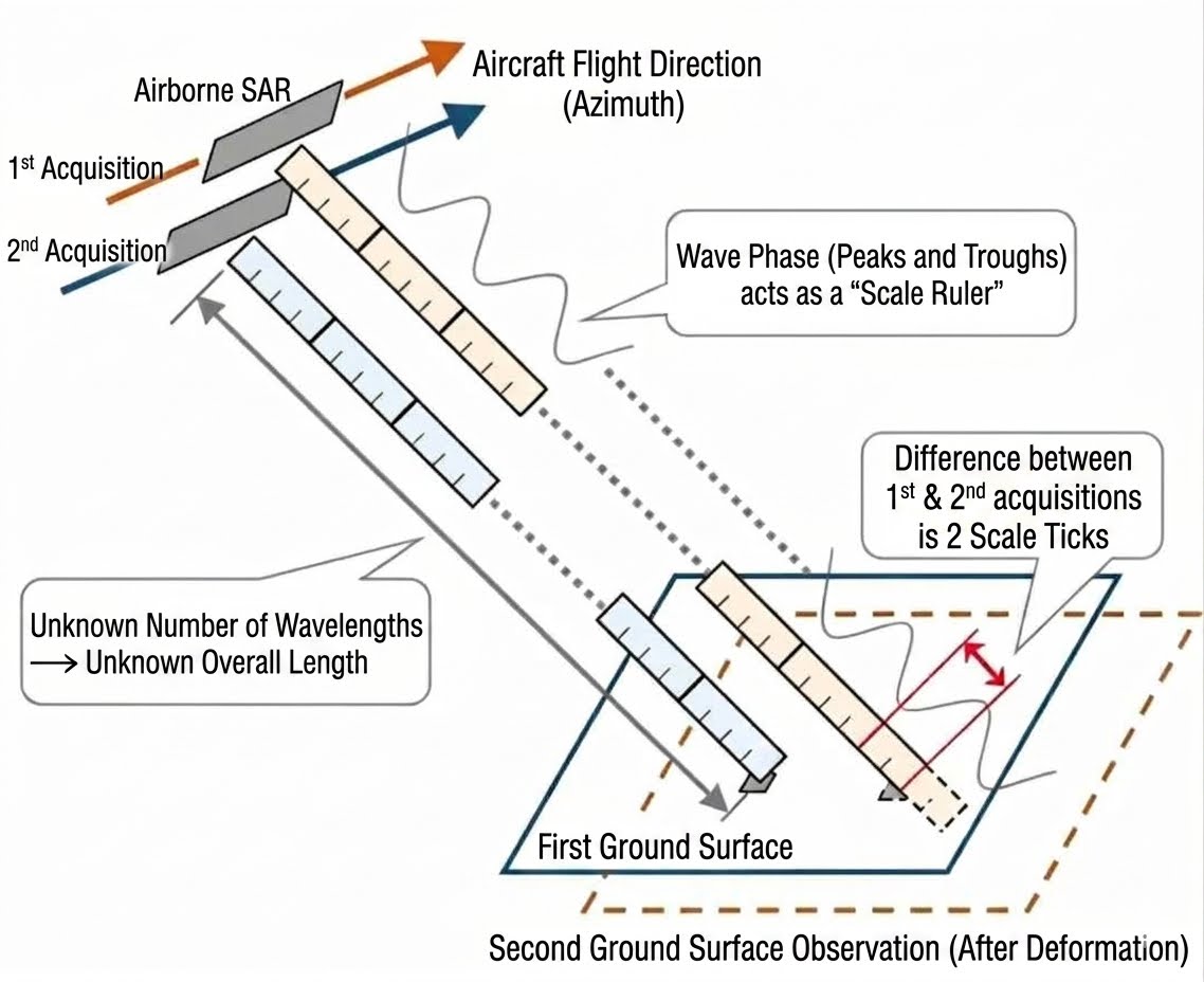
Repeated-track operation mode: The UAV-borne SAR flies over the target mountain fault zone in two phases, imaging the same fault zone twice and comparing the phase difference of the radar echoes;
Monitoring accuracy: Centimeter-level capture of fault opening, subsidence, and slip deformation; millimeter-level annual creep variation identification; all-weather operation unaffected by clouds, fog, or vegetation obstruction (P/C/Ku multi-band models are suitable for mountainous areas);
Advantages: Flexible airborne takeoff and landing; targeted delineation of high-risk fault areas, overcoming the shortcomings of long revisit cycles and insufficient resolution in mountainous areas associated with spaceborne SAR.
II. Core Reasons for Choosing the C Band
(1) Suitable for mountainous and forest environments
The C-band has a moderate wavelength, which allows it to penetrate sparse shrubs and fallen leaves on the mountain surface better than the Ku-band. It avoids the loss of coherence caused by vegetation and has higher spatial resolution than the P-band, making it suitable for detecting hidden cracks and shallow structural fissures in mountainous areas.
(2) Strong meteorological adaptability
It is less affected by rain, fog, and water vapor attenuation. Even in the often cloudy and foggy weather along the southern Fujian coast, it can still stably acquire effective interferometric data, ensuring the continuity of the heavy-orbit flight sequence.
(3) Deformation detection adaptable to fault creep
It can stably capture millimeter- to centimeter-level fault crack opening, slippage, and subsidence deformation, meeting the long-term creep monitoring indicators for earthquake precursor faults.
III. Core Work of Tianjing Yunhu
Providing radar products and flight and data technical support services;
Providing SAR datasets from multiple batches of heavy-orbit flights conducted using the XiangYun C-band airborne SAR, enabling the Xiamen Earthquake Bureau to track the long-term dynamic evolution of cracks.
IV. Deliverables
C-band SAR orthophoto of the target area and spatial distribution map of fractures;