Single sensors always have blind spots: optical cameras are almost "blind" in clouds, fog, and darkness; infrared thermal imaging, while penetrating the night, cannot identify color and texture details; SAR, though versatile in all weather conditions, lacks color information in its microwave images, making them difficult for ordinary people to interpret intuitively. Only when these three types of data come from the same time and the same scene, with temporal alignment eliminating positional deviations of dynamic targets and spatial overlap ensuring image registration accuracy, can target detection accuracy achieve a qualitative leap. However, in the past, acquiring these three types of data often required multiple flights, multiple sets of equipment, and multiple processing steps—time-consuming, labor-intensive, and costly. To address this pain point, Tianjing Yunhu has developed a multi-source imaging system integrating SAR, optics, and infrared, making "one flight, three perspectives" a reality.
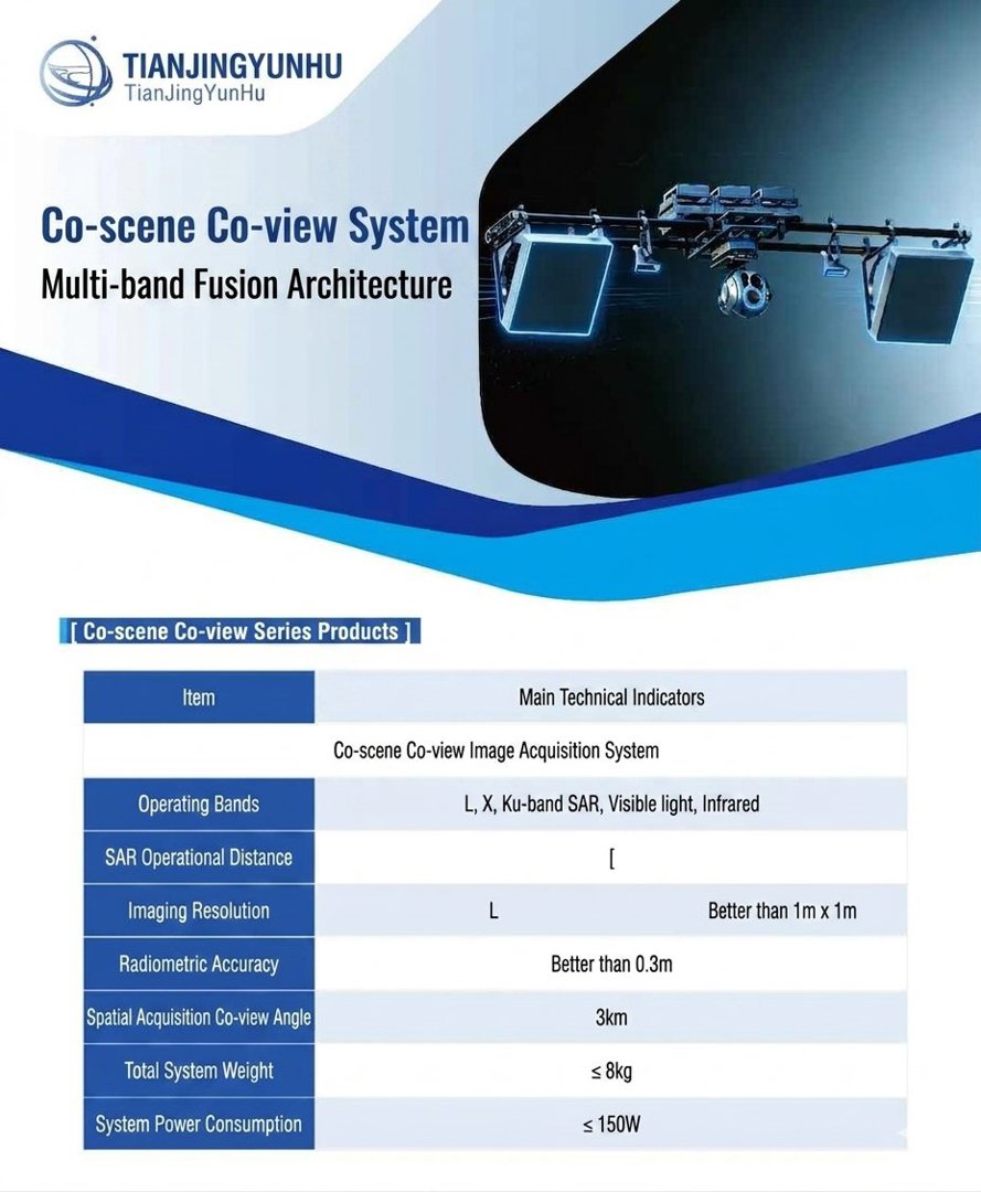
We possess extensive experience and a wide range of application cases in the development of SAR radar, optical, and infrared multi-source fusion systems.
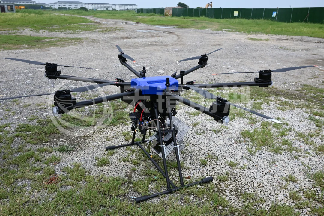
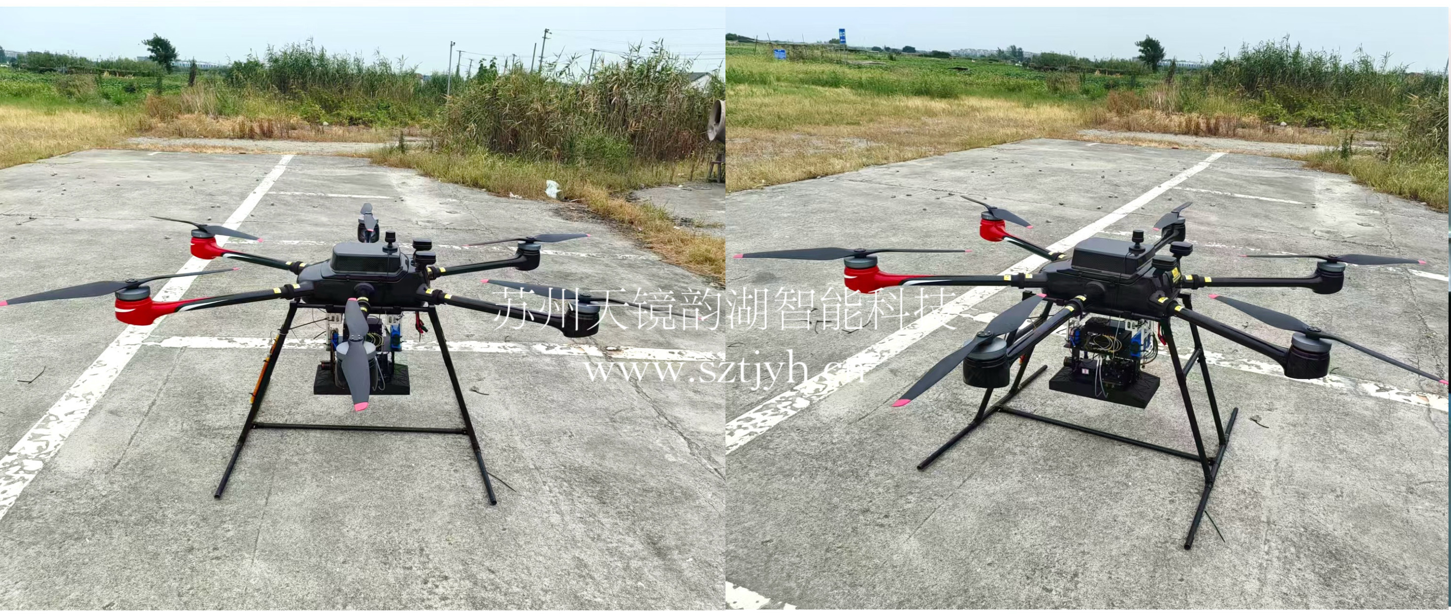
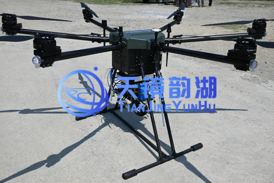
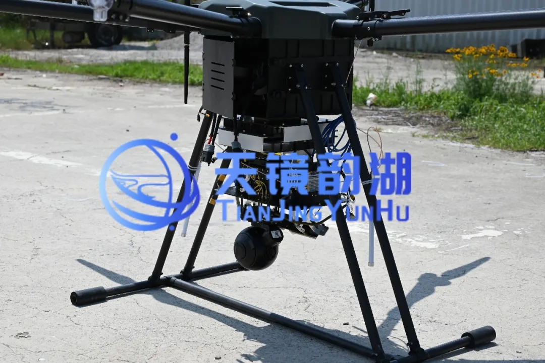
Our simultaneous image processing system integrates SAR, visible light, and infrared technologies, enabling multiple sensors to simultaneously image the same scene, providing the capability of capturing multiple images from a single flight. By addressing key challenges such as integrated design, data fusion, and image registration, it comprehensively overcomes the limitations of traditional imaging, flexibly adapting to various scenarios. Designed to provide users with a more efficient, economical, and secure integrated aerial imaging solution, it can be mounted on medium and large multi-rotor or fixed-wing UAVs.
 |
 |
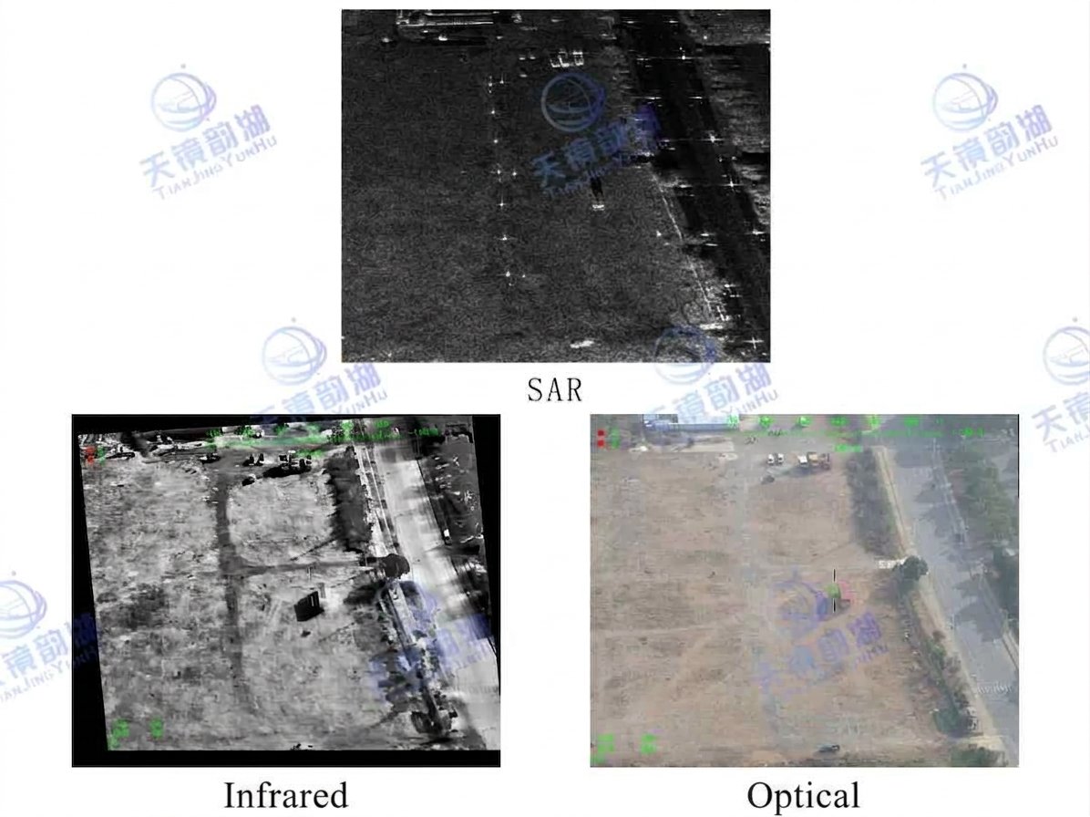
The original imaging quality of each mode of the system lays a solid foundation for the final fusion effect:
Optical Imaging: Provides high-resolution color texture. Its resolution is better than 0.1 meters at a height of 300 meters, clearly presenting the edges, colors, and texture details of the target, consistent with human visual perception.
Infrared Imaging: Penetrates night and smoke. Operating in the 8~14μm band, with a resolution better than 0.5 meters, it can accurately capture the temperature difference between the target and the background (temperature measurement accuracy ≤2℃).
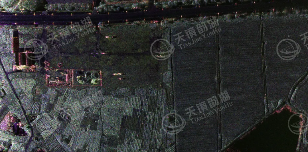
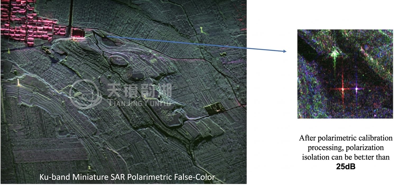
SAR Imaging: Achieves all-weather penetrating imaging. The system supports multiple bands and can achieve 0.1-meter-level high-resolution imaging, acquiring clear images of ground features under optical failure conditions such as clouds, rain, fog, haze, and nighttime.
Core Advantages:
Multi-Source Data Fusion: The simultaneous imagery system can acquire multiple types of data (such as SAR data, optical imagery, and infrared data) and integrate them through data fusion technology to form more comprehensive and accurate surface information.
High-Efficiency Imaging: The system enables multiple sensors to simultaneously image the same scene, creating multiple images from a single flight, significantly improving imaging efficiency and data acquisition speed.
Flexible Response to Various Scenarios: The simultaneous imagery system can flexibly respond to different types of scenarios and needs, providing users with all-weather observation capabilities and achieving the breakthrough capability of "one flight, three-modal simultaneous imaging."
Application Areas:
Emergency Rescue: In flood disasters, SAR penetrates clouds and rain to map the inundation area, optical imaging presents the real-world view of the affected area, and infrared imaging locks onto the thermal signals of trapped personnel. Simultaneous acquisition of these three types of data allows the rescue command center to grasp the overall situation immediately.
Military Reconnaissance: In complex electromagnetic environments, SAR enables all-weather wide-area searching, optical imaging provides high-resolution target confirmation, and infrared imaging penetrates camouflage to detect concealed heat sources.
Border Patrol: A single flight simultaneously acquires SAR, visible light, and infrared data, leaving no room for camouflaged targets, nighttime border crossings, or unusual activities concealed by smoke.
We specialize in the research and development and solution provision of MiniSAR systems. From core algorithms to overall system integration, from lightweight design to multi-platform compatibility, we consistently adhere to independent innovation, striving to make MiniSAR lighter, clearer, and more accurate. Currently, our products are widely used in maritime monitoring, topographic mapping, disaster monitoring, and border patrol, with tens of thousands of flights completed, serving numerous industry users and research institutions. With the vision of becoming a "globally leading provider of synthetic aperture radar solutions," we are committed to promoting the widespread adoption of domestically produced SAR technology, making synthetic aperture radar a truly accessible, efficient, and reliable tool for Earth observation!