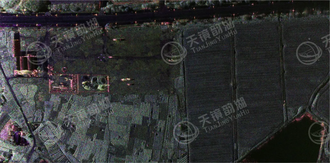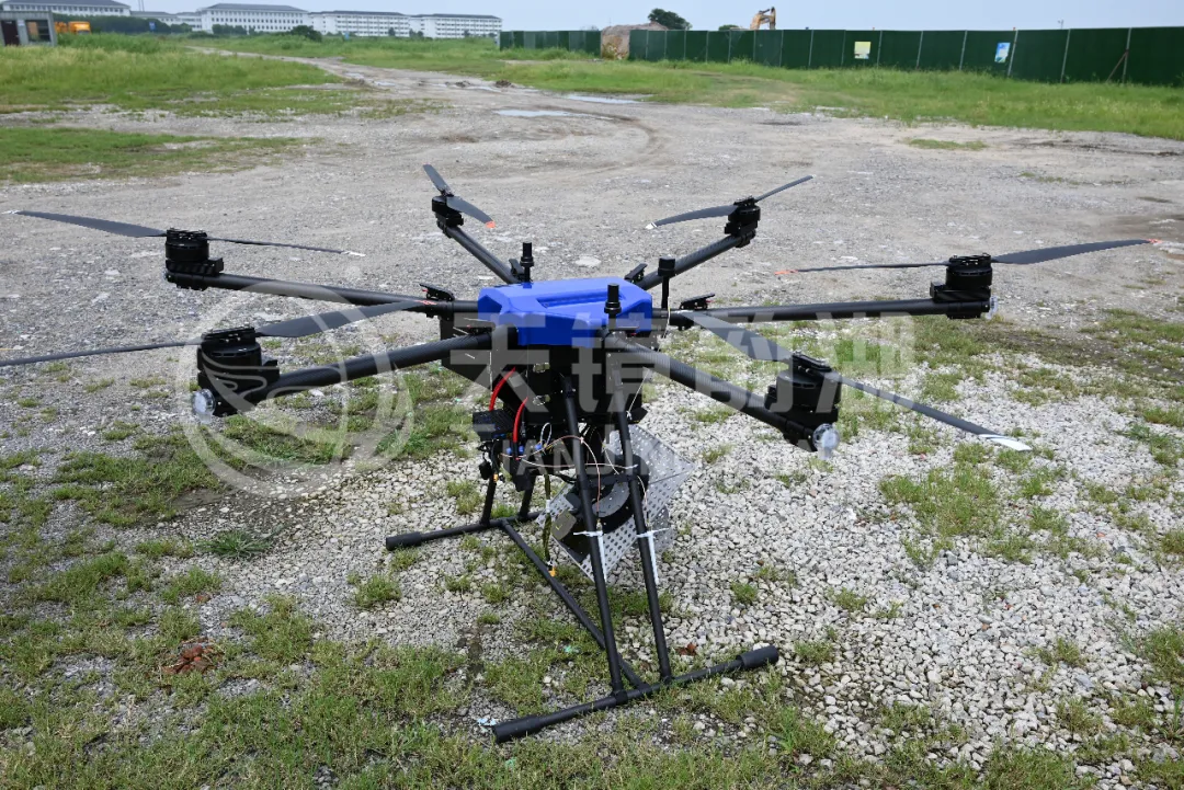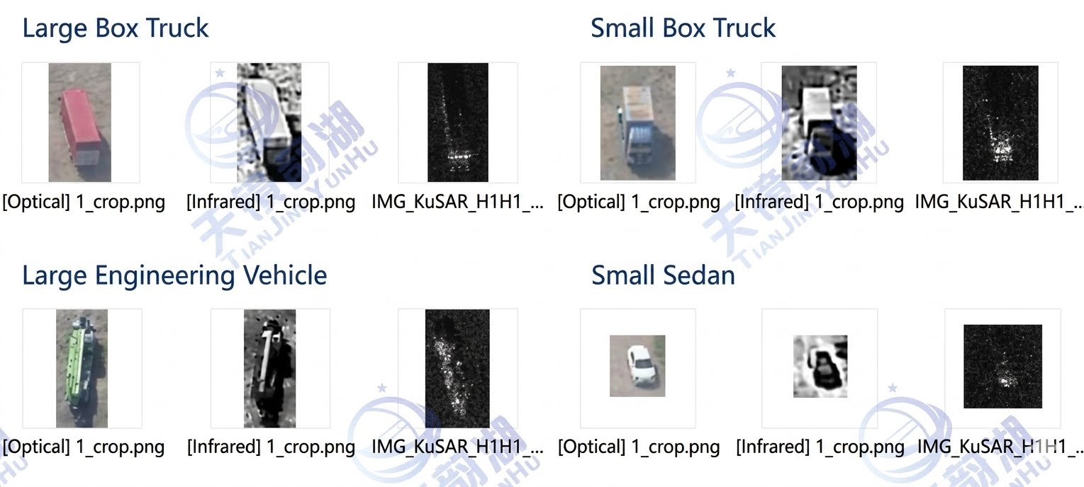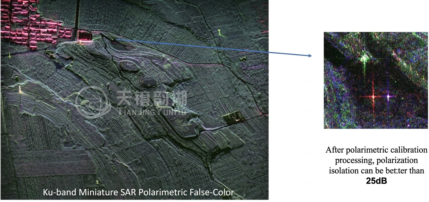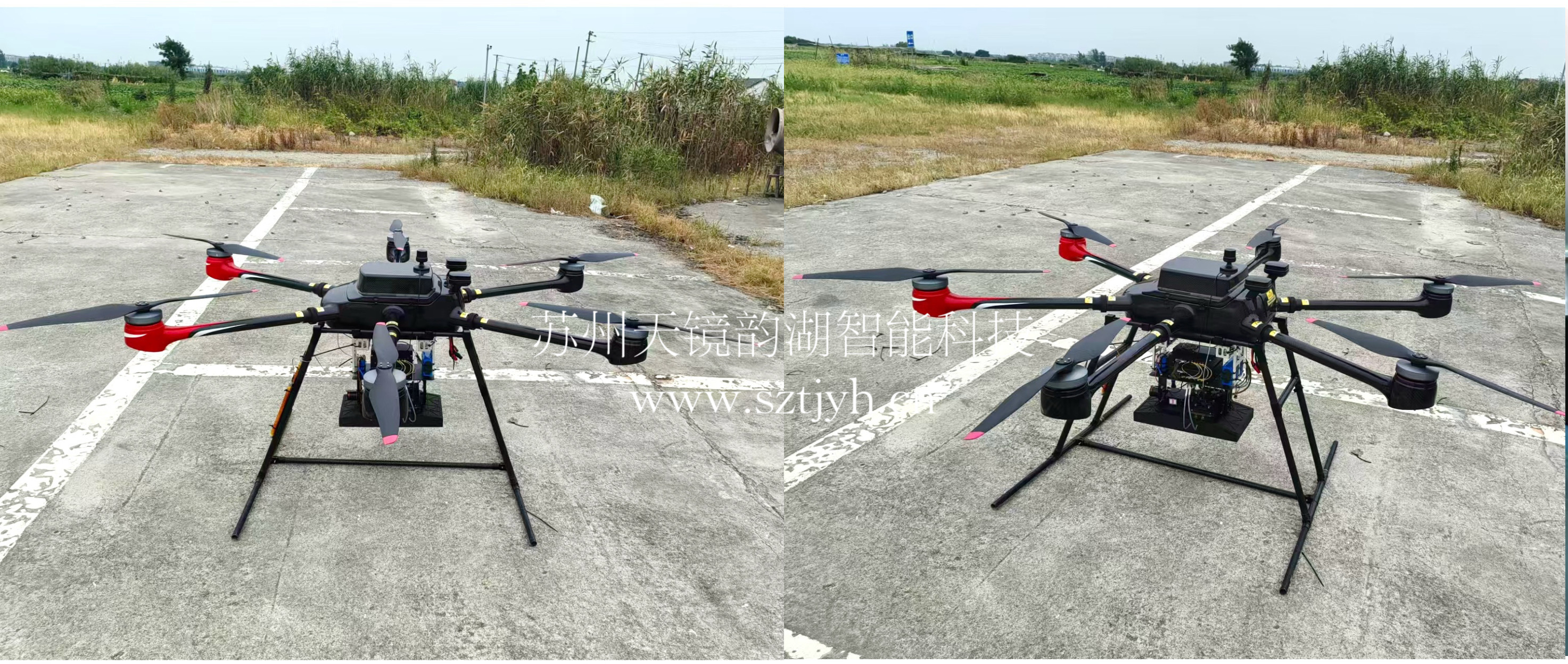

Synthetic Aperture Radar (SAR) technology, with its unique advantages of being able to penetrate clouds and fog in all weather conditions and operating around the clock, has become the "X-ray vision" of the remote sensing field. Miniature SAR, on the other hand, represents the development of SAR technology towards miniaturization, lightweight design, low power consumption, and low cost. It successfully integrates the powerful "X-ray vision" capability, originally only possible on large aircraft or satellites, into small platforms such as drones, microsatellites, and even ground vehicles, ushering in a new era of high-resolution radar remote sensing.
I. The Miniaturization Wave: From Large Platforms to Flexible Carriers
Early SAR systems were bulky and consumed enormous amounts of power, making them exclusive to large reconnaissance aircraft and satellites. A key turning point in the miniaturization process occurred at the beginning of this century, primarily driven by:
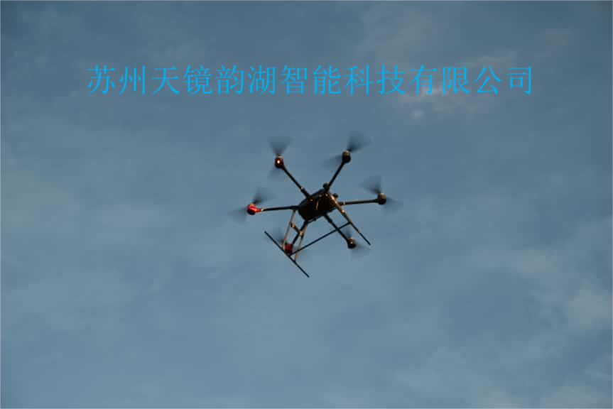
(1) The Unmanned Aerial Vehicle (UAV) Revolution: The explosive growth of military and civilian UAVs created an urgent need for lightweight imaging sensors. The Defense Advanced Research Projects Agency (DARPA)'s "Miniature SAR" project (launched around 2000) was a major driving force, aiming to develop kilogram-class SAR systems for small tactical UAVs. Institutions such as Sandia National Laboratories in the United States have consistently led in this field.
(2) The Rise of Microsatellites: The rise of low-cost microsatellite platforms such as CubeSats demanded extremely miniaturized payloads. This made it possible to incorporate SAR into satellites weighing hundreds of kilograms or even smaller, spurring a new wave of innovation in space radar.
(3) Technological Advancements: The rapid development of integrated circuits (especially radio frequency chips), microelectromechanical systems (MEMS), advanced materials (such as composite antennas), efficient power management, and real-time signal processing algorithms provided a solid foundation for hardware miniaturization.
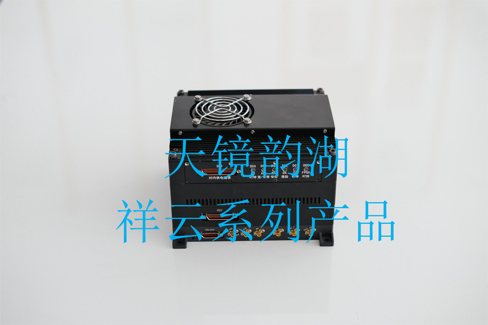
Globally, the United States, Europe, and Israel are leading countries in this field. China has also made significant breakthroughs in recent years, with systems developed by universities, research institutions, and high-tech enterprises successfully applied to various UAV platforms and serving multiple sectors. Suzhou Tianjing Yunhu Intelligent Technology Co., Ltd. focuses on the field of micro SAR and has successfully developed internationally advanced micro SAR system products across various bands, including the Xiangyun series, Lingyun series, and Tongjing Gongshi system.

II. Evolution of Core Technologies
The development of miniature SAR is the result of breakthroughs in several key technologies:
Antenna Technology: From bulky waveguide slot antennas to lightweight microstrip antennas, printed circuit board antennas, and then to phased array antennas. MEMS technology is used to achieve flexible beam scanning and low-profile design. New materials (such as liquid crystals and metamaterials) are being explored for thinner, smarter antennas.
System Integration: High integration (SoC, SiP) is key. Integrating the RF front-end, digital receiver, signal processor, and even some power management components onto a few chips or compact modules significantly reduces size, weight, and power consumption.
Signal Processing: Real-time, efficient processing of massive amounts of SAR data is a huge challenge. Algorithm optimization (such as fast factorization backprojection), dedicated hardware acceleration (FPGA, GPU), and emerging compressed sensing technologies make near real-time imaging possible on small platforms.
Multi-Mode Fusion: Miniature SAR can not only generate high-resolution images but also perform functions such as interferometric (InSAR) altimetry, ground moving target indication, and polarization measurement, providing richer information.
III. Widespread Expansion of Application Scenarios
The platform adaptability brought about by miniaturization has greatly expanded the application boundaries of SAR:
National Defense and Security: Small UAV reconnaissance (integrated reconnaissance and strike, camouflage assessment, battlefield reconnaissance), border/coastline monitoring, and concealed target detection.
Disaster Emergency Response: Rapid response to disasters such as floods, earthquakes, and landslides; obtaining disaster images through clouds, rain, and smoke (playing a crucial role in the Wenchuan earthquake and the Henan rainstorm).
Surveying and Infrastructure Monitoring: Generating digital elevation models, monitoring dam/bridge/building deformation, monitoring mine subsidence, and pipeline inspection.
Precision Agriculture: Monitoring soil moisture, crop growth, and pests and diseases.
Environmental Monitoring: Forest resource surveys, glacier change monitoring, and wetland protection.
Transportation and Port Monitoring: Ship detection and identification, port activity monitoring, and traffic flow analysis (such as monitoring busy ports).
IV. Conclusion
The development of miniature SAR is not only a technological advancement but also a democratization of observation capabilities. It makes the "eye of vision" no longer expensive and bulky, enabling deployment on an unprecedented variety of platforms. With unprecedented flexibility and economy, it penetrates darkness and obscurity, continuously providing crucial insights for humanity's understanding and transformation of the world. Suzhou Tianjing Yunhu Intelligent Technology Co., Ltd. focuses on the field of micro SAR. The company is committed to providing customers with end-to-end solutions from SAR data acquisition, processing, analysis to application, aiming to be a professional SAR technology solution provider and promoting the wider application of micro SAR technology in both military and civilian sectors.