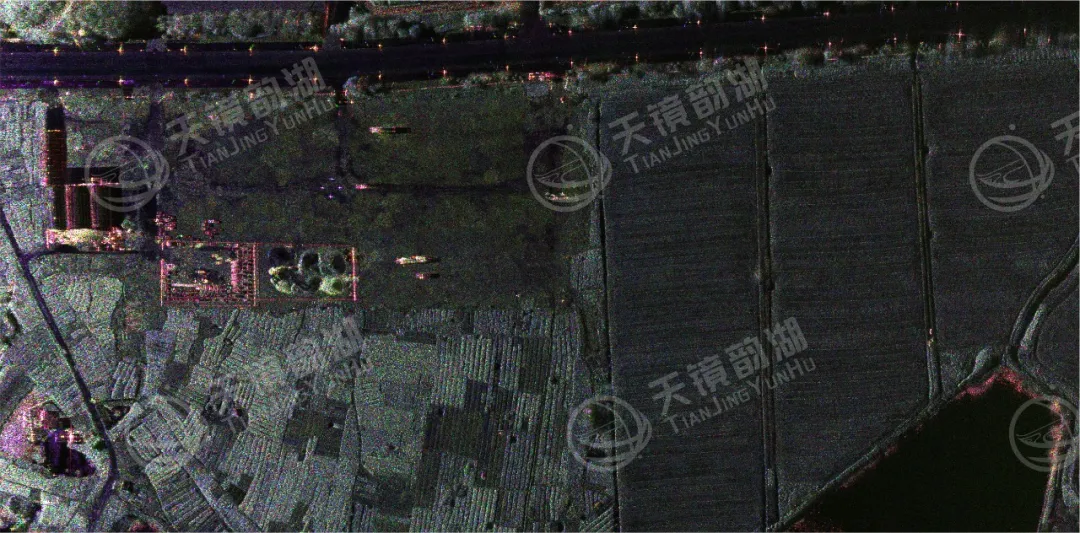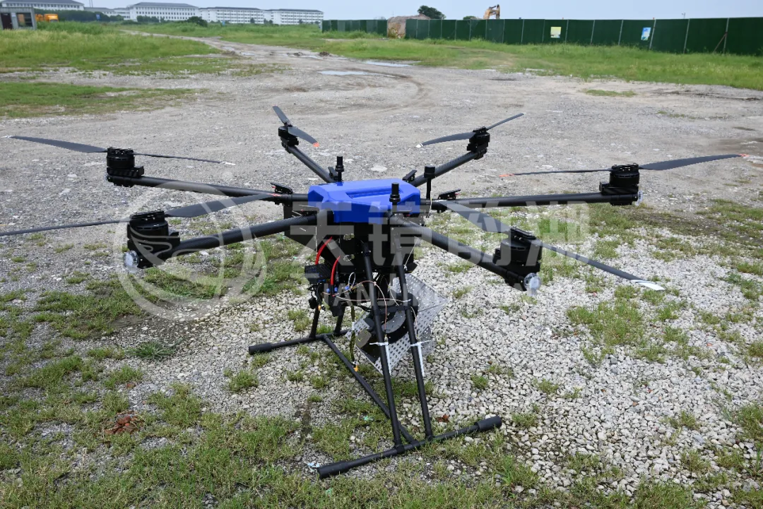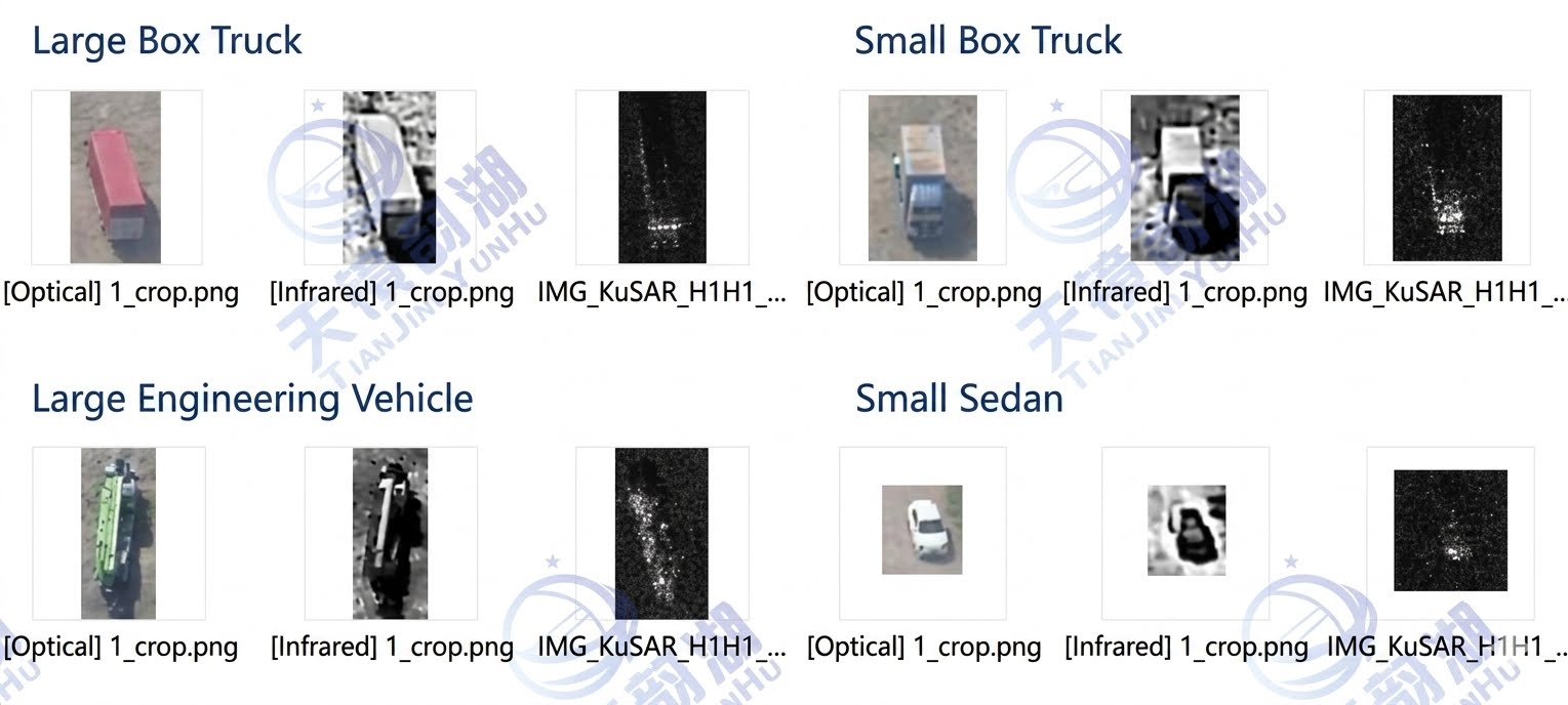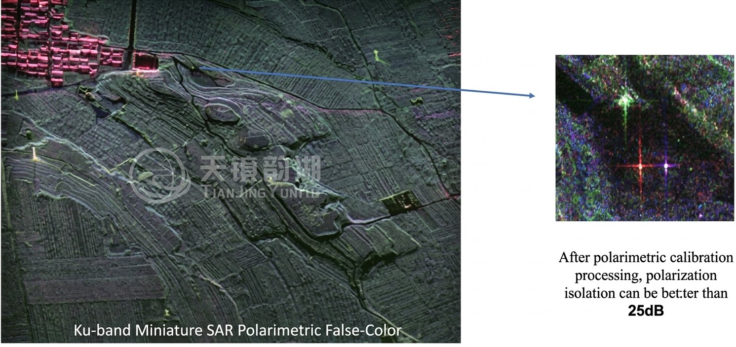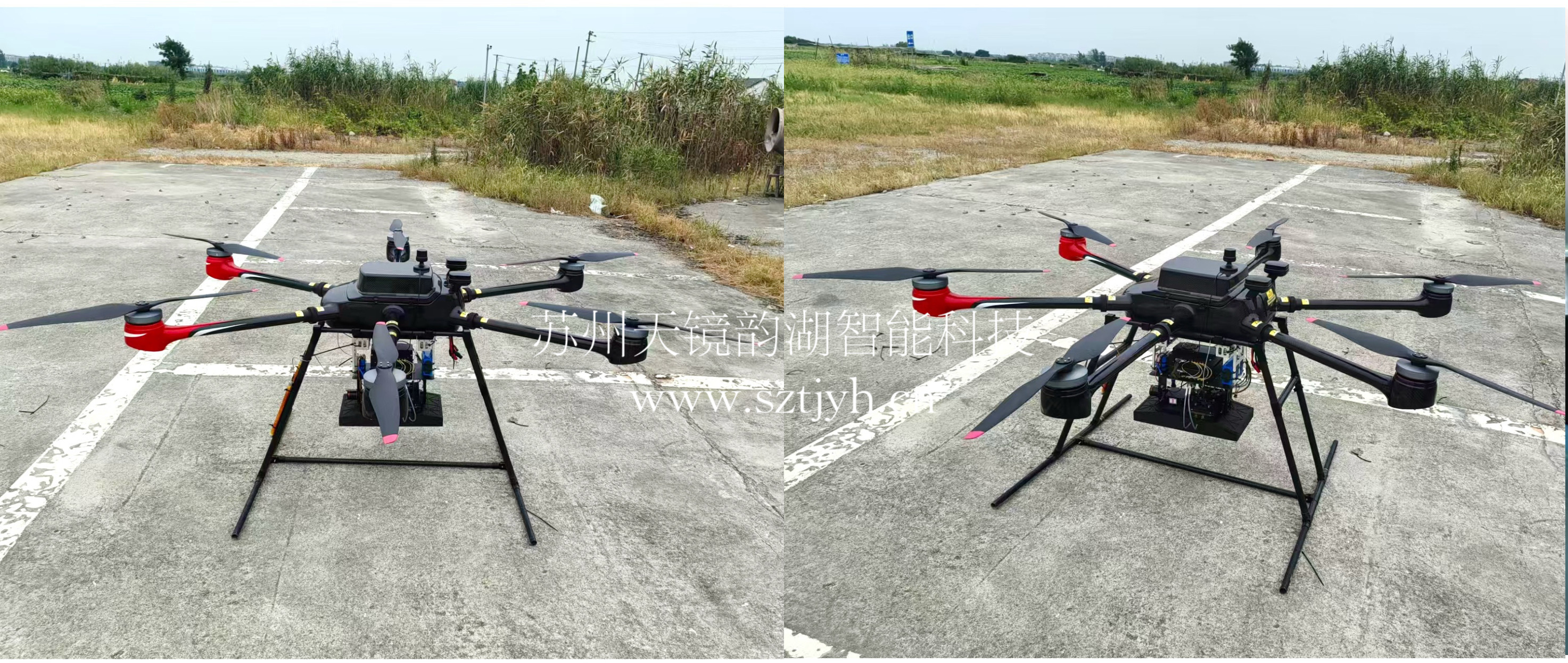

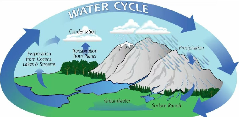
Soil moisture is a crucial indicator of surface water availability. It plays a key role in the Earth's water cycle, connecting precipitation, evaporation, storage, and runoff. Soil moisture data is vital for agriculture, forestry resource management, and fire prevention. However, traditional soil moisture monitoring methods have limitations. Traditional methods rely primarily on ground-based monitoring stations and satellite remote sensing. But combining Synthetic Aperture Radar (SAR) imagery with passive microwave remote sensing data can achieve high-precision retrieval and spatial mapping of soil moisture. Furthermore, miniature SAR systems offer significant advantages over traditional large-scale SAR platforms: the application of miniature synthetic aperture radar (Miniaturized SAR/MicroSAR) in soil moisture monitoring is one of the cutting-edge directions in current remote sensing technology, particularly suitable for high-resolution, near-real-time monitoring of small areas (such as farmland, forests, or disaster areas).
1. Advantages of Miniature SAR
Lightweight and Low Cost: Weighing as little as a few kilograms (e.g., UAV-borne SAR), suitable for mounting on small unmanned aerial vehicles (UAVs), near-Earth satellites, or commercial satellites.
High-Frequency Observation: Flexible deployment, compensating for the long revisit cycles of large satellites.
High Resolution: Up to sub-meter resolution, suitable for precision agriculture or localized hydrological research.
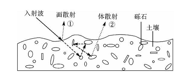
Figure 1. Backscattering model of a miniature airborne SAR surface radar
2. Soil Moisture Monitoring Principles
Radar Backscatter Signal Analysis: Soil moisture affects the surface dielectric constant, thus altering radar echo intensity (especially sensitive to the C/X band).
Polarization and Interferometry Techniques:
Multipolarization (VV/VH/HH): Differentiates between vegetation cover and soil moisture (e.g., VH polarization reduces vegetation interference).
InSAR (Interferometric SAR): Detects soil expansion/contraction (millimeter-level moisture changes) through phase variations.
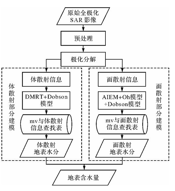
Figure 2. Principle of data processing technology for soil moisture using miniature airborne SAR.
3. Applications of Miniature SAR in Soil Moisture Monitoring in Various Fields
(1) Flood Prediction
Soil moisture information helps predict flood potential. Although floods are caused by heavy rainfall, saturated soil greatly increases the likelihood of flooding because the soil can no longer absorb rainwater. Floods occur in watersheds when the rate at which unabsorbed rainwater drains through narrow outlets is insufficient to accommodate the rainfall rate. SAR technology services can better monitor flood conditions for early warning.
(2) Forest Fire Monitoring
In recent years, wildfires have caused many disasters, and the frequent occurrence of severe wildfires highlights the importance of early warning. SAR technology services can not only assess current fire risk by monitoring vegetation status (such as biomass and water content), but the inverted surface soil moisture data is also crucial in predicting the likelihood of fire outbreaks, as prolonged drought is often a prerequisite for fire outbreaks.
(3) Landslide Early Warning
Landslides usually occur suddenly, leaving residents little time to escape. Massive landslides occur after heavy or continuous rainfall, where soil saturation leads to decreased soil cohesion and increased weight, thus inducing instability. High-precision soil moisture distribution maps can serve as an important means of identifying potential landslide hazard areas and providing early warnings.
(4) Agricultural Applications
Accurate soil moisture information at the individual farmland scale enables efficient irrigation, water use, and fertilization. Efficient irrigation conserves water resources lost due to drought and increased global food demand. Optimized fertilization reduces costs and prevents excessive nutrient pollution of river systems. Traditionally, soil moisture information has relied on manual field inspections, but SAR technology can efficiently and objectively provide accurate data at a large field scale. The following figure uses winter wheat irrigation monitoring as an example:
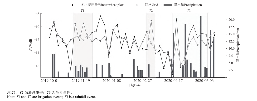
Figure 3. Winter Wheat Soil Moisture Monitoring Map
4. Company Introduction
Suzhou Tianjing Yunhu Intelligent Technology Co., Ltd. (www.sztjyh.cn), with years of R&D experience and professional technical accumulation, has successfully launched a series of SAR products equipped with multiple bands and possessing various capabilities. Currently, it has coverage of multiple bands including X, Ku, K, Ka, C, W, and L, and can achieve strip imaging, spotlight imaging, single polarization mode, full polarization mode, and interferometric mode.