In scenarios such as geological disaster early warning, health monitoring of large bridges, and settlement observation in mining areas, surface displacements that are imperceptible to the naked eye often harbor enormous risks. How to efficiently, accurately, and cost-effectively capture these "millimeter-level" changes is an important research direction in the field of modern remote sensing.
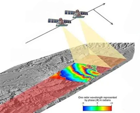
Surface deformation monitoring
Traditional surface deformation monitoring primarily relies on ground-based measurements and satellite remote sensing. While ground-based measurements offer high accuracy, they suffer from limited coverage and low operational efficiency; satellite remote sensing, while providing wide coverage, is limited by long revisit times and insufficient spatial resolution. UAV-borne interferometric SAR technology fills this gap, achieving efficient regional coverage while maintaining centimeter-level accuracy, making it particularly suitable for emergency monitoring and periodic observation missions.
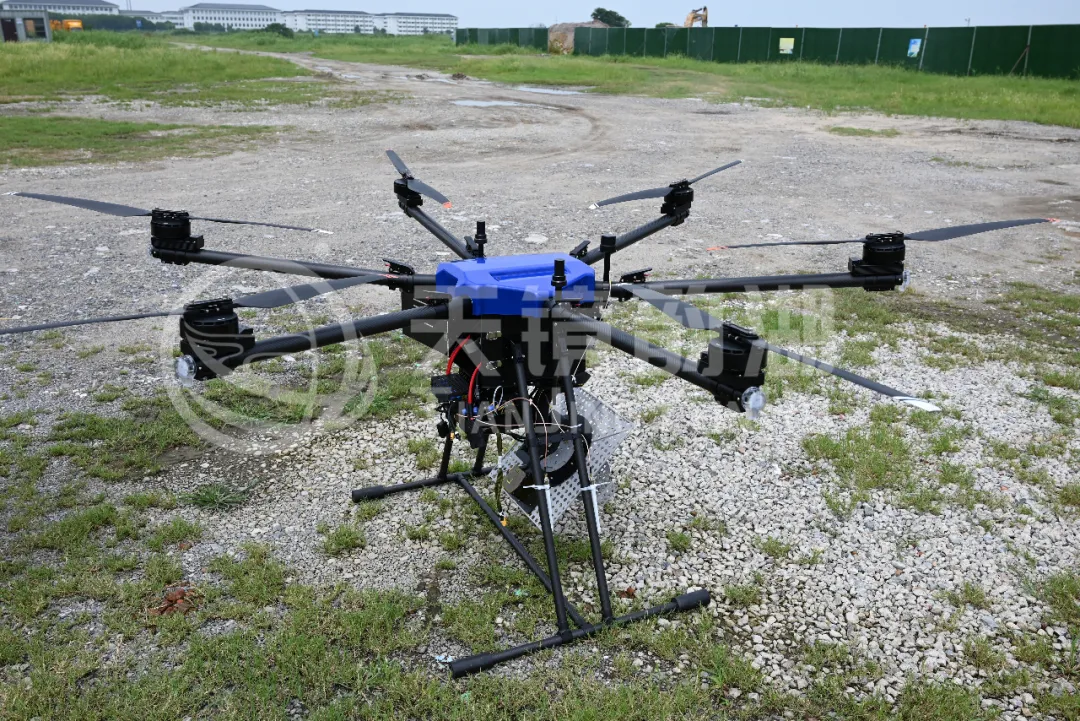
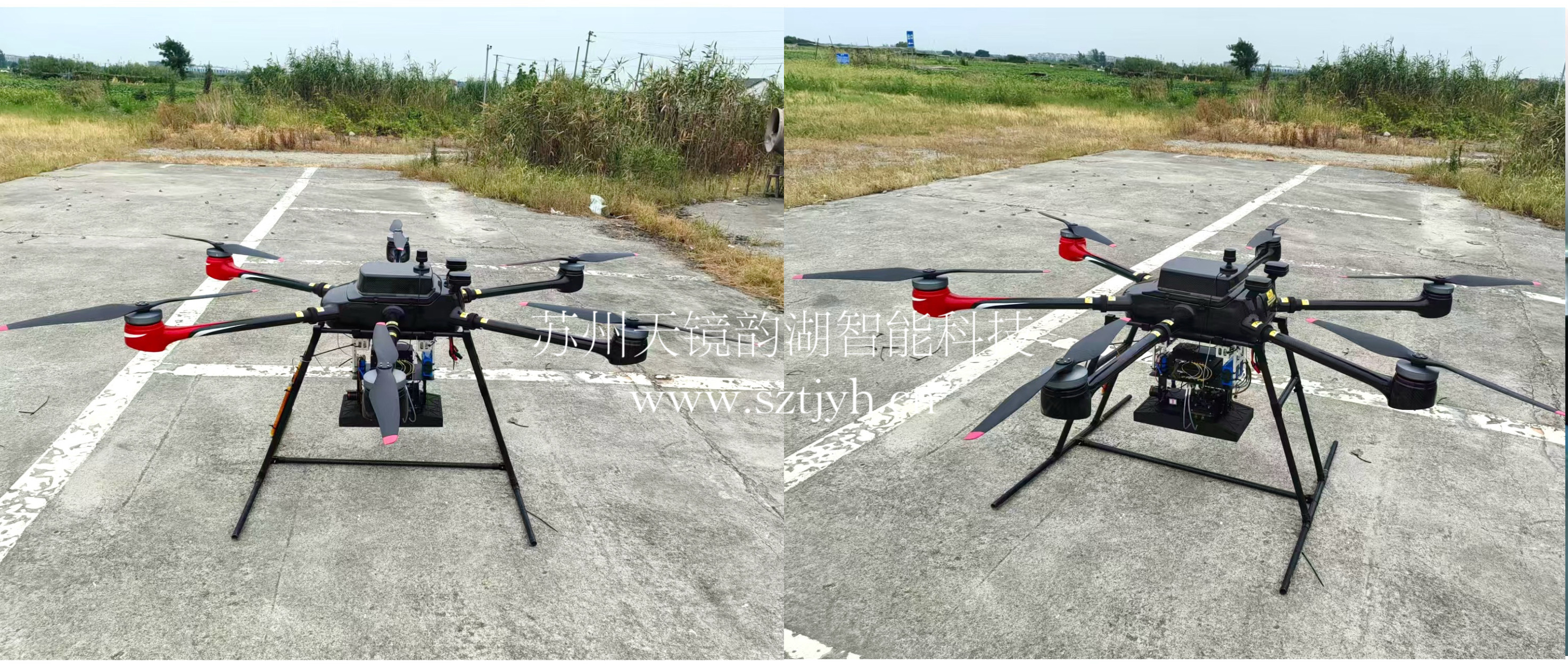
For such applications, Suzhou Tianjing Yunhu Intelligent Technology Co., Ltd. has developed a high-precision synthetic aperture radar (SAR) deformation monitoring system specifically designed for UAV platforms. It consists of an L-band radar, a high-precision inertial navigation system, a high-performance servo-stabilized turntable, an RF antenna, and supporting data transmission and battery modules. Weighing only 14 kg and consuming 160W, it can be easily mounted on a multi-rotor UAV. This system has been successfully integrated into the Huanyu Lantian F1800Pro multi-rotor UAV and has undergone multiple actual aerial survey verifications.
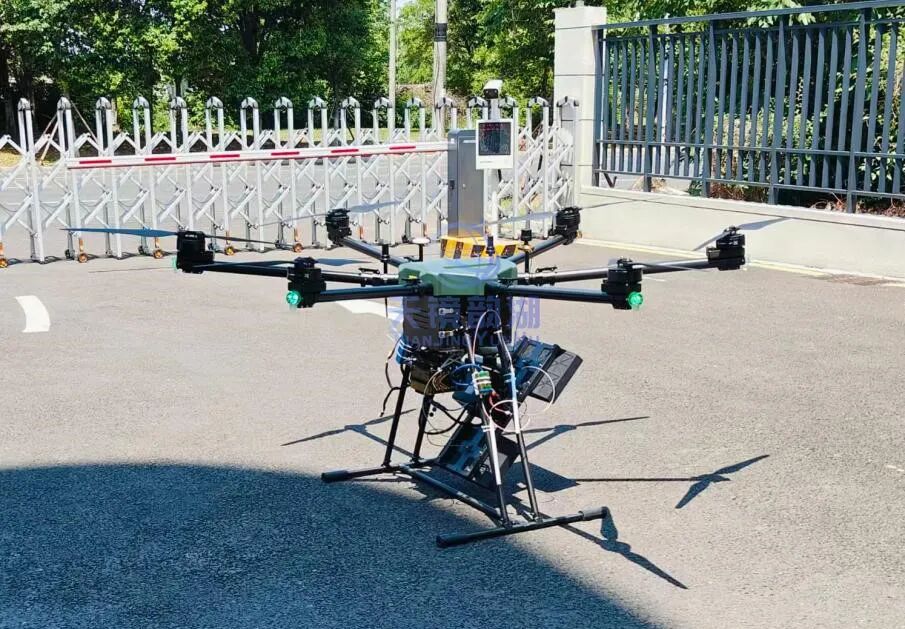
UAV-borne SAR system
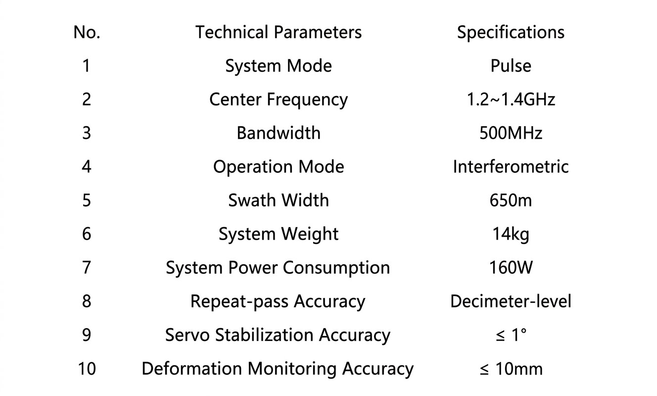
The system employs a pulse operating mode with a bandwidth of up to 500MHz, specifically optimized for interferometric imaging. A single flight path can cover a 650-meter-wide mapping strip, significantly improving operational efficiency. More importantly, its high-precision fiber optic inertial navigation and servo stabilization platform (stabilization accuracy ≤1°), combined with the UAV's RTK navigation technology, enables decimeter-level accuracy in the flight trajectory—a prerequisite for successful subsequent differential interferometric processing.
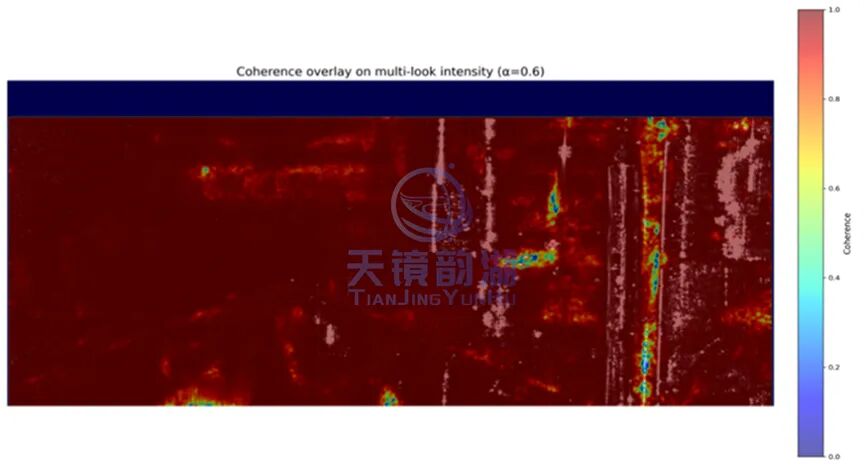
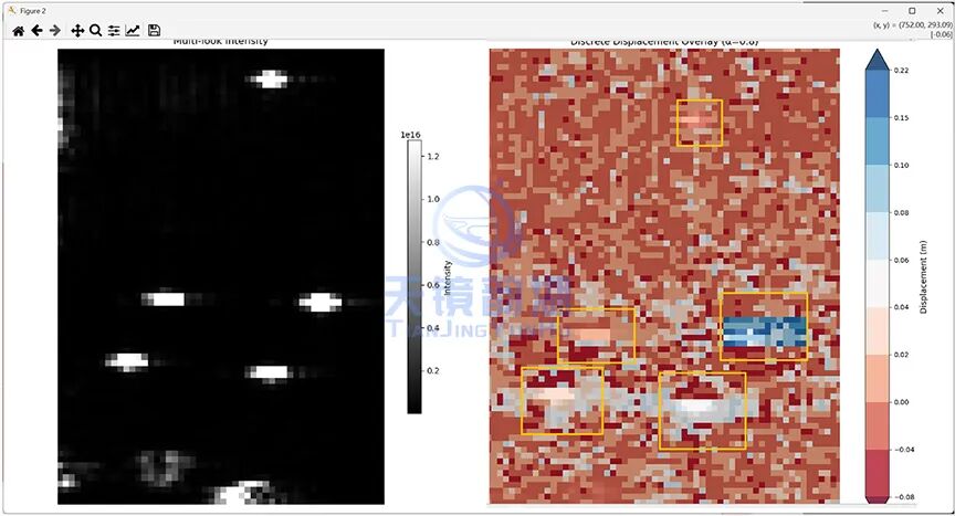
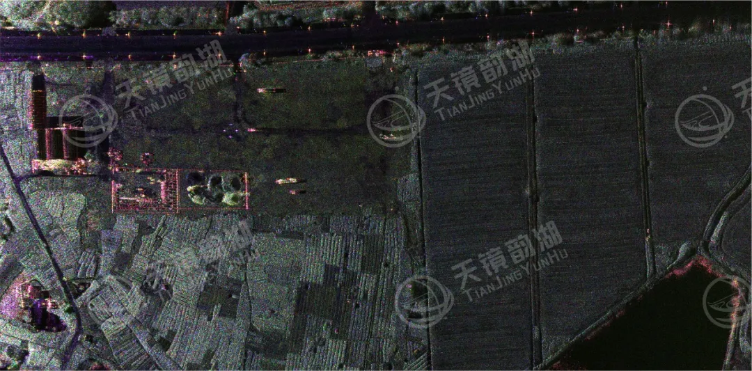
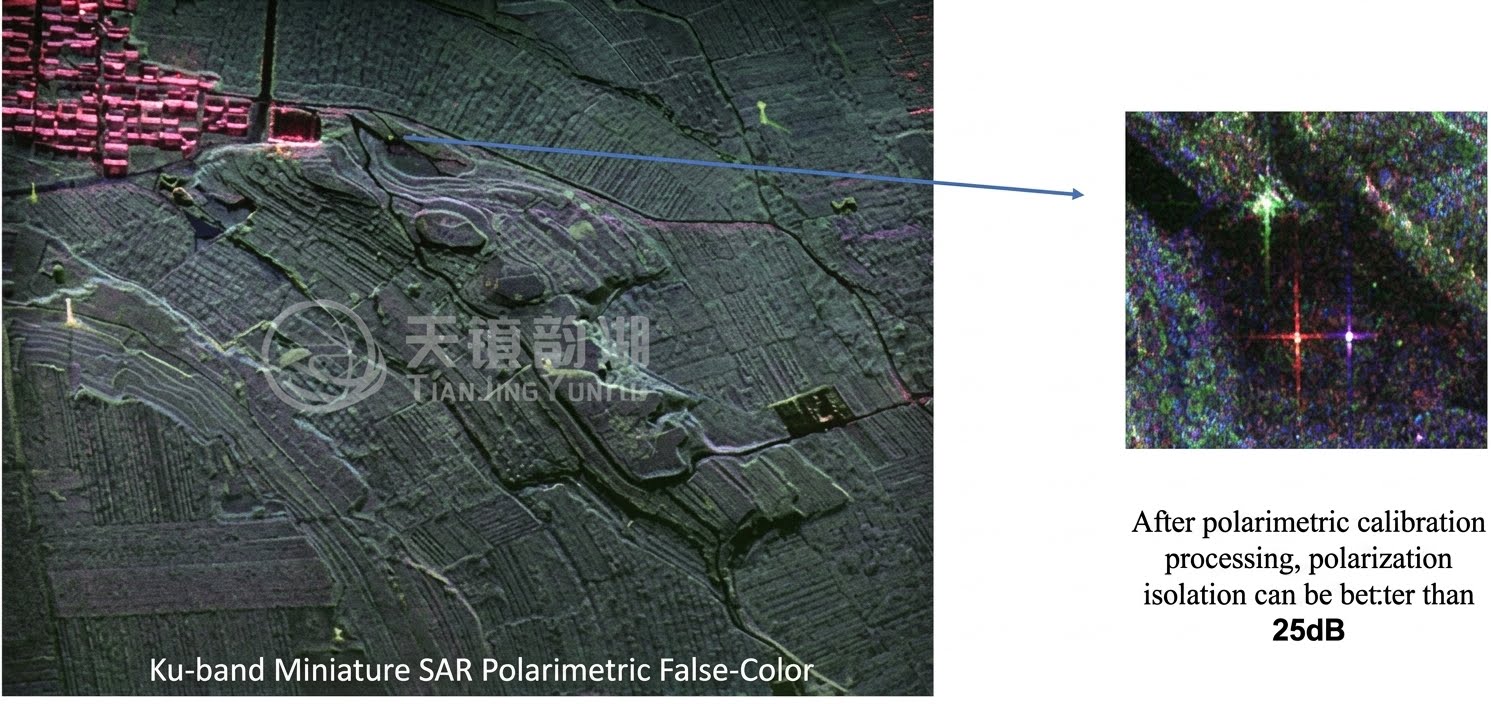
The acquired imagery shows clear ground features, good coherence, and reliable continuous interferometric fringes. The processed deformation map visually displays the displacement distribution in the target area, demonstrating a technological maturity sufficient for engineering applications. Furthermore, this system is not only compatible with existing mature UAV models but also supports flexible selection of other UAV platforms based on payload and flight time requirements.
In the future, with continuous iteration of algorithms and hardware, increasing technological maturity, and expanding application scenarios, it will provide reliable and efficient deformation data support for more industries. If you are looking for a rapidly deployable deformation monitoring method accurate to the millimeter level, this UAV-borne SAR system may meet your needs!