The “SAR Integrated Display and Control Software” is the core human-machine interface of the Synthetic Aperture Radar (SAR) system. It is responsible for processing, displaying and managing the data generated by the radar system, and enabling operators to control and monitor the operation of the entire system in real time and effectively.
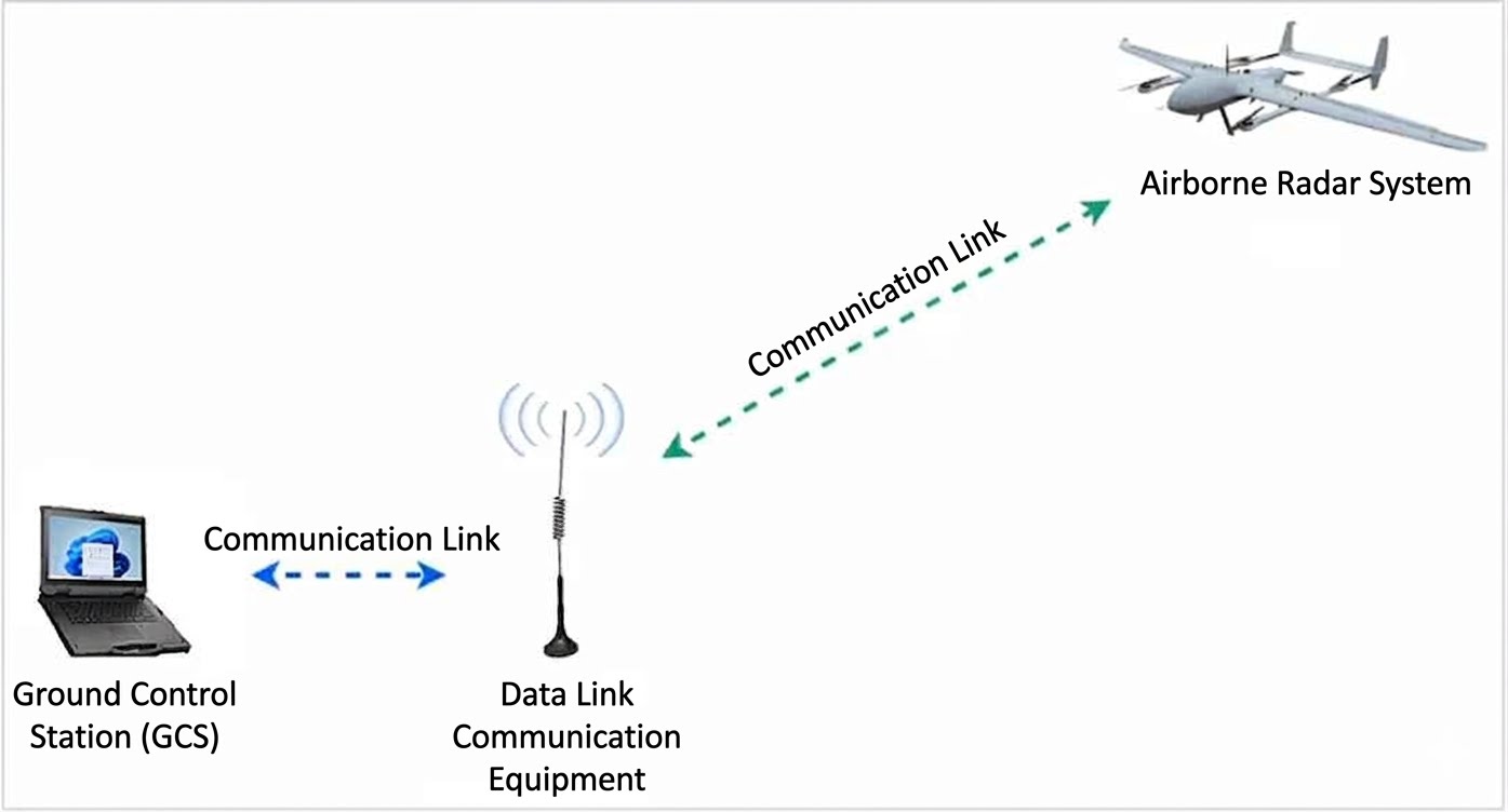
Suzhou Tianjing Yunhu Intelligent Technology Co., Ltd.'s independently developed SAR radar ground station integrated display and control program is a comprehensive display and control software that integrates mission planning, flight path design, real-time imagery, map visualization, remote local control, and equipment status monitoring. Based on a geographic information system, the software allows operators to intuitively complete all preliminary preparations on a map. Whether importing KML survey area files, loading high-resolution TIF imagery, or manually drawing reconnaissance areas, it's as simple as using ordinary map software.
Radar control video
System Main Capabilities:
Map base map and TIF imagery, KML survey area, flight path/coverage area visualization;
SAR flight path planning (manual, automatic line laying, polygon surround, clustered flight path, etc.);
Remote local control (MFSARCtrl), completing power-on, data acquisition, parameter distribution, and flight path loading;
Real-time image and location display, echo display, parameter panel, and log monitoring;
Project saving/restoration, supporting persistent task status.
System Main Advantages:
Interface Level: User-friendly, easy to use, clearly categorized parameters, and intuitively visualized results;
Operation Level: Completely covers the core SAR monitoring process, making the learning process easy and effortless for beginners;
Control Level: Stable and reliable remote control, clear real-time status, and full process coverage. Operators can complete all stages from "task preparation" to "data acquisition" without switching tools, significantly shortening the work cycle.
Main Core Functions:
System Operation Control
This is the "control" part of "display and control," the window through which operators issue commands to the radar. Operators can select the radar's operating mode here, such as "strip mode" or "spotlight mode," to adapt to different observation tasks. During a mission, they can flexibly adjust various radar operating parameters, such as viewing angle, beamwidth, and pulse repetition frequency, to optimize imaging results. Controlling the radar's start-up, shutdown, data recording, and playback serves as the command center for the entire mission process.
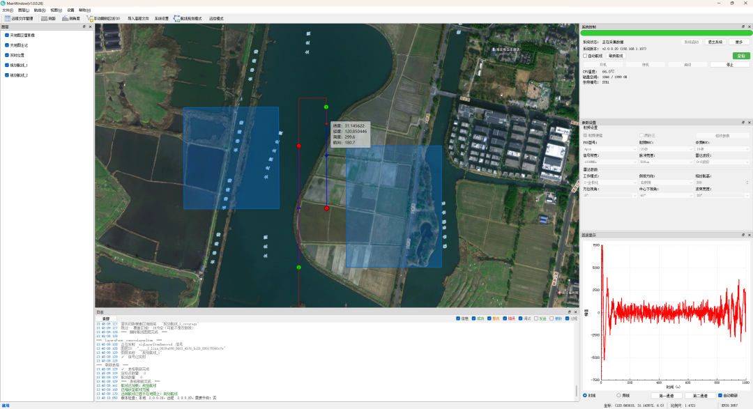
System Control
Flight Route Planning
Regarding flight route planning, the software offers a variety of generation methods: you can manually draw a single flight route, use the "Coverage Area" function to generate a strip flight route covering an entire survey area with a single click, or use the "Polygon Flight Route" to achieve circular flight. Particularly noteworthy is the "Banded Flight Route Generation" function—simply input the latitude and longitude, banding angle, and azimuth of the target point, and the software can automatically calculate the optimal flight path.
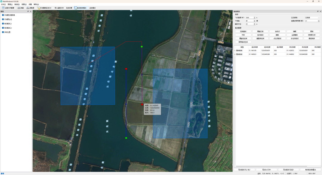
Route planning
Real-time Image Display
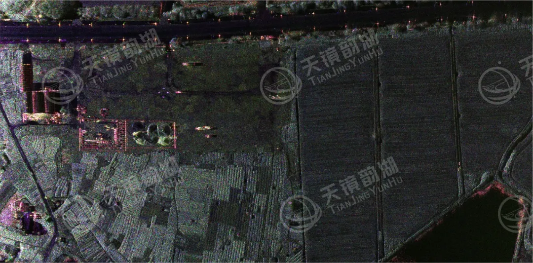
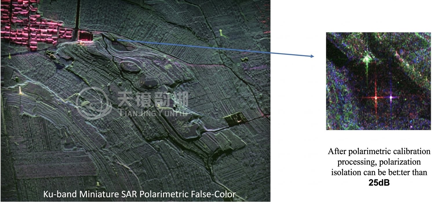
Image results can be synchronously transmitted back to the ground via data transmission links and visualized on the control terminal, enabling a "reconnaissance while in flight" imaging experience and greatly improving mission response efficiency. Simultaneously, the system supports pushing real-time images as DOM (digital orthophotos) to map software for display, and can mark the detected target locations on the map, further improving the intuitiveness of operations and the accuracy of target positioning.
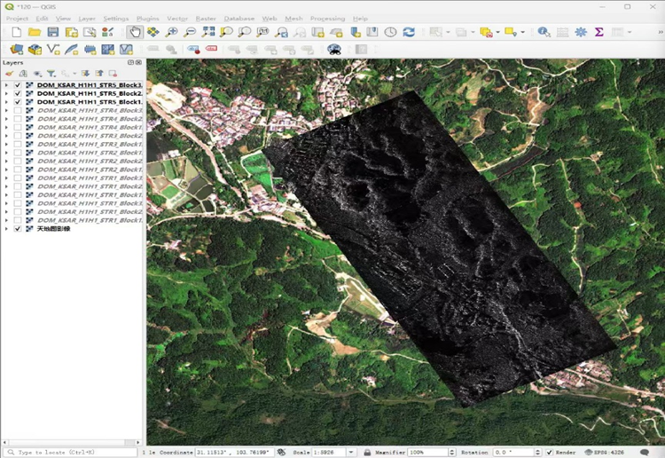
Image display
Data Record Management
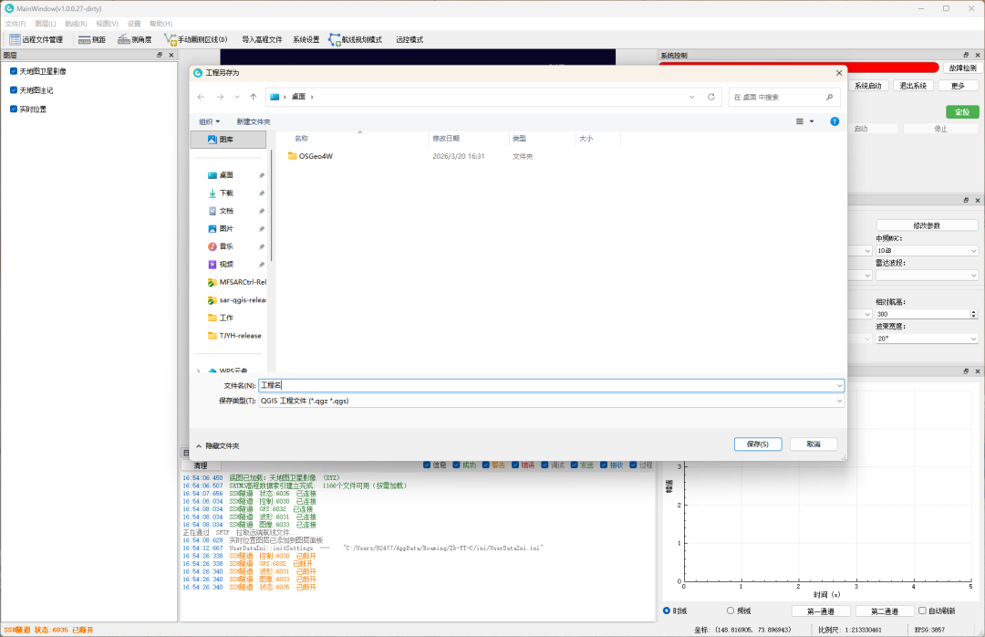
This is the core capability of the software, running silently in the background. All map layers, flight path data, and parameter settings can be saved as project files, allowing for a one-click restoration of the entire state upon reopening. The remote file management function, via SFTP, enables operators to browse, upload, and download files from radar equipment as if using a local computer, significantly improving data flow efficiency.
In short, SAR integrated display and control software provides an efficient, stable, and easy-to-use solution for SAR operations. This software integrates complex system parameters into a unified and clear interface, allowing operators to easily complete various complex tasks without needing in-depth knowledge of the underlying technical details. If you are interested in SAR ground integrated display and control software or radar imaging solutions, please feel free to contact us!