


News and Resources
Company News
 Home
2025.10.14
Tianjing Yunhu | Popular Science on Spaceborne, Airborne, and Ground-based SAR
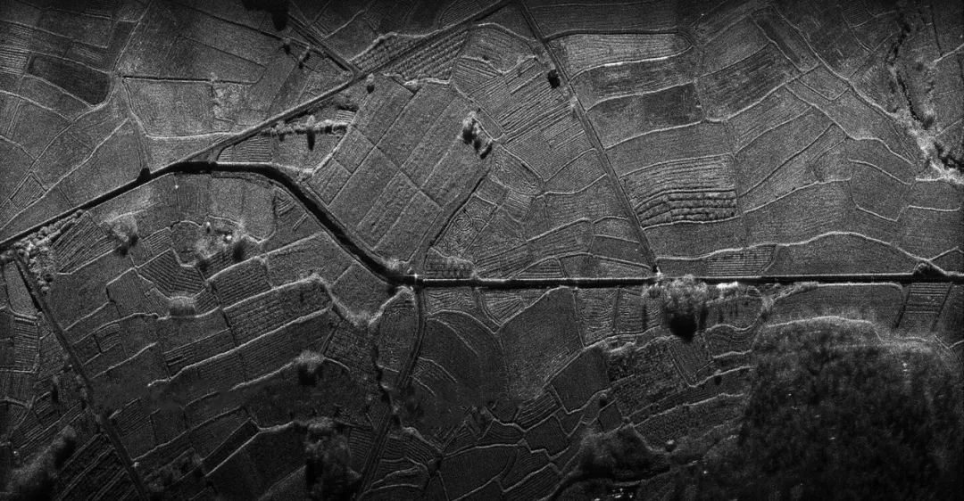
When you stand on the ground, you can see the outlines of trees; climb a tall building, and you can observe the layout of an entire street; if you take an airplane, you can overlook the entire city. This change in perspective brings about a revolution in cognition. Synthetic Aperture Radar (SAR) technology is precisely the "eye in the sky" for humankind to perceive the world. It is not limited by day or night or weather, penetrates clouds and fog, and can even "touch" subtle changes on the Earth's surface, giving us unprecedented observation capabilities.
2025.10.06
Tianjing Yunhu | Application of SAR in Military Reconnaissance: Technological Advantages, Scenario Practices, and Development Trends
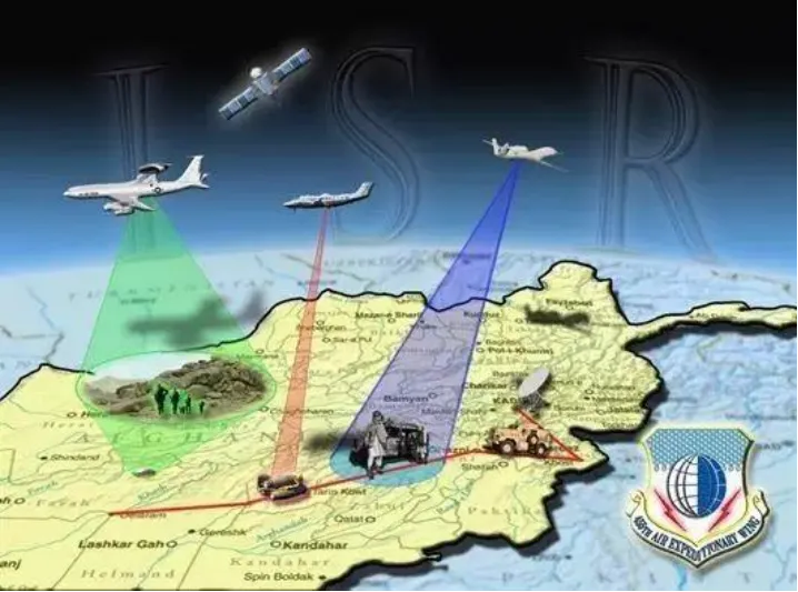
Synthetic Aperture Radar (SAR), with its unique technological advantages of all-weather, all-day, high-penetration, and multi-dimensional observation, has completely changed the passive situation of traditional military reconnaissance, which was "dependent on lighting and limited by weather." It has become a core piece of equipment for "battlefield situational awareness, precise target location, and dynamic threat monitoring" in modern information warfare. From tactical-level reconnaissance of individual soldier equipment to strategic-level monitoring of military facilities, SAR, through combinations of different bands, resolutions, and polarization modes, constructs a three-dimensional military reconnaissance system covering "air-space-ground," providing real-time and reliable intelligence support for command and decision-making.
2025.09.30
Tianjing Yunhu | Application and Development of InSAR Deformation Monitoring
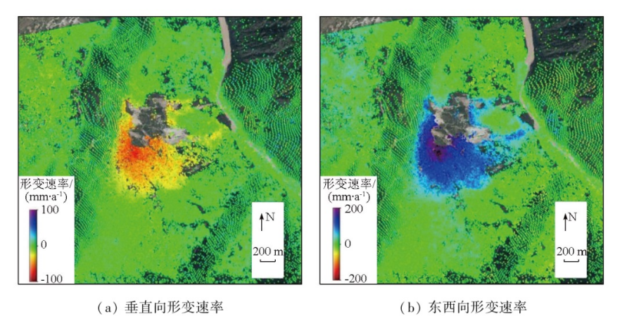
Interferometric Synthetic Aperture Radar (InSAR) technology is a space-based Earth observation technique that uses multiple interferometric images of the same area from synthetic aperture radar (SAR) combined with signal processing and geodetic principles to achieve high-precision inversion of the three-dimensional deformation field and topographic information of the Earth's surface. Its core advantages lie in its wide coverage, high spatial resolution, and all-weather, all-time observation capabilities, breaking through the limitations of traditional ground monitoring methods (such as GPS and leveling) in terms of coverage and efficiency. Deformation monitoring accuracy can reach the millimeter to centimeter level.
2025.09.23
Tianjing Yunhu | Miniature SAR Technology Creates a New Framework for Typhoon Monitoring
Typhoon disaster response requires a complete closed loop of "monitoring-early warning-rescue," and miniature SAR technology, with its unique advantages, is playing a crucial role in each link of this chain. In the early stages of typhoon formation, miniature SAR systems mounted on small satellite constellations can achieve high-frequency monitoring, identifying early signs of tropical disturbances developing into typhoons by analyzing changes in sea surface microwave scattering characteristics. Compared to traditional satellites, small SAR satellites are lower in cost, more flexible in deployment, and can form a denser observation network, significantly improving the timeliness of typhoon formation warnings.

2025.09.16
Tianjing Yunhu | Practice and Application of SAR Technology in Aircraft Target Detection
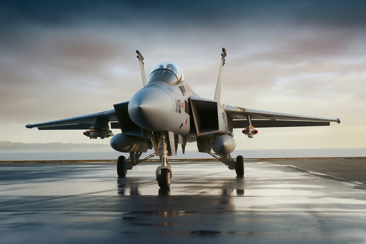
In modern air defense systems, airport operation management, and military reconnaissance, the timeliness, accuracy, and all-weather capability of aircraft target detection are crucial. Traditional optical detection technologies are limited by weather conditions (such as rain, fog, and haze) and lighting environments (such as nighttime and strong light), making continuous monitoring of aircraft targets difficult. Synthetic Aperture Radar (SAR) technology, with its all-weather, all-time, high-penetration, and long-range detection advantages, can acquire high-resolution images and scattering characteristics of aircraft targets in complex environments, becoming a core technology for aircraft target detection. Currently, as SAR technology develops towards multi-polarization, high resolution, and lightweight design, its practical applications in aircraft target detection have covered scenarios such as military airport reconnaissance, civil airport operation monitoring, and low-altitude aircraft control. Through technological optimization and algorithm innovation, it has effectively solved the problems of "difficulty in identifying, tracking, and distinguishing" aircraft targets, providing strong support for improving safety and efficiency in the aviation field.
2025.07.29
Tianjing Yunhu | The Principle and Significance of Micro SAR Monitoring of Soil Moisture Soil moisture is an important indicator for measuring the availability of surface water resources.
Soil moisture is a crucial indicator of surface water availability. It plays a key role in the Earth's water cycle, connecting precipitation, evaporation, storage, and runoff. Soil moisture data is vital for agriculture, forestry resource management, and fire prevention. However, traditional soil moisture monitoring methods have certain limitations.


