
Tianjing Yunhu | Miniature Airborne SAR Service: Full-Chain Flight Support

Browse: 33 Time: 2026-09-21

As the application of drones and the low-altitude economy continues to expand in fields such as surveying and inspection, agricultural and forestry plant protection, emergency reconnaissance, and power line inspection, related demands are constantly growing. Against this backdrop, it is crucial to ensure that the chosen partner possesses valid flight qualifications—a compliant "flight license." Without this qualification, not only can the partner not undertake legitimate flight activities, but the safety and compliance of the operations cannot be guaranteed.
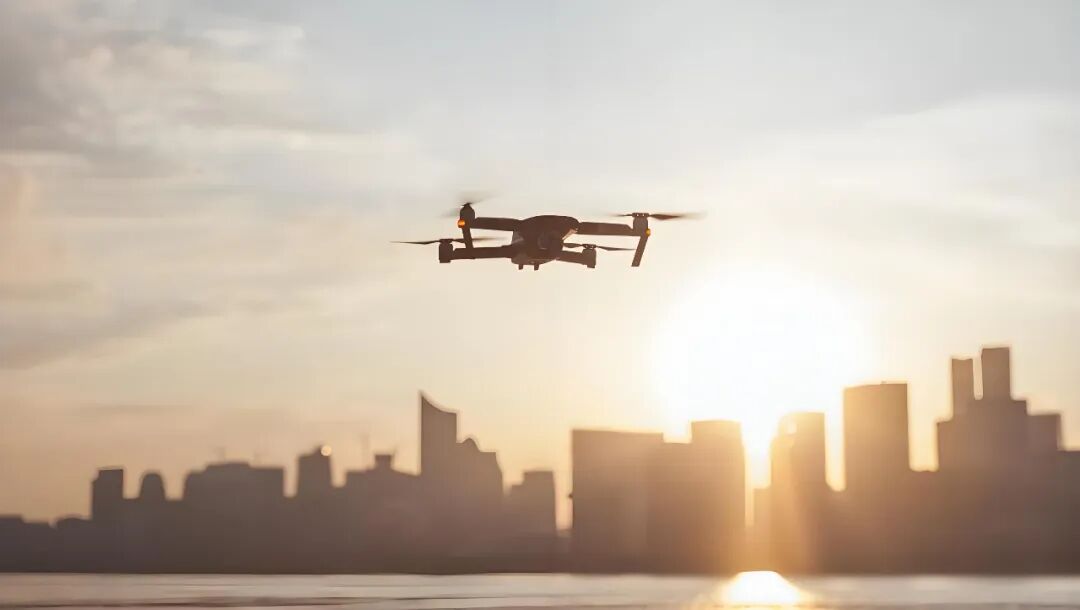
Recent new regulations on unmanned aerial vehicle (UAV) management issued by Beijing have sparked considerable discussion within the UAV and low-altitude economy industry. Safety and compliance are prerequisites for the long-term, healthy development of the low-altitude economy. Strict control is not targeted at the UAV industry itself, but rather a necessary choice resulting from the combined effects of a city's unique positioning, dense population, and limited airspace. In cities with dense high-rise buildings and intersecting flight paths, the risks of unauthorized flights, loss of control, or crashes by UAVs are magnified exponentially. Therefore, having a compliant flight airspace is crucial.

Tianjing Yunhu not only possesses a formal flight base but also a standing professional flight team. All operators hold civil UAV operator licenses, meeting all qualification requirements for operators under the "Interim Regulations on the Management of Unmanned Aerial Vehicle Flights" in China. Operationally, the company has obtained a civil UAV operation qualification certificate, possessing the complete legal qualifications to conduct commercial flight activities, and can legally apply for airspace and execute flight missions nationwide.
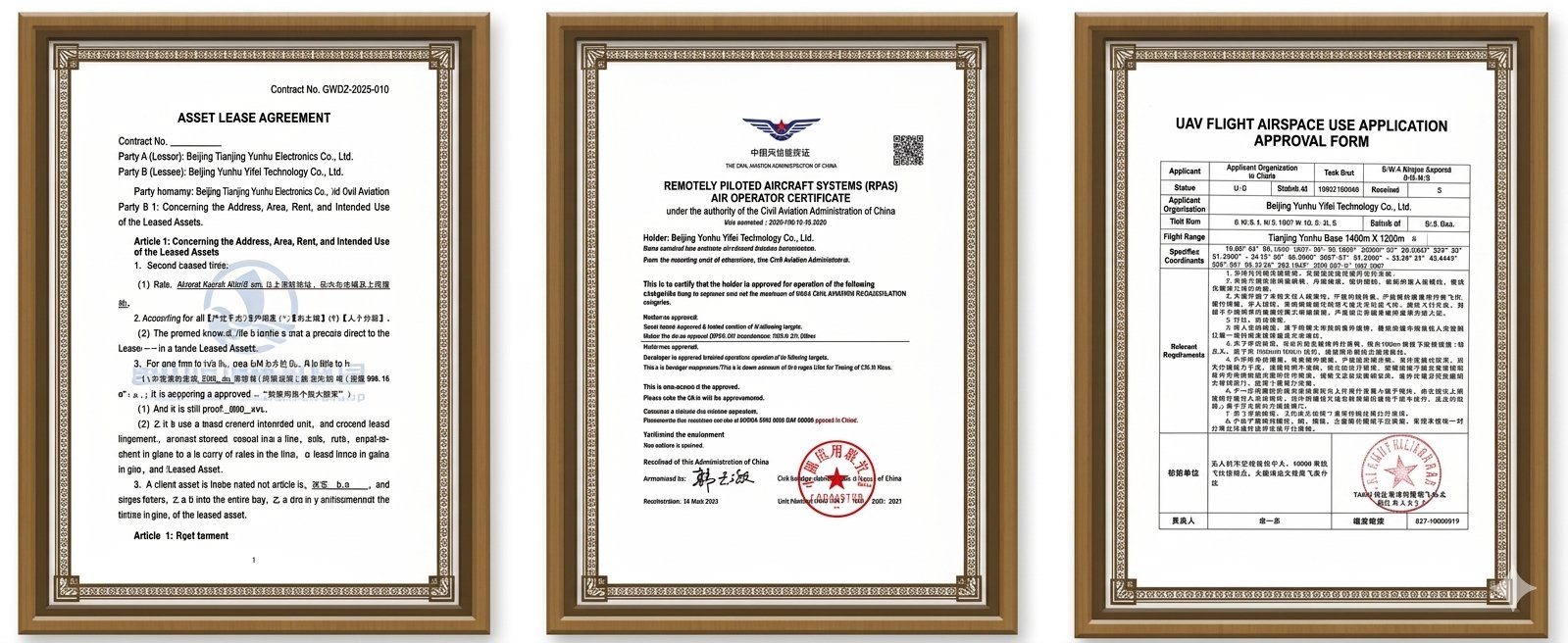
                                                        Flight Permit

When the industry faces the dilemma of "demand without compliant channels" due to new regulations, Tianjing Yunhu offers more than just equipment or venues; it provides a complete and feasible flight solution comprised of four core capabilities:

✅ A professionally licensed flight team: Tianjing Yunhu boasts a standing professional flight team. All operators hold civil unmanned aerial vehicle (UAV) operator licenses and have undergone standardized professional training, familiar with operational procedures and safety regulations in complex environments. Under the new regulations, pilot qualifications are the first hurdle, which we have already overcome.

✅ Legally compliant flight permits: The company has obtained a civil unmanned aerial vehicle (UAV) operation certificate, possessing all the legal qualifications to engage in commercial flight activities. From airspace application to route registration, the entire process is carried out in accordance with laws and regulations. Clients receive not non-compliant flight results, but verifiable flight data.

✅ Dedicated Flight Site and Testing Base: Located in the core area of ​​Zhouzhuang, Kunshan, the base covers an area of ​​over 40 square kilometers and includes a dedicated, 300-meter-high independent airspace year-round. This completely breaks through the industry's common problems such as cumbersome airspace approvals, limited flight testing, and insufficient test frequency, ensuring the efficient and routine conduct of various SAR flight tests.

✅ Full-Chain Closed-Loop Compliance Solution: From airspace application and route design to on-site operations and data processing and delivery, the entire chain is executed in a closed loop by a certified team. Clients do not need to deal with complex approval processes and operational risks themselves; they only need to state their requirements, and the rest is handled by the Tianjing Yunhu Flight Team.
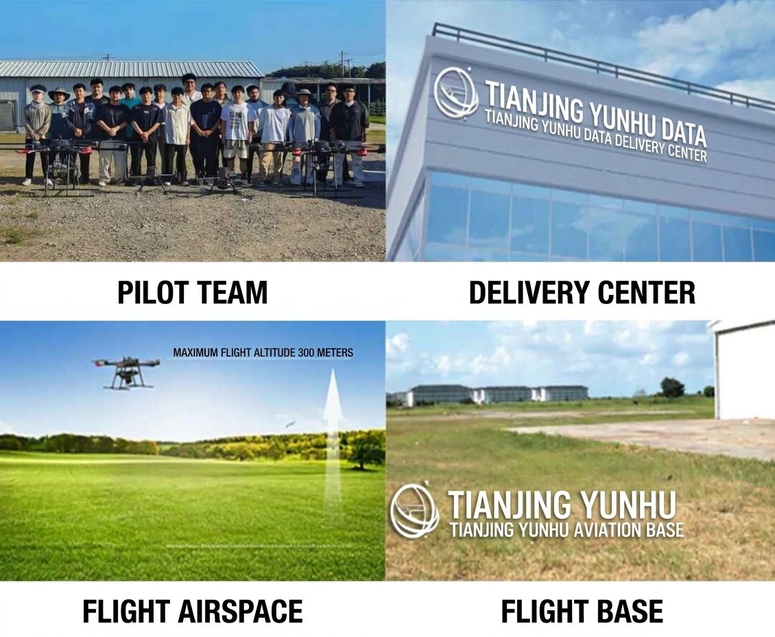
Facility conditions guarantee

Tianjing Yunhu boasts a top-tier flight test site in China, and the company has simultaneously perfected its industrial support and customer service system. Our products are compatible with a full spectrum of flight platforms, including multi-rotor aircraft, VTOL fixed-wing aircraft, and manned aircraft, truly achieving "flying, flying safely, and flying efficiently!"

Building on the present, we also look to the future. Our flight service team will continuously strive for higher goals, exploring new areas and applications of airborne SAR technology, and leveraging our expertise to provide high-quality SAR flight service solutions to customers across the country. If you are interested in radar technology or are looking for high-quality radar flight services, please follow our latest updates. We look forward to cooperating with you!


Related Information

Related Information
2026.08.28

Tianjing Yunhu | MiniSAR: Full Polarimetric Imaging Capability

In the field of remote sensing today, synthetic aperture radar (SAR), visible light, and infrared together form a multi-layered observation system. Visible light remote sensing is intuitive and clear, while infrared remote sensing excels at thermal sensing. However, both are passive detection methods, heavily reliant on sunlight or the target's own thermal radiation. Once they encounter cloud cover, nightfall, or rainy/foggy weather, their detection capabilities are significantly reduced or even completely lost.
2026.08.26

Tianjing Yunhu | P-band Airborne SAR Radar System

Low-frequency radars (such as P-band and L-band radars) can "see farther and see more clearly" because of their longer wavelengths, lower attenuation, and reduced sensitivity to stealth coatings. In modern air defense systems, they are key to anti-stealth radars. They can penetrate 1-meter-thick camouflage netting and 3-meter-thick bushes to identify hidden tanks and radar stations, and are less likely to trigger enemy warning systems, demonstrating significant advantages in covert detection.
2026.08.21

Tianjing Yunhu | Miniature SAR Vehicle Target Dataset

Synthetic Aperture Radar (SAR) target detection datasets are a core foundation for training and evaluating deep learning models. These datasets cover various target types, including ships, aircraft, vehicles, bridges, and oil tanks, and are applicable to multiple fields such as military reconnaissance, maritime monitoring, and traffic management. They not only provide high-resolution SAR images but also contain precise annotation information (category, location, size, etc.), ensuring improved algorithm performance.
2026.08.17

Tianjing Yunhu | Miniature SAR Equipped with Fixed-Wing UAV

Today's main focus is on the CW-25E VTOL fixed-wing UAV and the Tianjing Yunhu XiangYun System pulse MiniSAR.

The CW-25E is a pure electric VTOL fixed-wing UAV designed specifically for large-area missions. It has a fuselage length of 2.08 meters, a wingspan of 4.35 meters, and features a twin-boom fused inverted V-tail design, resulting in a compact structure and excellent aerodynamic performance.

The CW-25E has a maximum takeoff weight of 31.58 kg and a payload capacity of 6.6 kg, capable of simultaneously carrying various mission equipment such as SAR, lidar, and electro-optical pods. It boasts a maximum endurance of 150 to 240 minutes, a service ceiling of 6000 meters, a maximum takeoff altitude of 4000 meters, and wind resistance up to level 7. It can stably perform patrol missions in complex terrain and high-altitude areas.
2026.07.18

Tianjing Yunhu | Airborne SAR (Synthetic Aperture Radar) Calibration Capability

Airborne SAR (Synthetic Aperture Radar) calibration refers to the calibration of various parameters of an airborne SAR system using specific methods to eliminate systematic and environmental errors, thereby ensuring the quality of SAR images, positioning accuracy, and the accuracy of inversion parameters. Airborne SAR calibration is mainly divided into three categories: geometric calibration, radiometric calibration, and polarimetric calibration.
2026.07.13

UAV L-band Heavy Orbit Interferometric SAR System: Airborne Verification for Millimeter-Level Deformation Monitoring

Synthetic Aperture Radar Interferometry (InSAR) technology, with its all-weather, 24/7 capability and high sensitivity to surface deformation, has become an important tool for geological hazard monitoring, ground subsidence investigation, and infrastructure health diagnosis. Integrating InSAR technology onto unmanned aerial vehicle (UAV) platforms further overcomes the limitations of long satellite revisit cycles, insufficient maneuverability, and high costs associated with manned operations, providing a new approach for regional, high-frequency, and high-precision deformation monitoring. However, the small size and susceptibility of UAV platforms to airflow disturbances make it difficult to maintain consistent flight paths during repeated flights, posing a significant challenge to double-track interferometry processing.

Online Message

Company Address

Company Address

Room 801, Building 14, No. 135 Zhangji Road, Kunshan Development ZoneView the map
Emaile

Email

tjyh888@139.com
Postal Code

Postal Code

215300
Sales contact information

Sales contact information

  • Sales 1:18252999418 (same WeChat)
  • Sales 2:13126758269 (same WeChat/Whatsapp)
  • Sales 3:15862678208 (same WeChat)
  • Sales 4:15895462772 (same WeChat/Whatsapp)
验证码
Submit

Contact Us

关注我们
关注我们




