
News and Resources
Company News
 Home
Home2026.08.13
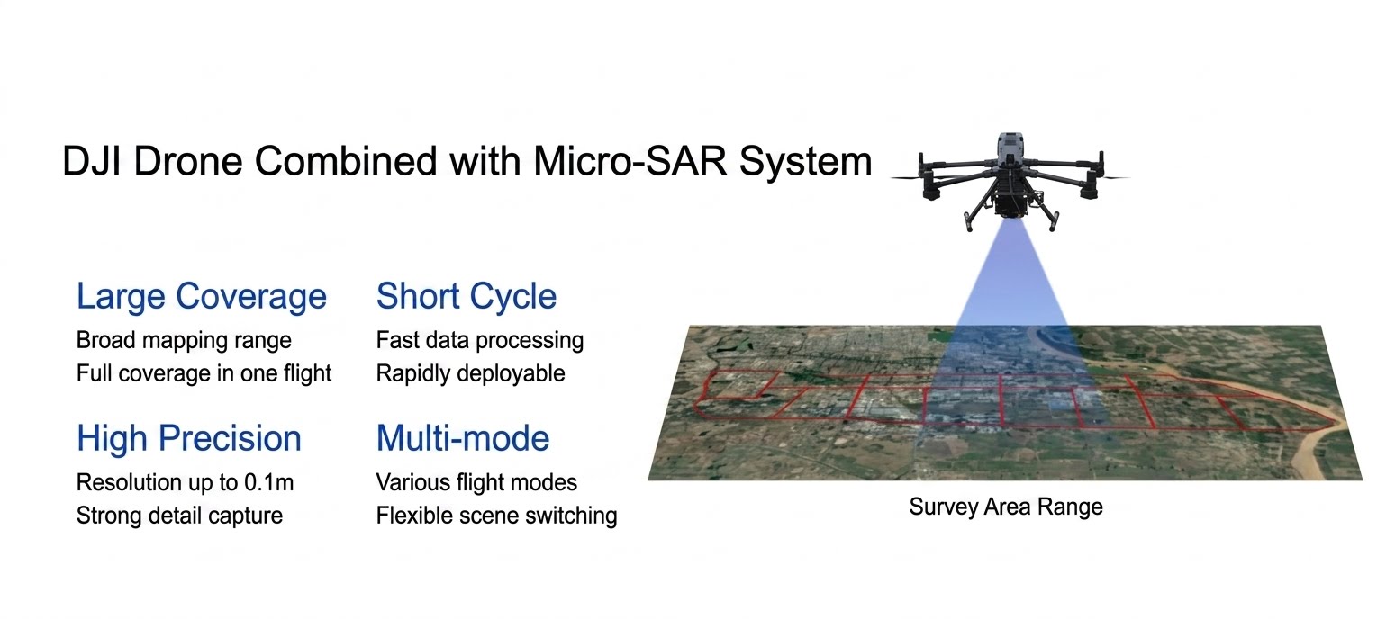
Tianjing Yunhu | Miniature SAR and DJI M400
Airborne synthetic aperture radar (SAR) has gradually become the "main force" in the field of low-altitude remote sensing due to its technical advantages of all-weather, all-time, and high resolution. It has performed particularly well in terms of real-time data, high-precision imaging, and dynamic and static target monitoring, providing new technical solutions for various application scenarios, especially in the fields of maritime surveillance, topographic mapping, power line inspection, and urban planning.
2026.08.10
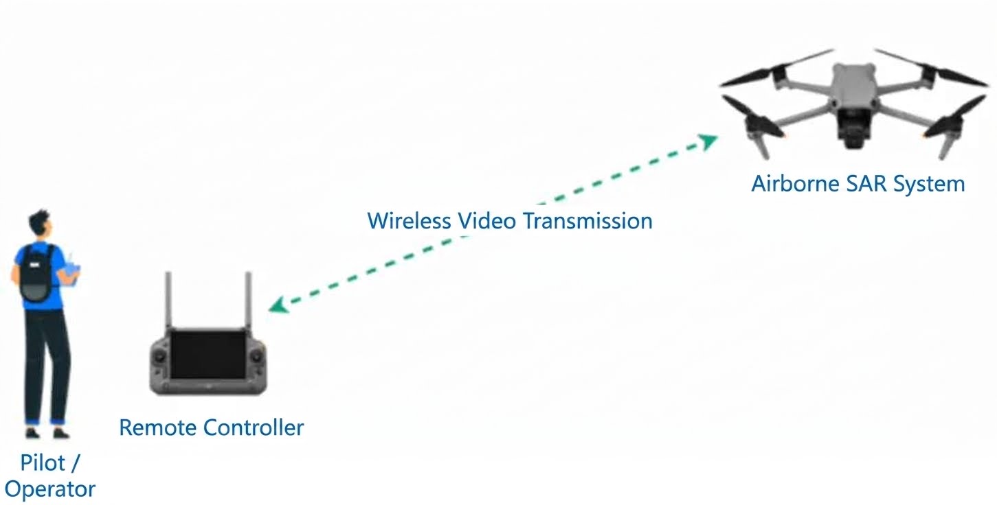
Tianjing Yunhu | A Complete Record of Miniature SAR Aerial Survey Missions
Airborne synthetic aperture radar (SAR) refers to radar mounted on an aircraft or drone that transmits microwave signals to the ground while in flight, then receives the reflected echoes and, after a series of calculations and processing, generates a clear "microwave photograph." Unlike ordinary optical cameras, SAR's biggest advantage is its all-weather, all-day capability; it can take pictures day and night, and is unaffected by wind or rain.
2026.08.06
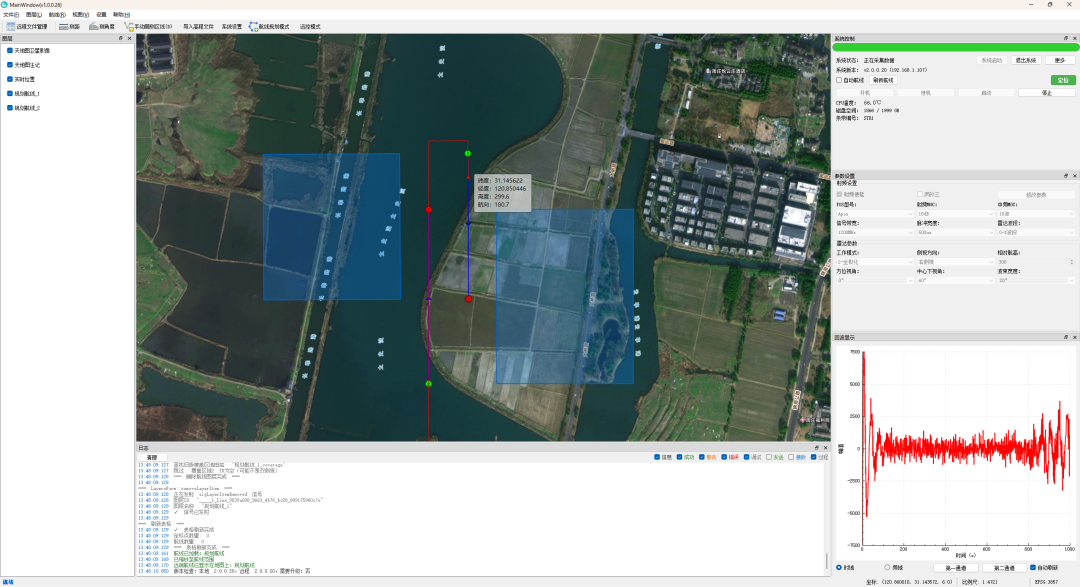
Tianjing Yunhu | SAR Ground Integrated Display and Control Software
The “SAR Integrated Display and Control Software” is the core human-machine interface of the Synthetic Aperture Radar (SAR) system. It is responsible for processing, displaying and managing the data generated by the radar system, and enabling operators to control and monitor the operation of the entire system in real time and effectively.
2026.07.31
Tianjing Yunhu | L-band Deformation Monitoring System
In scenarios such as geological disaster early warning, health monitoring of large bridges, and settlement observation in mining areas, surface displacements that are imperceptible to the naked eye often harbor enormous risks. How to efficiently, accurately, and cost-effectively capture these "millimeter-level" changes is an important research direction in the field of modern remote sensing.
2026.07.29
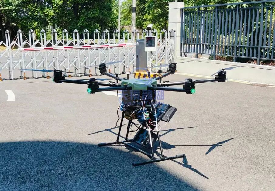
Tianjing Yunhu | DJI M400 equipped with MiniSAR system
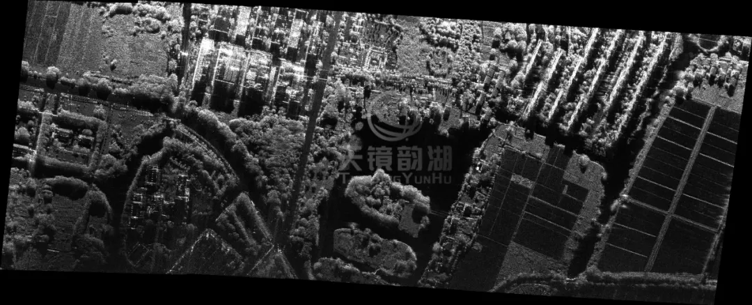
Synthetic Aperture Radar (SAR) is an advanced radar technology capable of penetrating darkness and fog to acquire high-resolution images of the Earth's surface. It transmits pulse signals via airborne or ground-based platforms and analyzes the reflected phase and amplitude information to construct detailed ground images. SAR is widely used in remote sensing mapping, geological exploration, disaster monitoring, and national defense.
2026.07.23
Tianjing Yunhu | UAV-borne MiniSAR Technology
Synthetic aperture radar (SAR) is one of the core technologies in the field of remote sensing and measurement. SAR is an active Earth observation system. Because it operates in the microwave band, SAR images are not affected by weather conditions such as clouds, rain, and snow, and can acquire clear surface information in various complex environments. It has important application value in civilian and military fields.